

01
CUT + FILL
Compare against design
Difference the captured surface against your engineer or surveyor’s design surface to quantify cut and fill and show where the variance sits.
↗
 CPM Maprehension
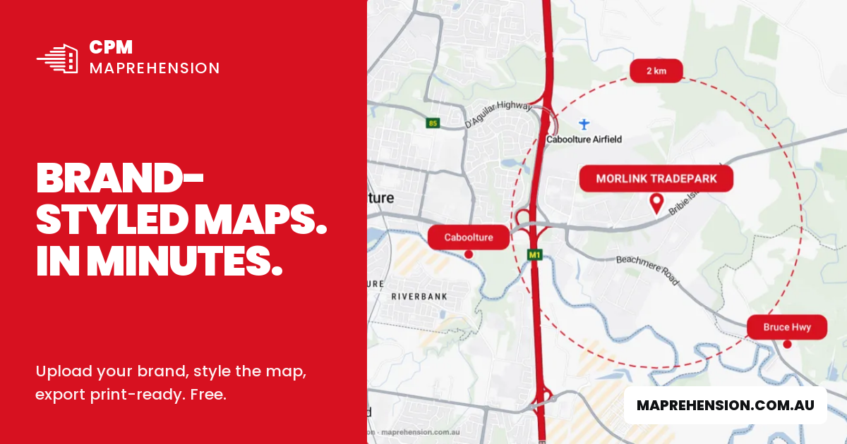
Brand-colour location maps, styled and exported in minutes. Open tool
 Development Feasibility
Estimate yield, cost, value and margin for 77 development types, calibrated to your site address. Explore
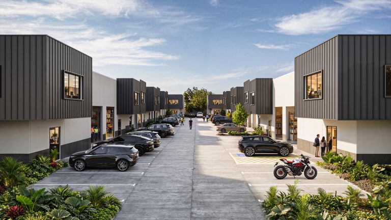 Horus Bend
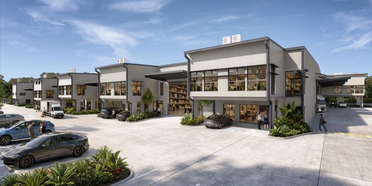 158 Ingleston Road
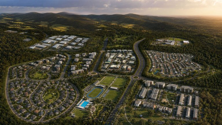 Southern Thornlands
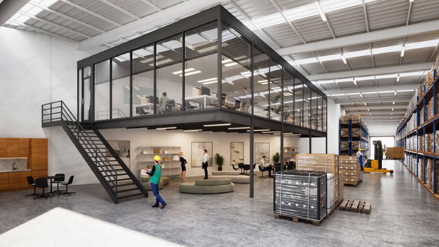 Second Space – Building F
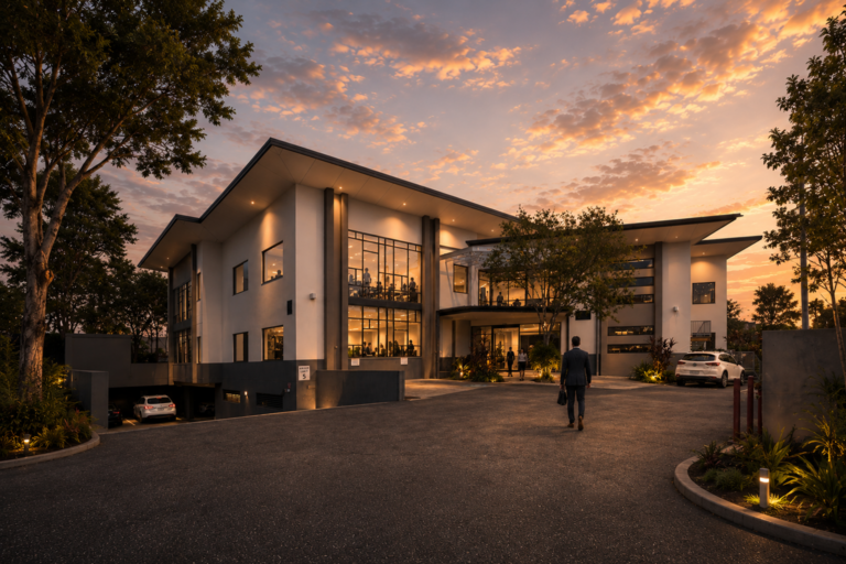 Garden City Office Park – Investor Campaign
 Meadowbrook Health Centre Investor Campaign
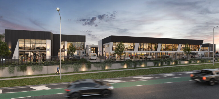 Depot Connect
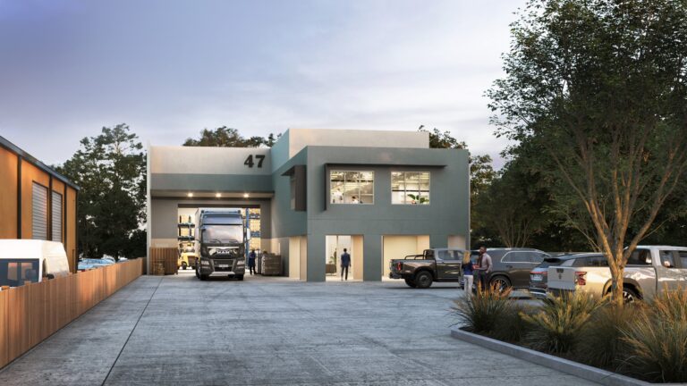 47 Queens Road, Everton Hills
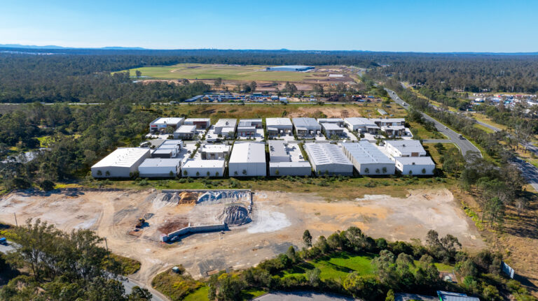 Logan Flagstone Industrial
 Silvyn St – Altiva
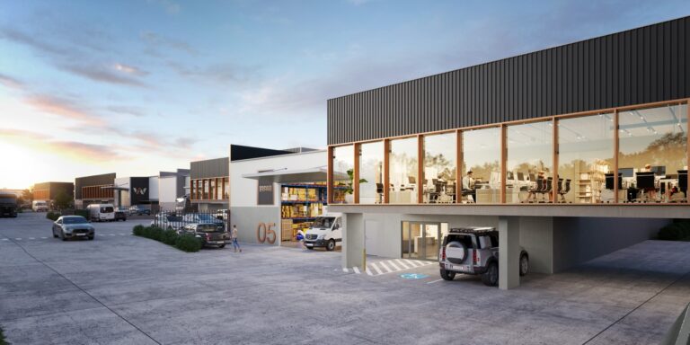 18 Production Street
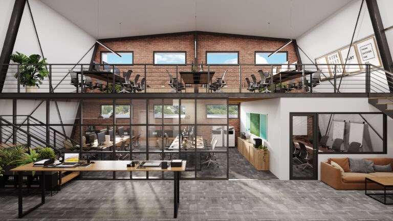 East St
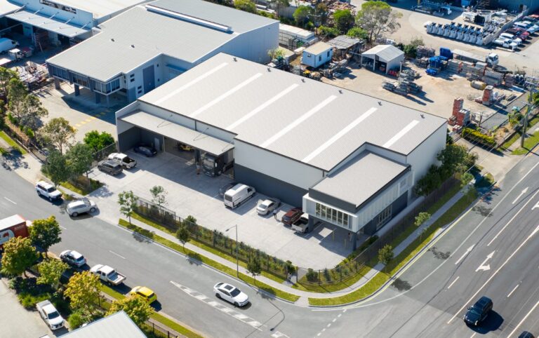 1-3 Calcium Court, Crestmead, QLD
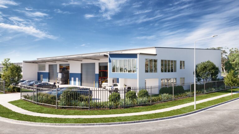 Chippendale Road
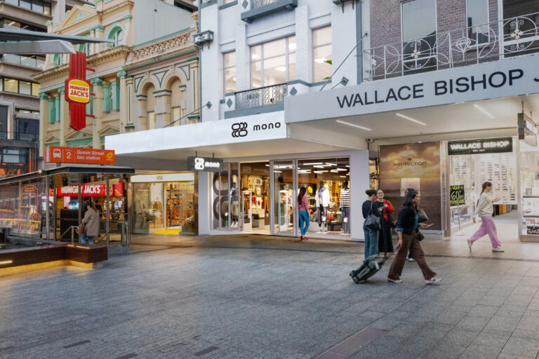 121 Queen St Brisbane
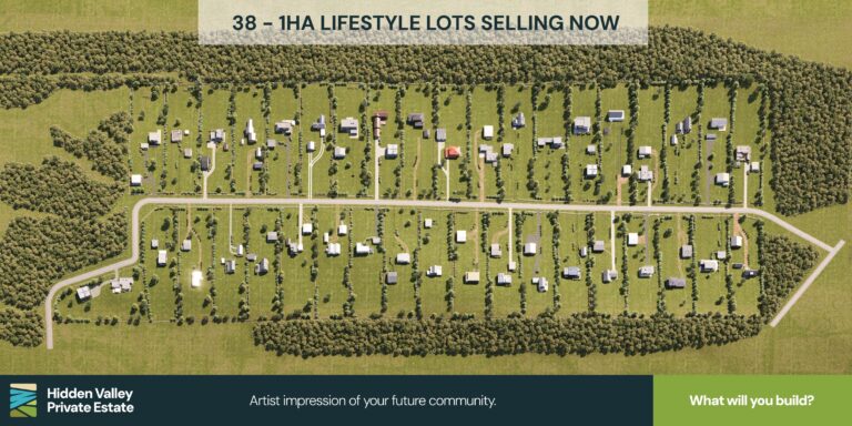 Hidden Valley Dongara
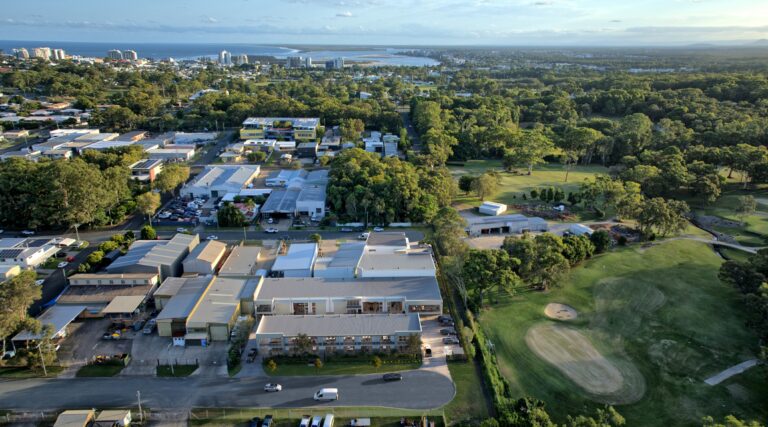 The Depot – Moffat Beach
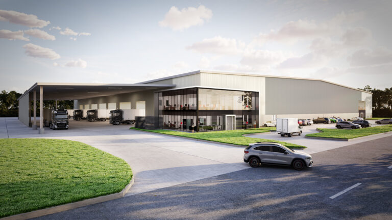 8 Agar Drive
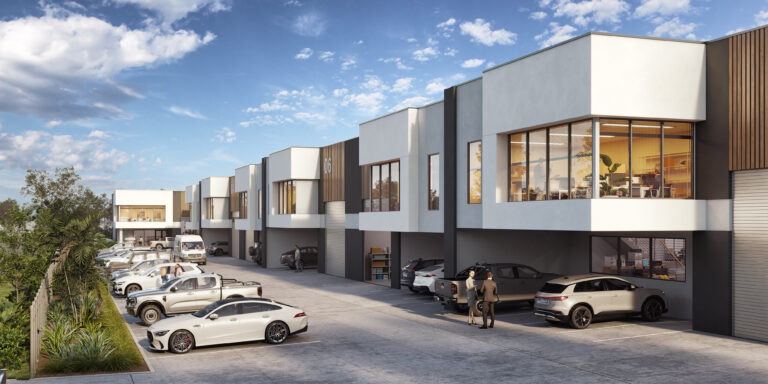 26-28 Tomlinson Road Welshpool
Morlink TradePark
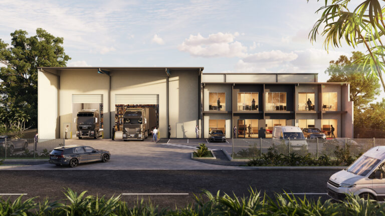 14 Feeder St Narangba
 Infinity Planet
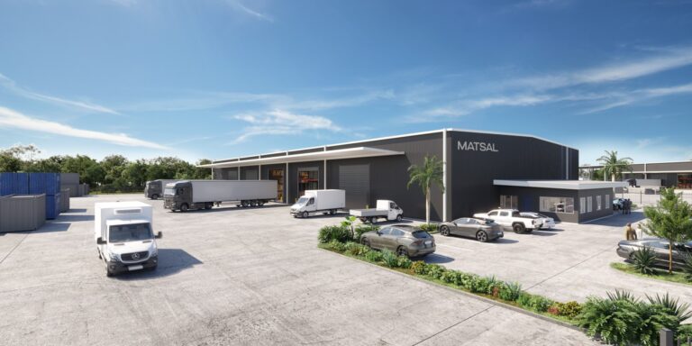 189 Briggs Road Flinders View
 CityPort Cold Stores
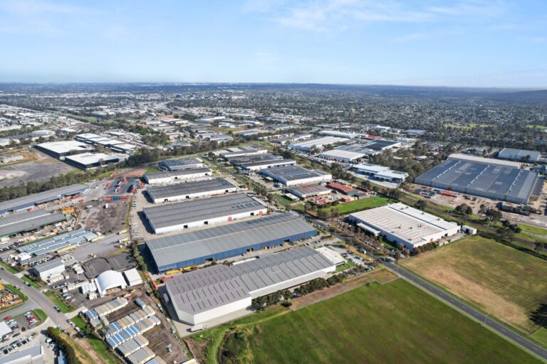 Nathan Road, Dandenong
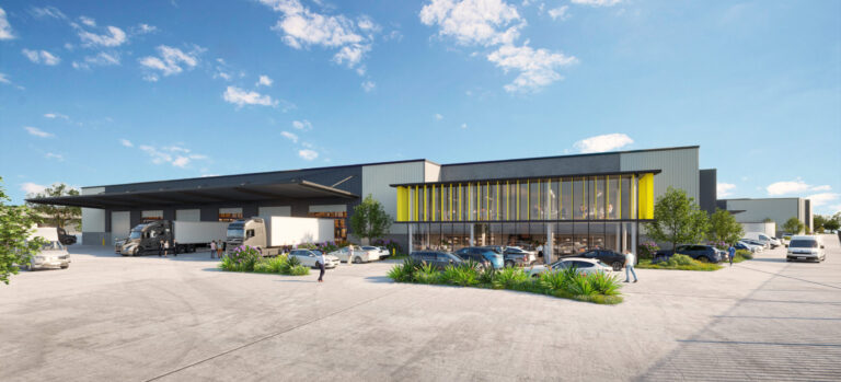 31 Johnstone Rd Brendale
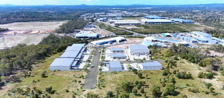 Transit Industrial Estate
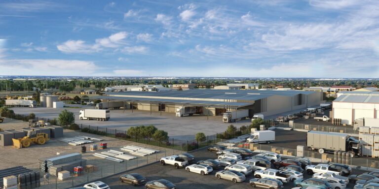 400-416 Martins Road Green Fields
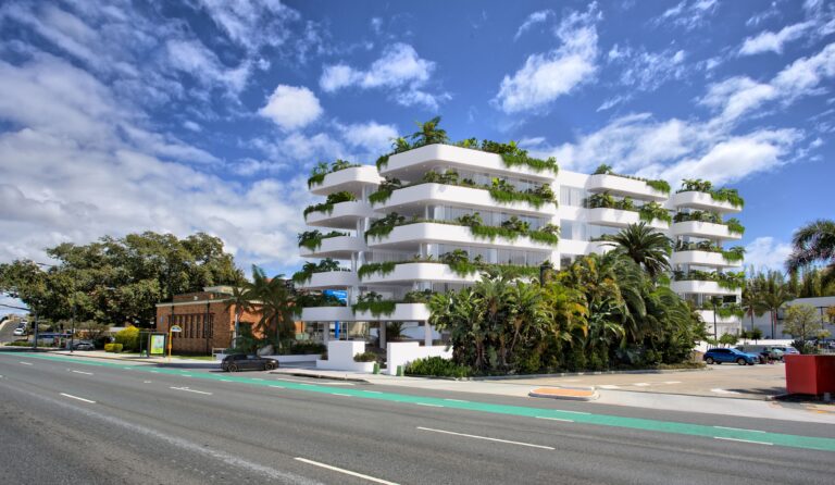 422 Kingsford Smith Drive
 13 Glasson Drive Bethania
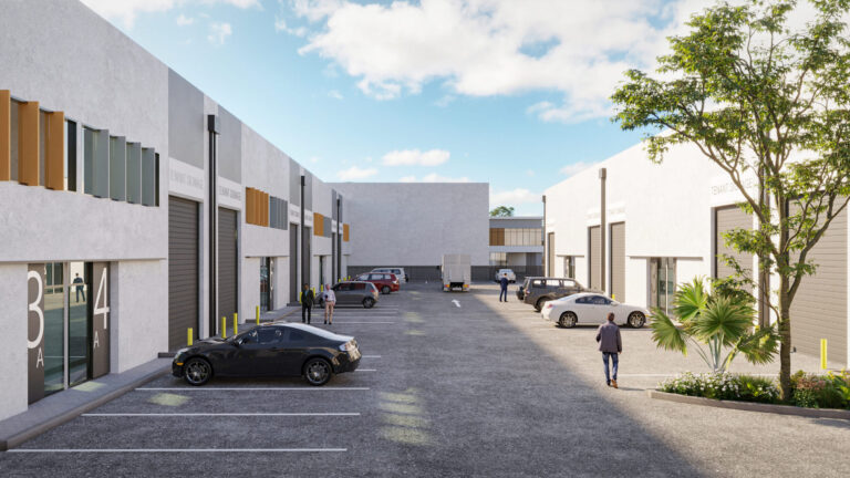 157 Jacobs Well Rd
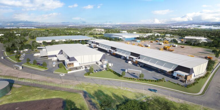 95 Quinns Hill Road East Stapylton
 Bancroft Road Pinkenba
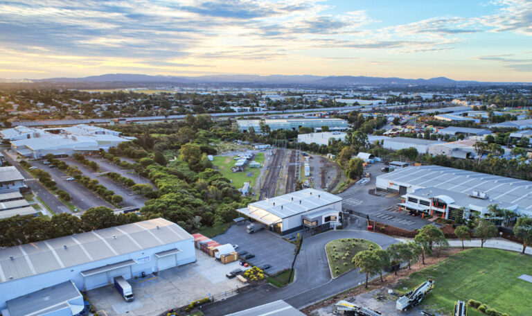 243 Bradman St Acacia Ridge
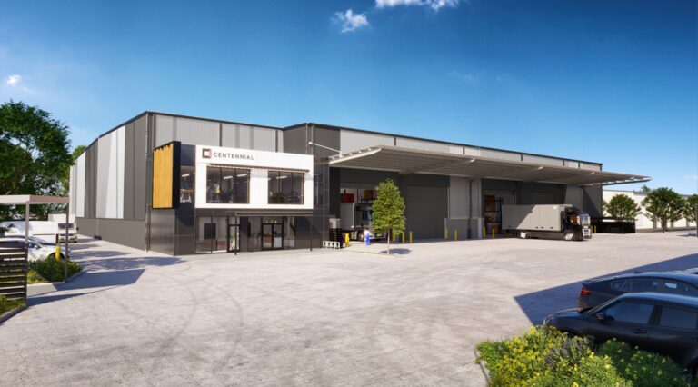 1021 Beaudesert Road Archerfield
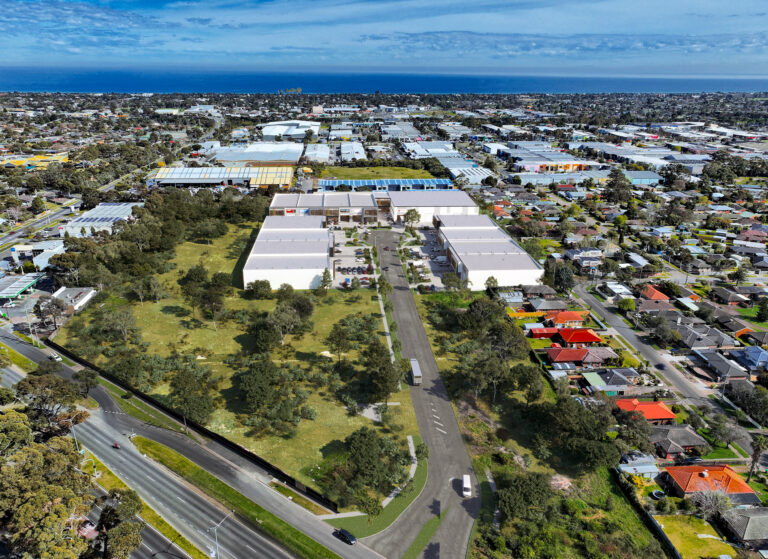 300 Frankston Dandenong Rd
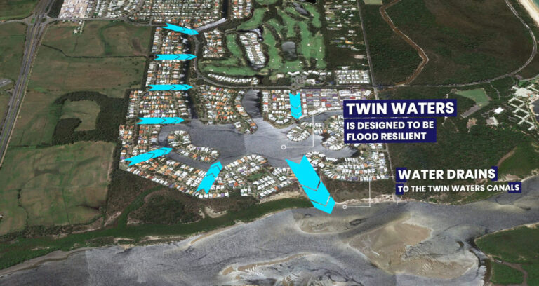 Stocklands Twin Waters
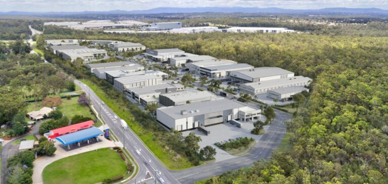 Hub Heathwood
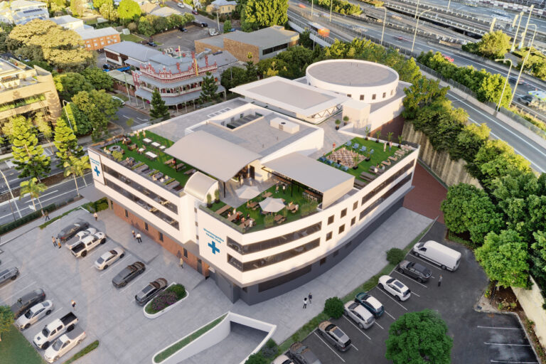 87 Ipswich Road Woolloongabba
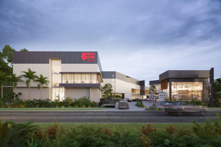 1631 Wynnum road
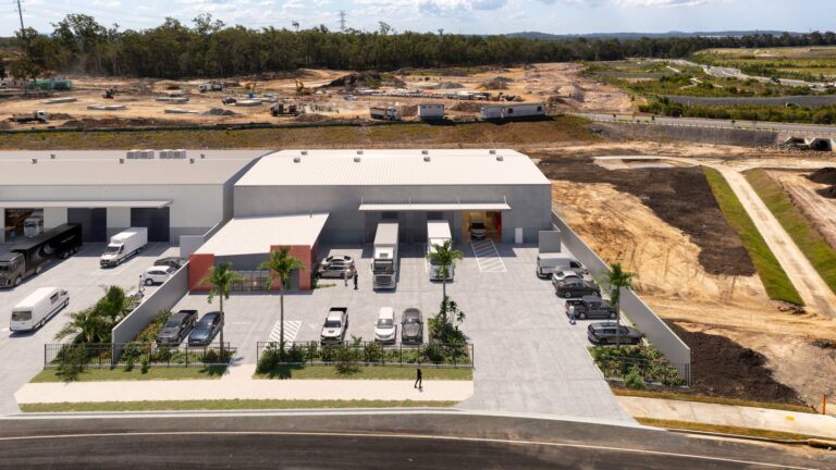 Prosperity Place Crestmead
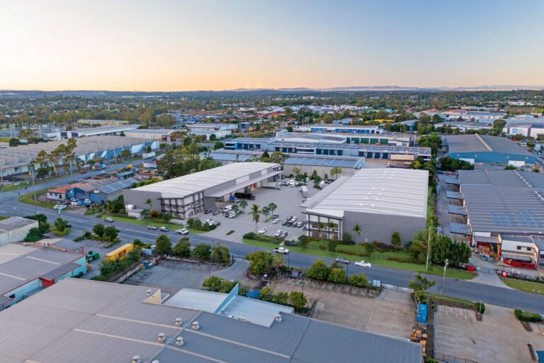 650-664 Boundary Road Richlands
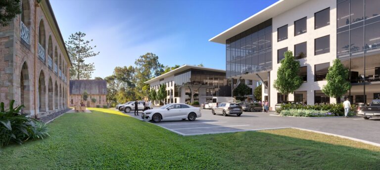 Milton Road
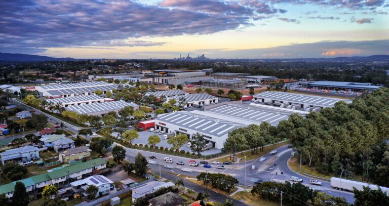 CSR Darra
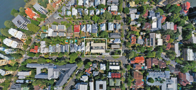 Bolton Clarke – New Farm
 Harlaxton Quarry
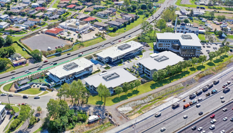 Freeway Office Park
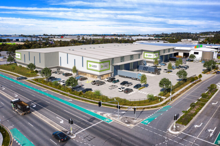 18 Macgregor Place Richlands
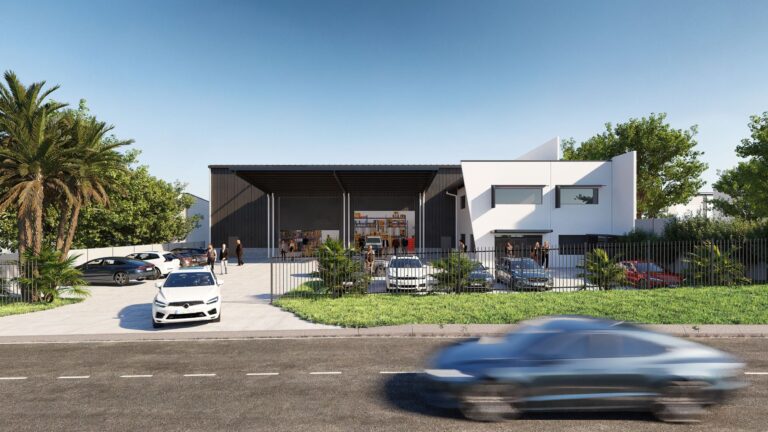 25 Silvio St Richlands
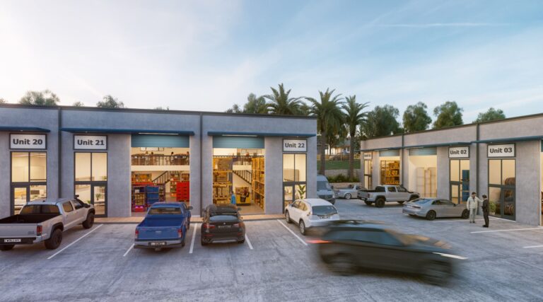 43 Bradman Street Acacia Ridge
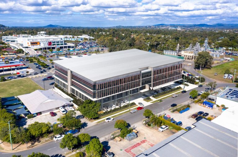 Meadowbrook Health Center
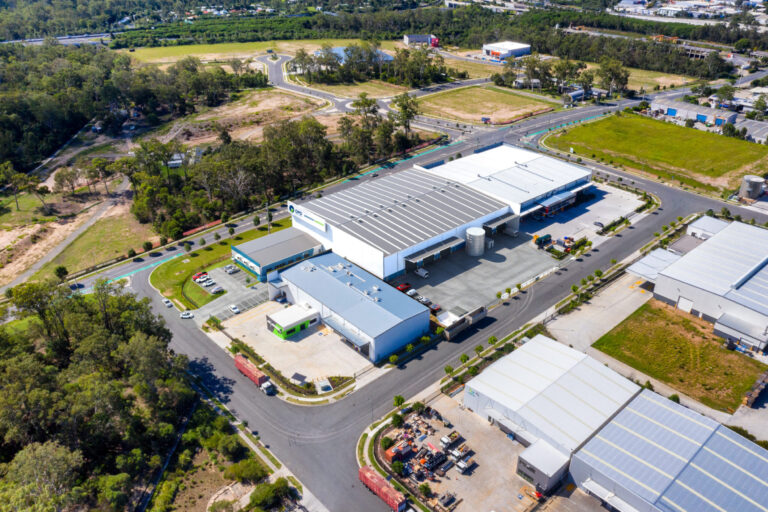 Westgate Central
 Garden City Office Park
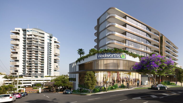 Woolworths Kangaroo Point
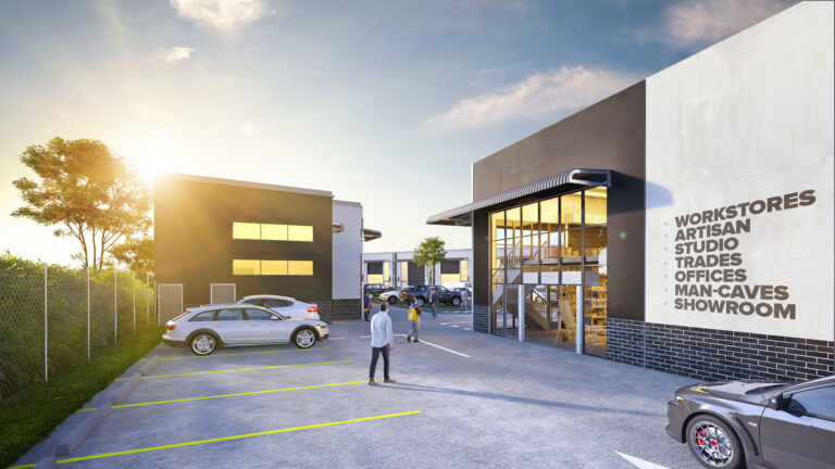 The Depot Sherwood
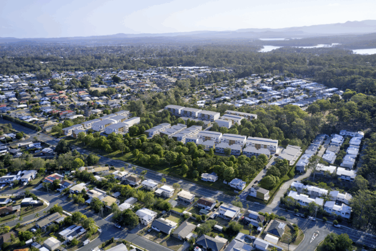 The Havyn Kallangur
No projects match that — try a suburb or project name.
 A Deep Dive On UsWhere every project starts — we look at your site, your buyers and your market, then map the path to a sale.
 ContactTalk to the team about your site, project or campaign.
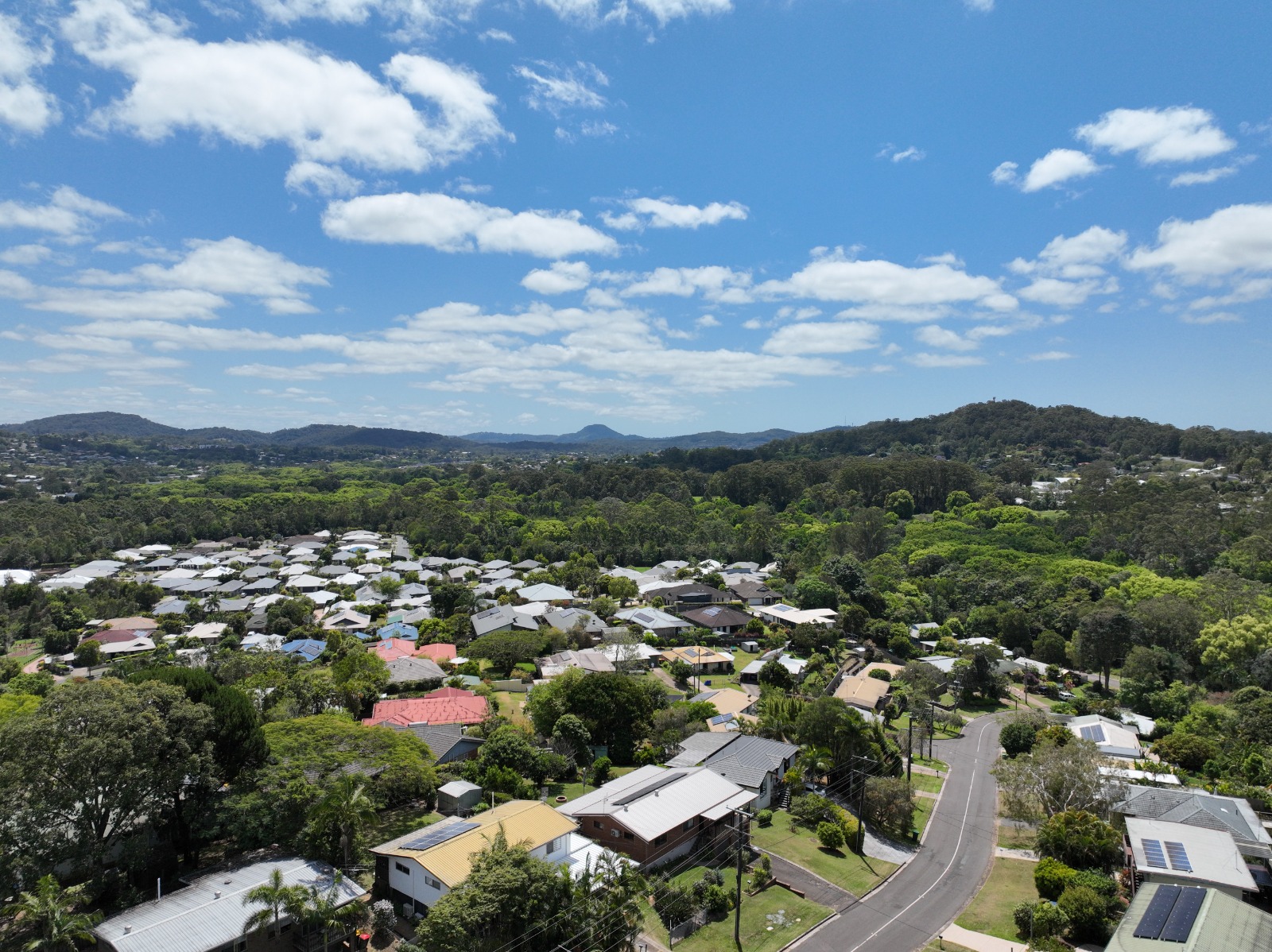
CPM combines RTK-corrected drone capture with photogrammetric processing to create high-resolution site models, compare surfaces and quantify change across civil, industrial and development projects.
We build a digital surface model from everything visible above ground, then a ground-classified terrain model beneath it. Compare one surface against another and every cell becomes a measurable height or depth against the reference.
 REFERENCE SURFACE
 CAPTURED SURFACE
Difference the captured surface against your engineer or surveyor’s design surface to quantify cut and fill and show where the variance sits.
↗Compare one capture with the next to quantify material moved during the period and support progress reporting with measured site data.
↗Measure stockpiles against the surrounding yard level using the same coordinate frame each cycle so figures remain comparable.
↗Issue the maps, models, point cloud and reports behind the quantities so project teams can check the result rather than accept one number.
↗The capture is the input. The value comes from turning consistent site data into repeatable surfaces, comparisons and reporting.
 CAPTURE
Pre-flight planning, CASA compliance, site risk assessment and RTK-corrected aerial capture over the defined work area.
 MODEL
Process imagery into an orthomosaic, digital surface model, digital terrain model and dense point cloud.
 MEASURE
Difference the current surface against ground, design or a prior capture to calculate height, depth, cut, fill or moved volume.
 REPORT
Package the analysis with georeferenced rasters, CAD-ready files, point cloud, coordinate schedules and a written report.
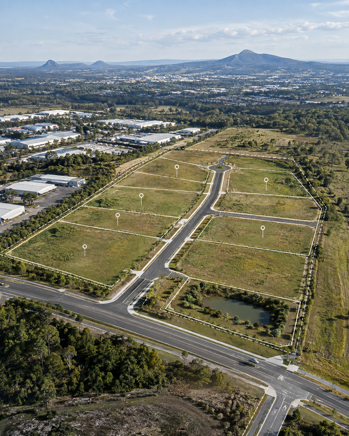
A representative photogrammetric capture can produce centimetre-scale orthomosaic and elevation data, dense point clouds and a measurable difference surface. The same surface-differencing method applies to bulk earthworks, progress tracking and stockpile measurement.
Each capture can be delivered as a practical set of mapping, modelling and analysis outputs ready for the people already working on the project.
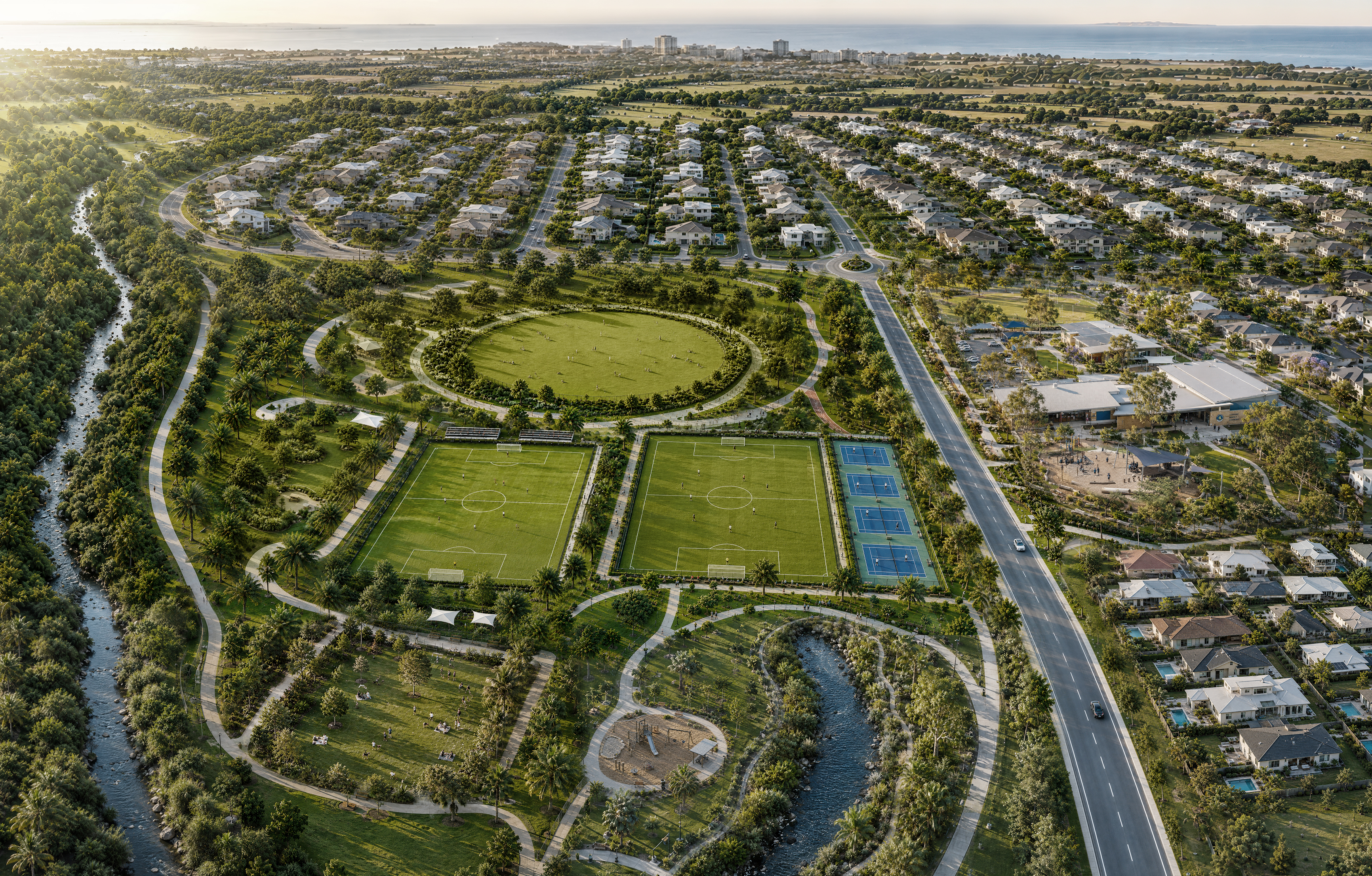
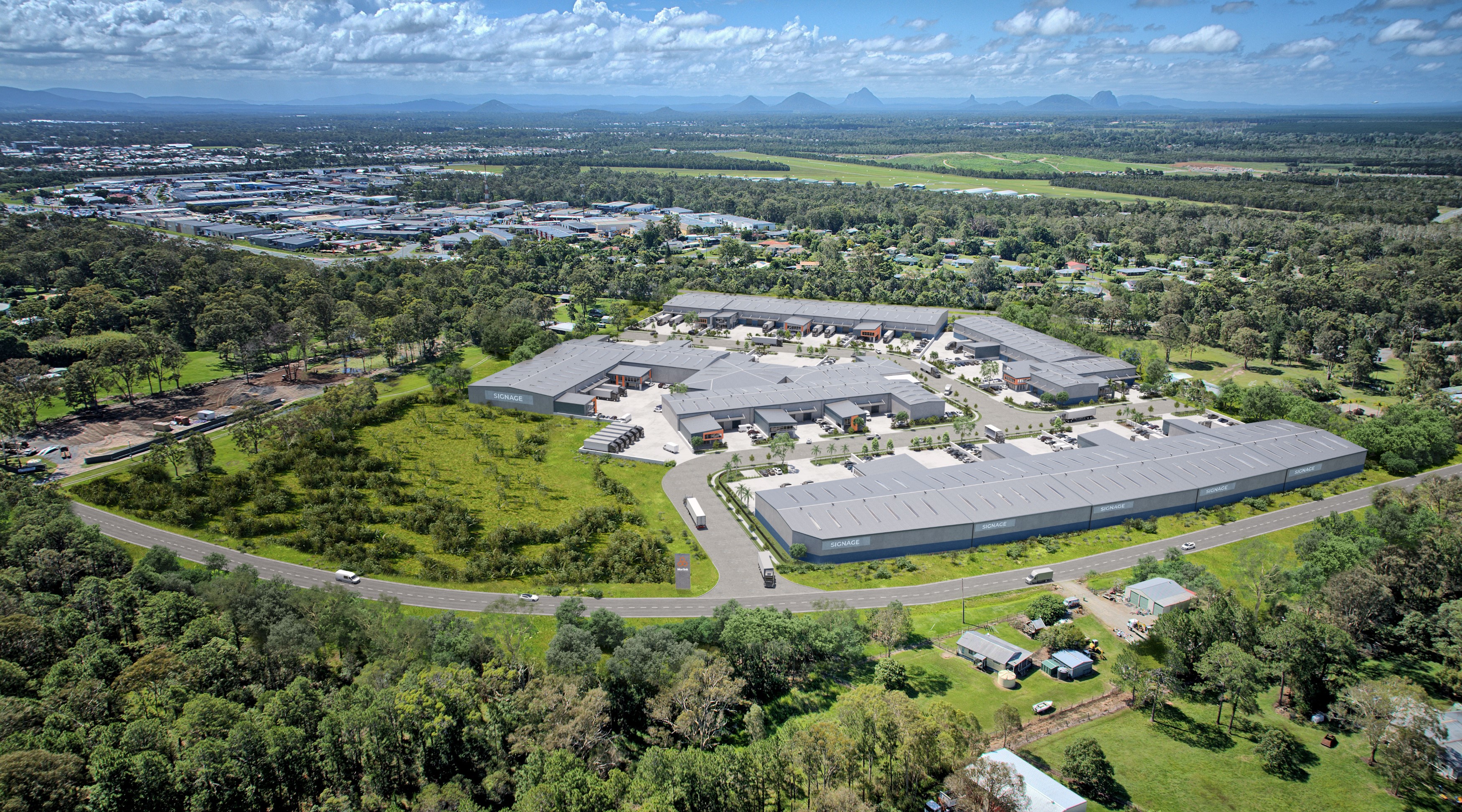
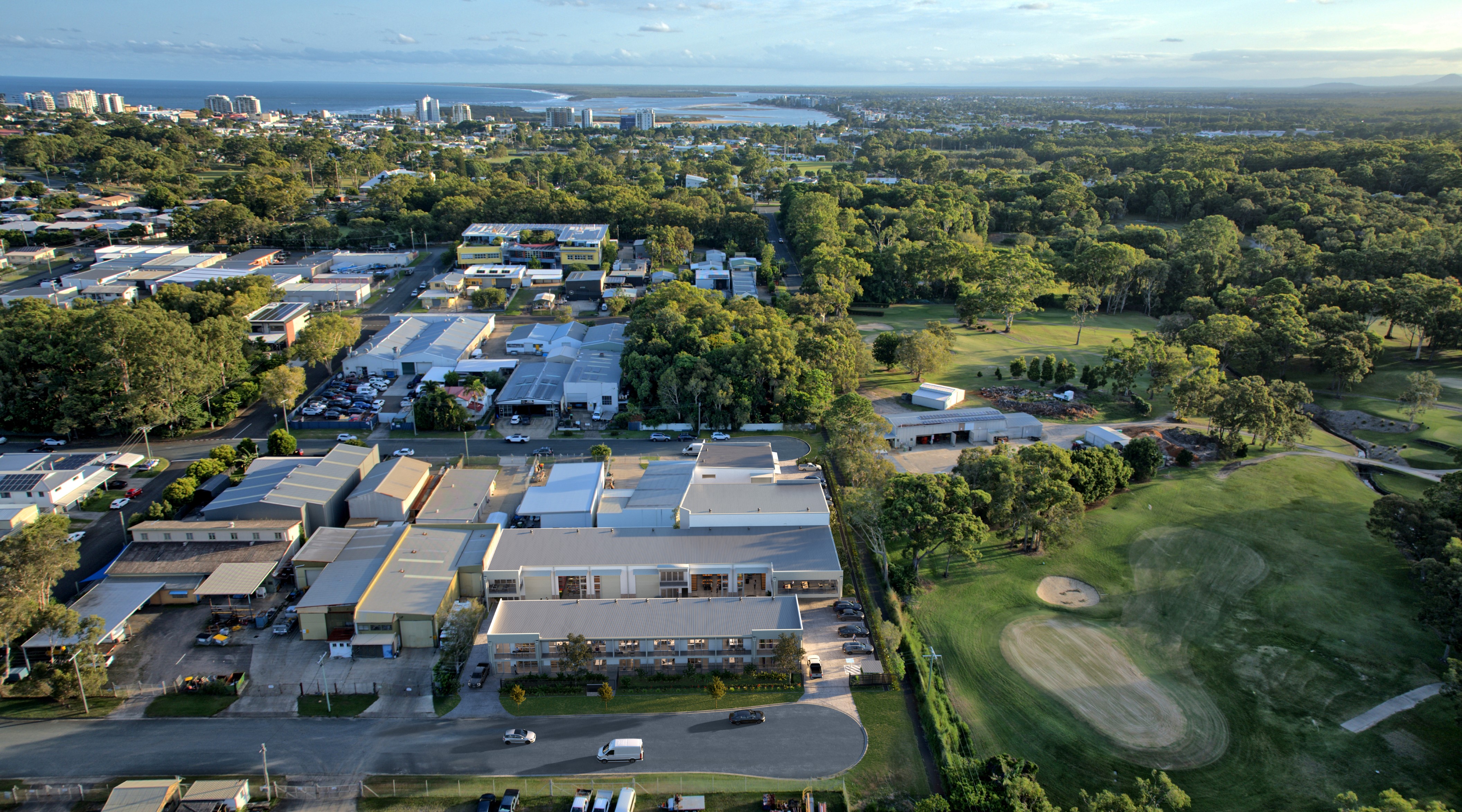
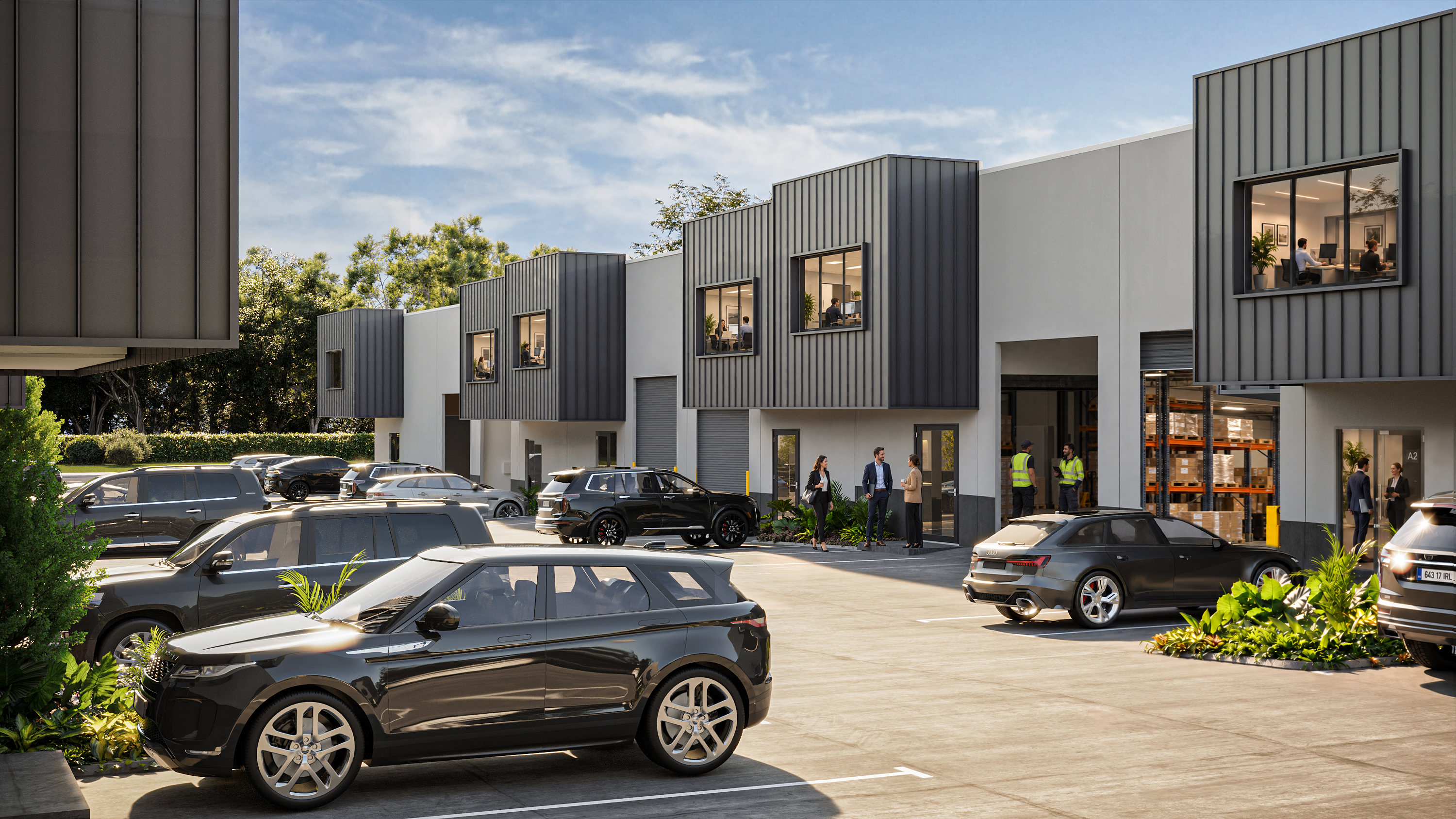
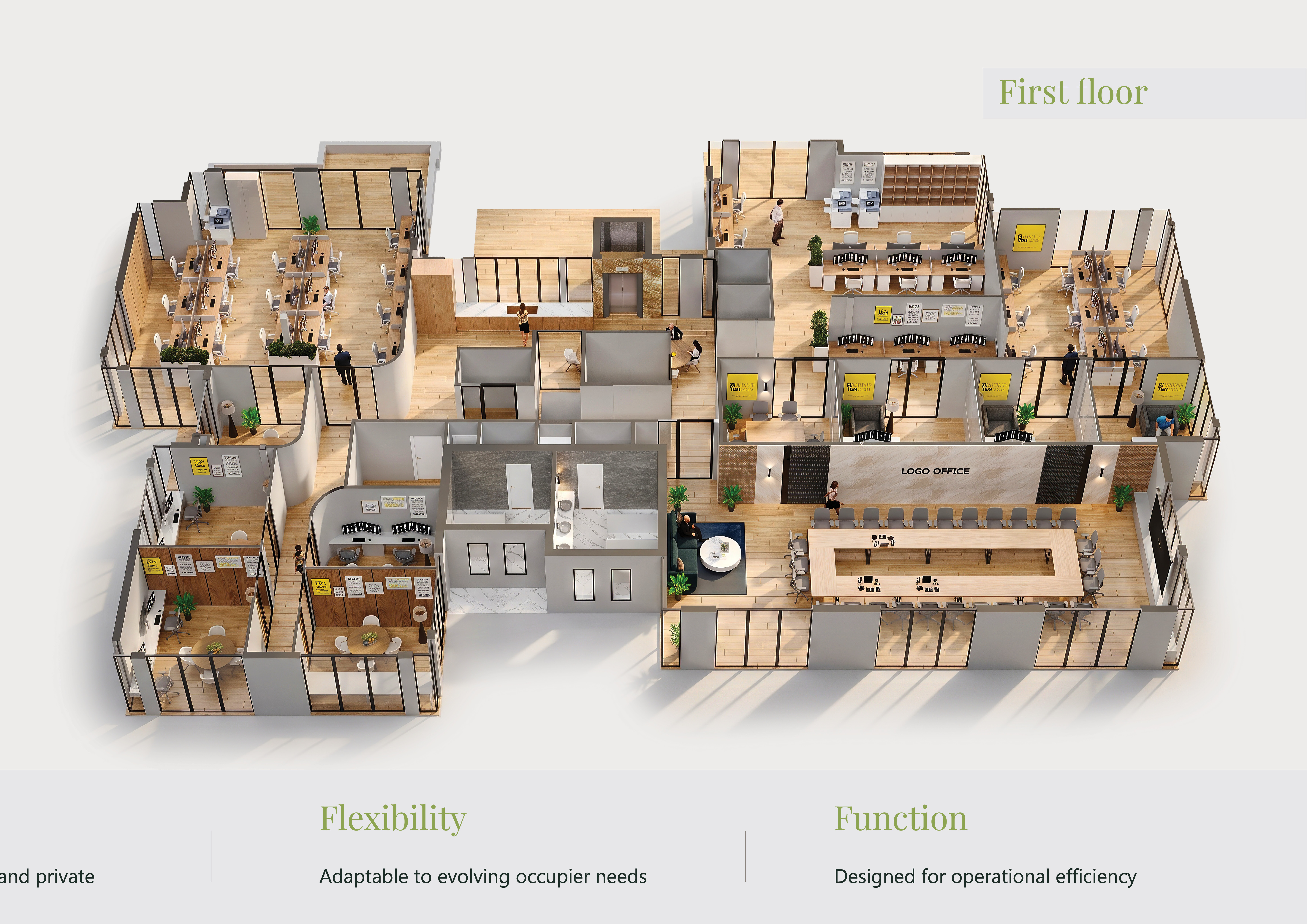
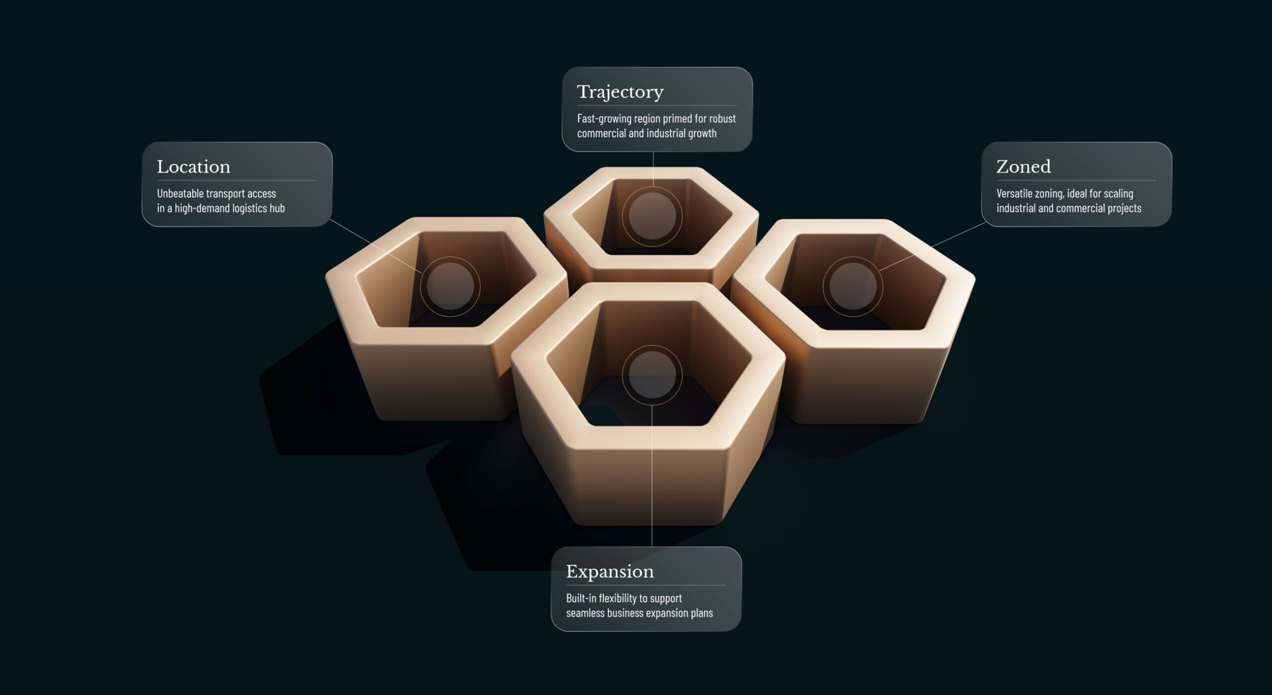

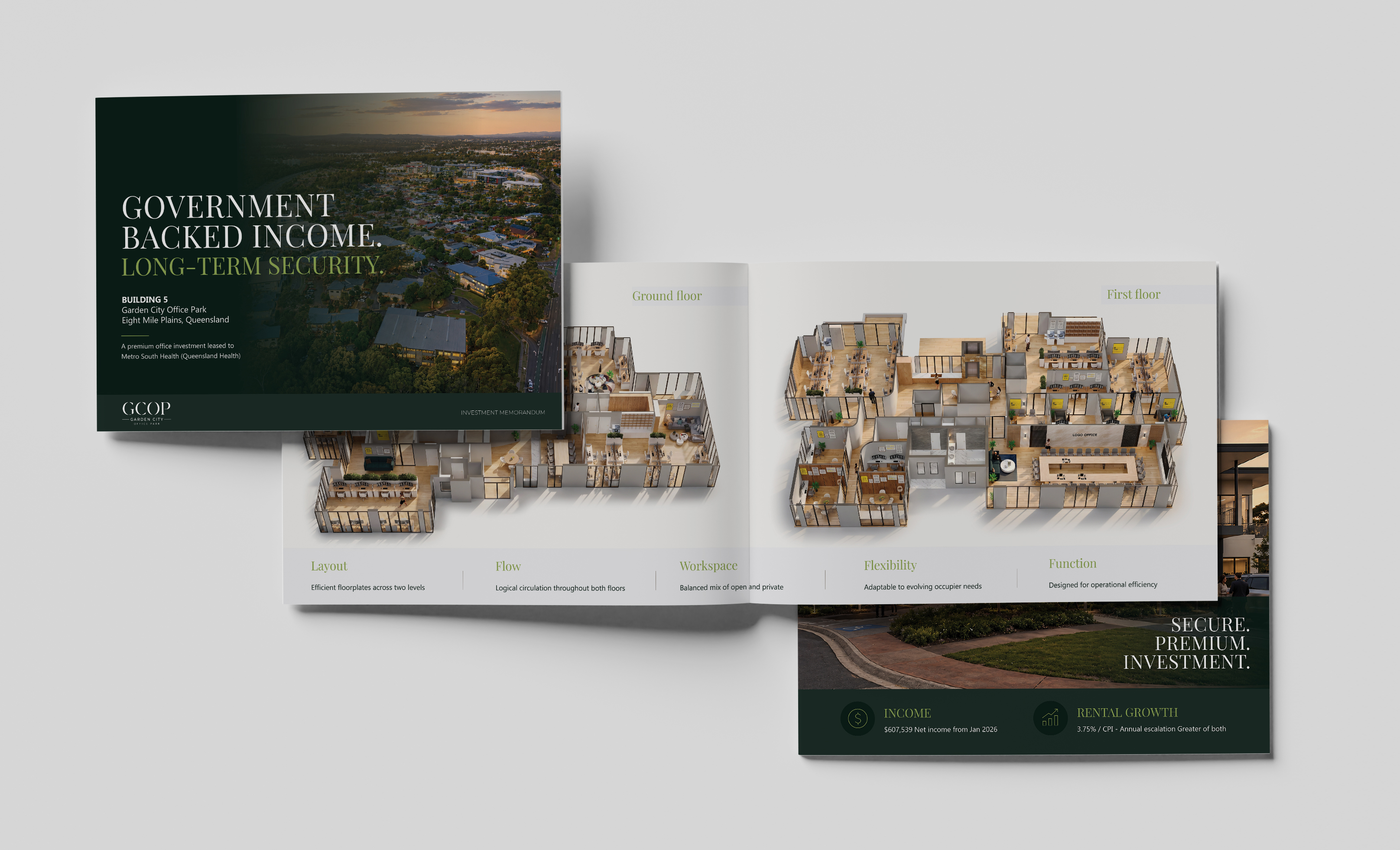
A selection of commercial and industrial property campaigns, visualisation and digital work delivered across Australia.
The workflow sits inside active development and construction projects, giving stakeholders a repeatable view of what is on site and how it is changing.
 01
Track cut, fill, moved material and stockpiles across active earthworks using measured site data.
 02
Create a consistent record of site progress and quantify movement across the life of the job.
 03
Use repeat captures and mapped variance to support reporting, claims, coordination and decisions.
 04
Receive georeferenced rasters, LandXML, CAD-ready files, point clouds and coordinate schedules in standard formats.
Rates cover capture, processing, standard deliverables and written analysis. All figures below exclude GST.
Change the reference surface and the same surface-to-surface computation can answer different questions across the job.
Cut and fill against engineer or surveyor design surfaces
↗Material moved between this capture and the last
↗Repeatable quantities against a known surrounding level
↗Document and quantify change through active works
↗Track changing surfaces across linear and staged works
↗Keep comparable data in the same coordinate frame over time
↗Design surfaces can be supplied by your engineer or surveyor and outputs returned in standard geospatial and CAD-ready formats for the project team.
Design surfaces, control and project coordinate requirements
Flight planning, RTK capture, photogrammetry, surface analysis and reporting
Mapped variance, quantities, CAD-ready data and repeatable progress records
Need cut and fill, stockpile volumes, progress comparison or a repeatable aerial record of an active project? Send us the site details, area and available design data and we’ll map out the right capture cycle.
Discuss Your Site→CPM combines site capture, spatial analysis and commercial project understanding to create data that is easier to use across active development and construction work.
 01
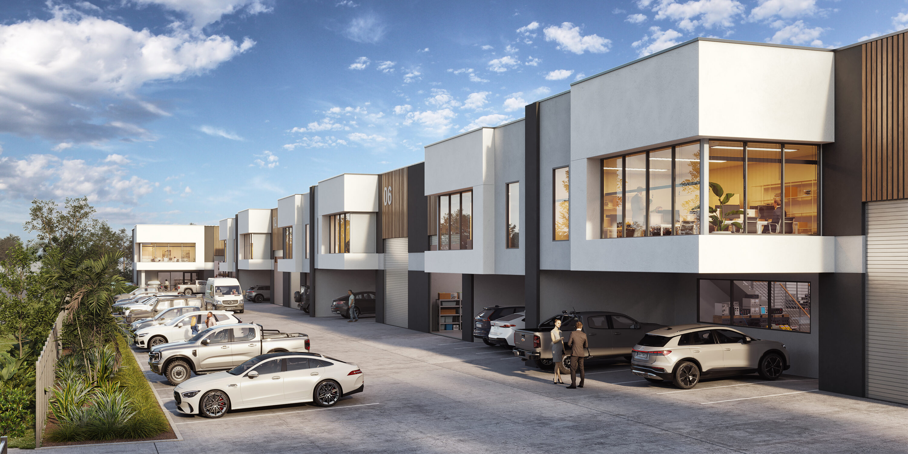
How to market industrial property in Welshpool WA, with lessons from our Second Space project at 26-28 Tomlinson Road: renders, masterplans and IMs.
READ INSIGHT →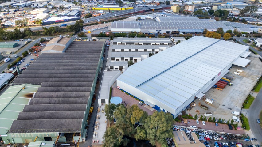 02
Street-by-street guide to Welshpool's industrial precinct: Welshpool Road, Kewdale Road, Tomlinson Road, Dowd Street, Kurnall Road and recent deals.
READ INSIGHT → 03
Welshpool industrial property in October 2026: record-low Perth vacancy, rising rents, recent sales on Kewdale Road and Welshpool Road and what comes next.
READ INSIGHT →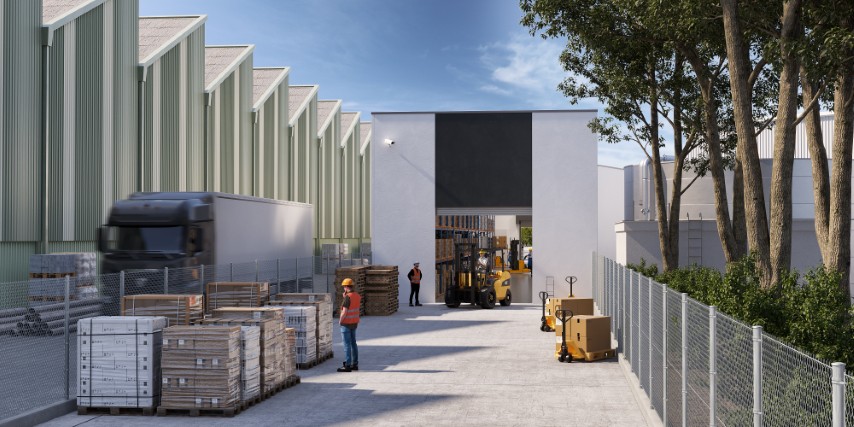 04
Looking for commercial property in Welshpool WA? What's available, what to look for, typical deals and how to compete in one of Perth's tightest…
READ INSIGHT →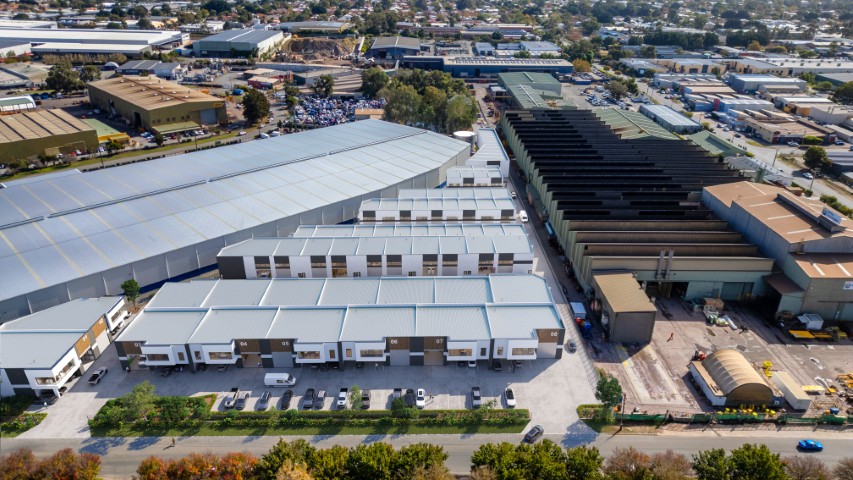 05
Welshpool WA (postcode 6106) is one of Perth's main industrial suburbs, 11 km from the CBD. Location, councils, roads, history and who operates there.
READ INSIGHT → 06
Ingenia has extended talks with Warburg Pincus over a $5.25-a-security proposal that depends on Ingenia dropping its $992.5m Peet deal. What it means.
READ INSIGHT → 07
Fife Capital has sold its redeveloped Kilsyth distribution centre, leased to DUTT Transport, to Cadence Property Group off-market for a reported $56m.
READ INSIGHT → 08
The Ochre Medical Centre in Dalby, 210 km west of Brisbane, has sold for $10.8m at a 7.3% yield. Why regional healthcare property is…
READ INSIGHT →09A freehold office and warehouse at 28-30 Northwood Street, West Leederville, drew 80+ enquiries and five offers, selling above expectations for $3.42m.
READ INSIGHT → 10
CDC Data Centres has applied for a $15bn, 1.4GW data centre campus at Gregadoo near Wagga Wagga. What regional data centres mean for land…
READ INSIGHT → 11
Redcape Hotel Group has bought Caves Coastal Bar & Bungalows at Caves Beach from Oscars Hotels for about $40m, adding to a busy year…
READ INSIGHT → 12
A 9,555 sqm Narangba manufacturing plant leased to CRH subsidiary Cubis Systems has sold for $17.4m at a sharp 4.13% yield. What drove the…
READ INSIGHT → 13
Developer George Kambitsis has bought the heritage Griffins Head Hotel on Hindmarsh Square, Adelaide, for $8.55m, next to his former RAA headquarters.
READ INSIGHT → 14
Habitat Development Group's Rivianne, 180 apartments over 18 levels on a former op shop site at 132-136 Aerodrome Road, Maroochydore, has been approved.
READ INSIGHT → 15
White Fox founders Daniel and Georgia Contos have bought 19 O'Riordan Street, Alexandria, for $87m: 1.31ha near the airport with 32,850 sqm of potential.
READ INSIGHT →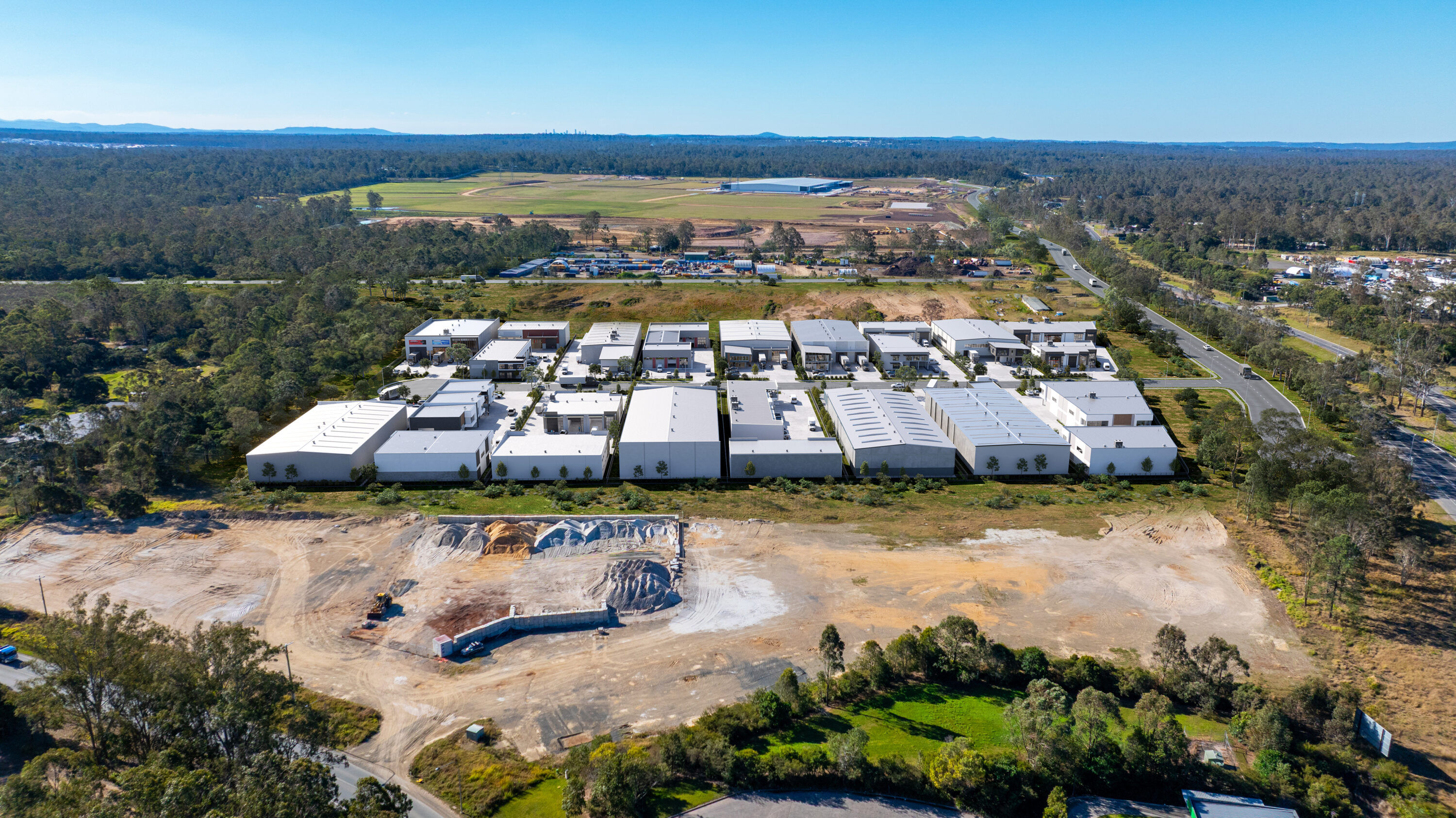 16
Amazon's $750m robotics centre, Orchard's $20.5m land deal, Boral buying in and NM ONE sold: the October 2026 North Maclean and Greater Flagstone update.
READ INSIGHT → 17
A near-new, fully leased Robina office anchored by Metricon is for sale via Colliers and CBRE, with income above $3.2m. Why Robina office is…
READ INSIGHT →18The Cricketers Arms Hotel in Cooks Hill, Newcastle, has sold off-market for more than $10m to the syndicate behind the nearby Commonwealth Hotel.
READ INSIGHT →19A 25.18ha Steve Irwin Way site at Glenview with approval for a water park, wave pool and resort has been sold by receivers. What…
READ INSIGHT → 20
South Hobart's Globe Hotel is on the market (EOIs close 22 October) after Midway Point Tavern sold for about $5.13m at a 5.85% yield.…
READ INSIGHT → 21
Kelsian is selling Kingfisher Bay Resort, K'gari Beach Resort and its tourism businesses to Journey Beyond for $145.8m. What the deal means for tourism…
READ INSIGHT →22Singapore's Centurion has agreed to buy six Adelaide CBD sites at 199-200 North Terrace from the Cointreau family for $25m, planning a $300m three-tower…
READ INSIGHT → 23
Sydney's Fifty Group has bought Canberra's Garden City Hotel ($13.7m) and the Statesman Hotel in Curtin, 137 rooms in all. What it means for…
READ INSIGHT →24QIC has sold a 50% stake in Watergardens, Taylors Lakes, to Commonwealth Superannuation Corporation for $480m, above book value. What it means for retail.
READ INSIGHT → 25
Daiken Investment Australia has bought 10 Browning Street, South Brisbane, from Forza Capital for $81m at an 8.4% yield. Fully leased, 30-storey zoning upside.
READ INSIGHT →26Symbion has sold its Kewdale, Perth distribution centre to Harmony Property Investments for $16.8m with a leaseback. Why Perth's eastern industrial belt is in…
READ INSIGHT →27Mirvac's Wholesale Office Fund has settled a $394m half stake in 5 Martin Place, Sydney, at a 5.75% yield, implying $788m. What the deal…
READ INSIGHT →28Hobart commercial property news for September 2026: industrial sales, leasing, development activity, land supply and market trends for developers and agents.
READ INSIGHT → 29
Darwin commercial property news for September 2026: industrial sales, leasing, development activity, land supply and market trends for developers and agents.
READ INSIGHT →30Canberra commercial property news for September 2026: industrial sales, leasing, development activity, land supply and market trends for developers and agents
READ INSIGHT →31Adelaide commercial property news for September 2026: industrial sales, leasing, development activity, land supply and market trends for developers and agents
READ INSIGHT →32Perth commercial property news for September 2026: industrial sales, leasing, development activity, land supply and market trends for developers and agents.
READ INSIGHT →33Melbourne commercial property news for September 2026: industrial sales, leasing, development activity, land supply and market trends for developers and agent
READ INSIGHT →34Newcastle commercial property news for September 2026: industrial sales, leasing, development activity, land supply and market trends for developers and agent
READ INSIGHT →35Sydney commercial property news for September 2026: industrial sales, leasing, development activity, land supply and market trends for developers and agents.
READ INSIGHT →36Sunshine Coast commercial property news for September 2026: industrial sales, leasing, development activity, land supply and market trends for developers and
READ INSIGHT →37Gold Coast commercial property news for September 2026: industrial sales, leasing, development activity, land supply and market trends for developers and agen
READ INSIGHT →38Brisbane commercial property news for September 2026: industrial sales, leasing, development activity, land supply and market trends for developers and agents
READ INSIGHT →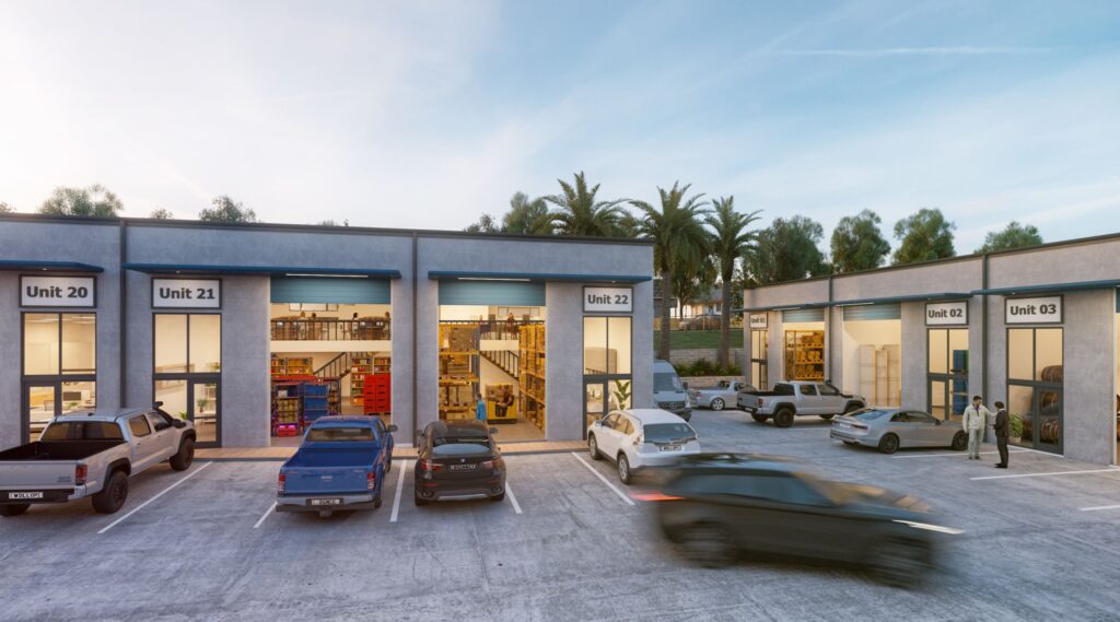 39
See the essential marketing assets for an industrial development, including positioning, branding, masterplans, renders, websites, IMs and agent collateral.
READ INSIGHT →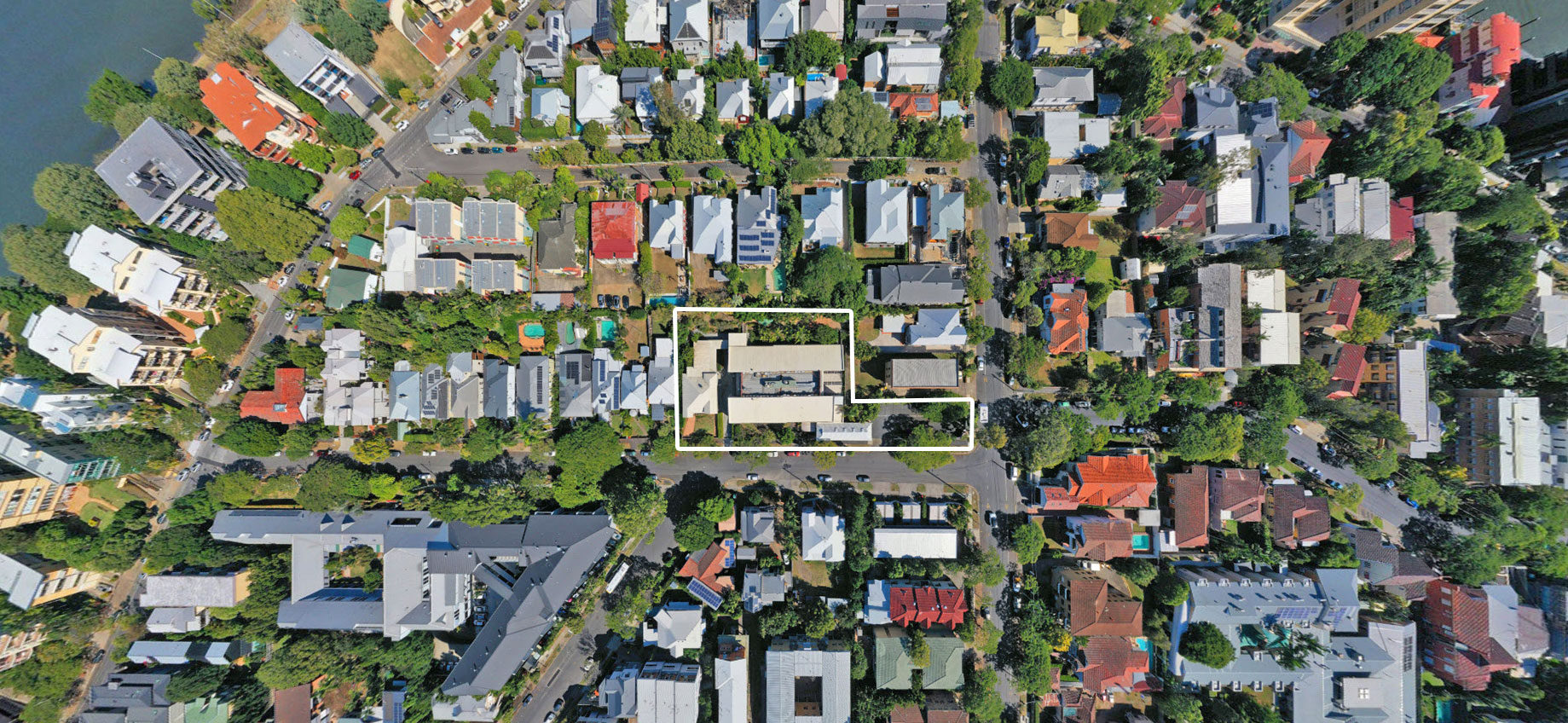 40
How Do You Market a Future Industrial Estate From an Empty Site. Practical guidance for Australian commercial property developers covering positioning,.
READ INSIGHT → 41
Can a Concept Masterplan Be Created Before Final Civil Design. Detailed guidance for Australian commercial property developers on planning, visualisation,.
READ INSIGHT →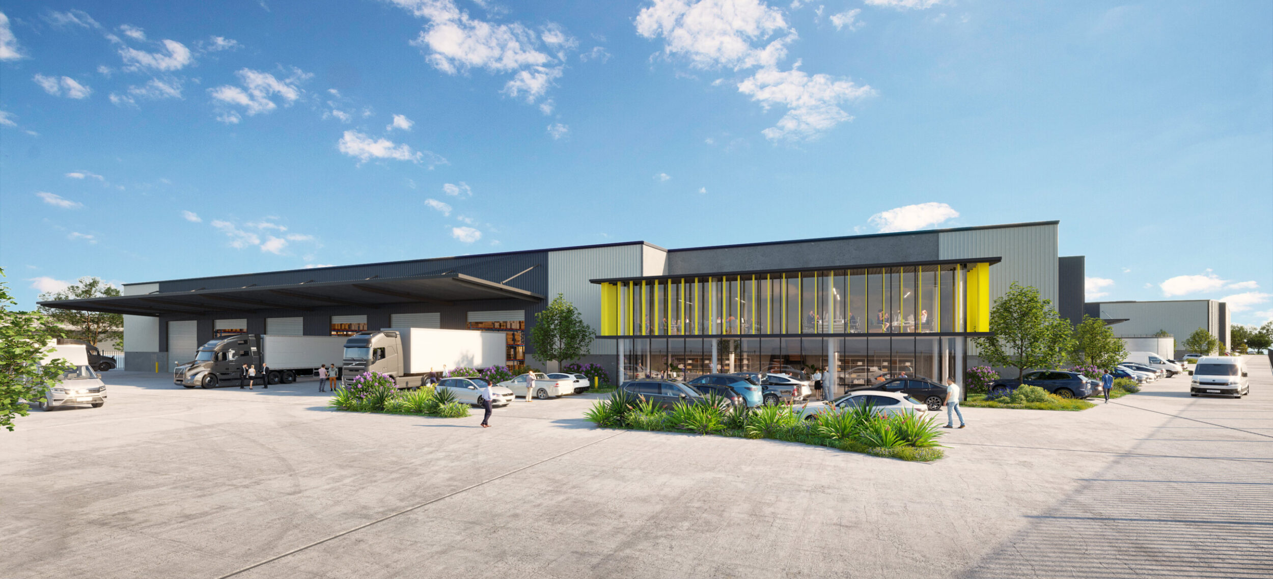 42
How Do You Pre-Lease a Warehouse Development. Practical guidance for Australian commercial property developers covering positioning, visualisation, plans,.
READ INSIGHT →43Can 3D Renders Be Produced From Architectural DA Plans. Detailed guidance for Australian commercial property developers on planning, visualisation,.
READ INSIGHT →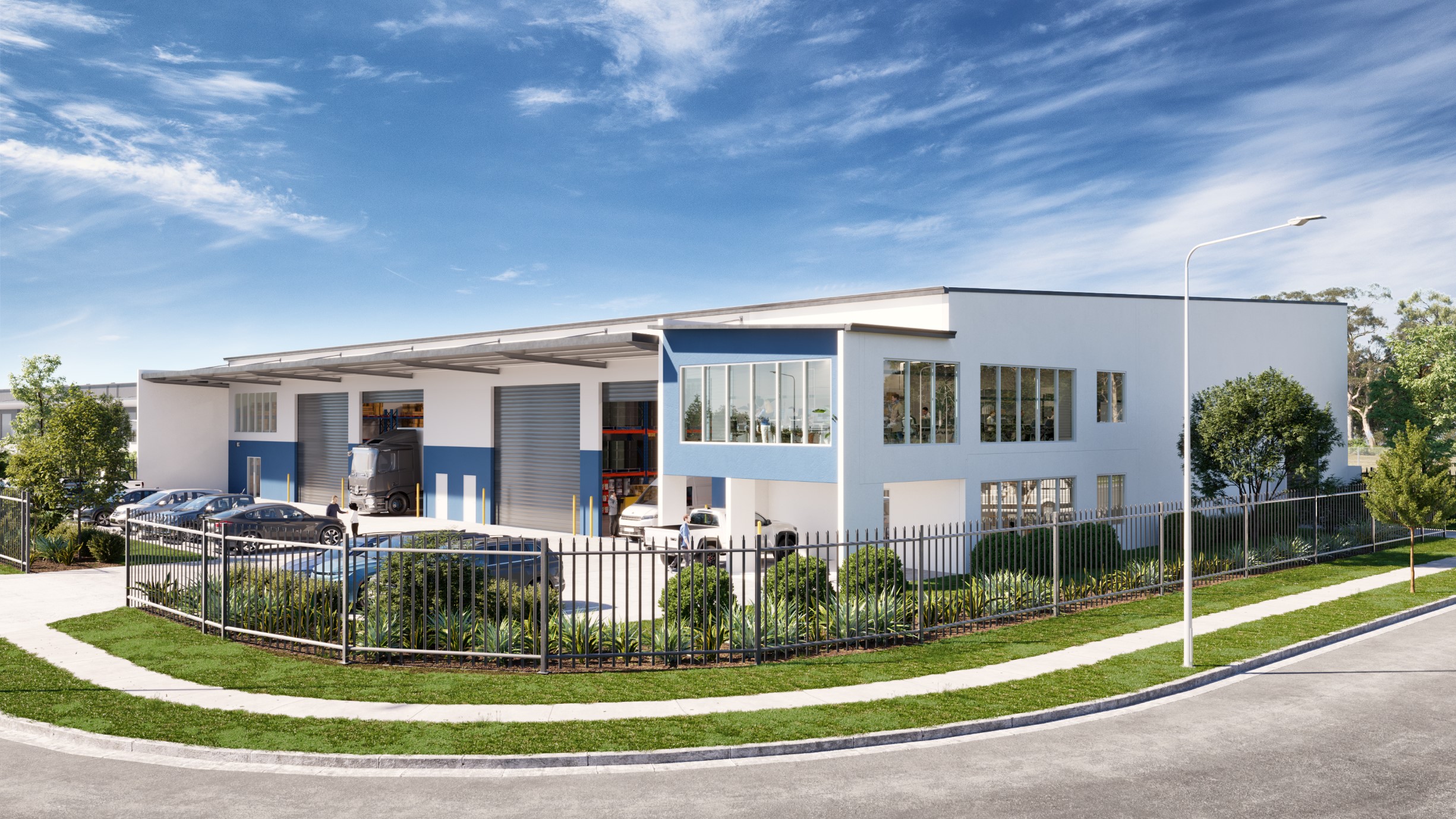 44
How Do You Show Future Buildings on Existing Drone Photography. Detailed guidance for Australian commercial property developers on planning,.
READ INSIGHT →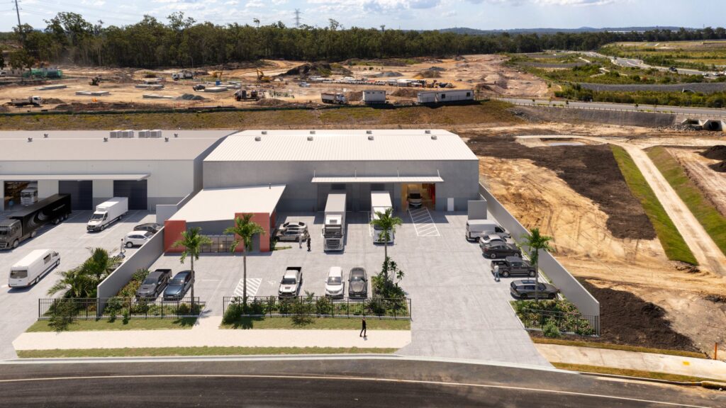 45
How Do You Increase Buyer Interest in Undeveloped Commercial Land. Practical guidance for Australian commercial property developers covering positioning,.
READ INSIGHT →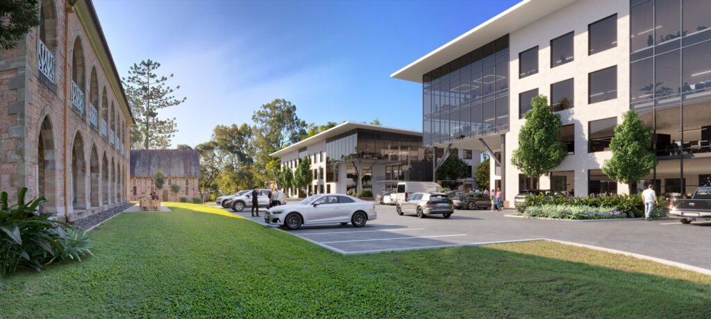 46
Can a Commercial Property Website Integrate Enquiry Forms With Agents. Detailed guidance for Australian commercial property developers on planning,.
READ INSIGHT →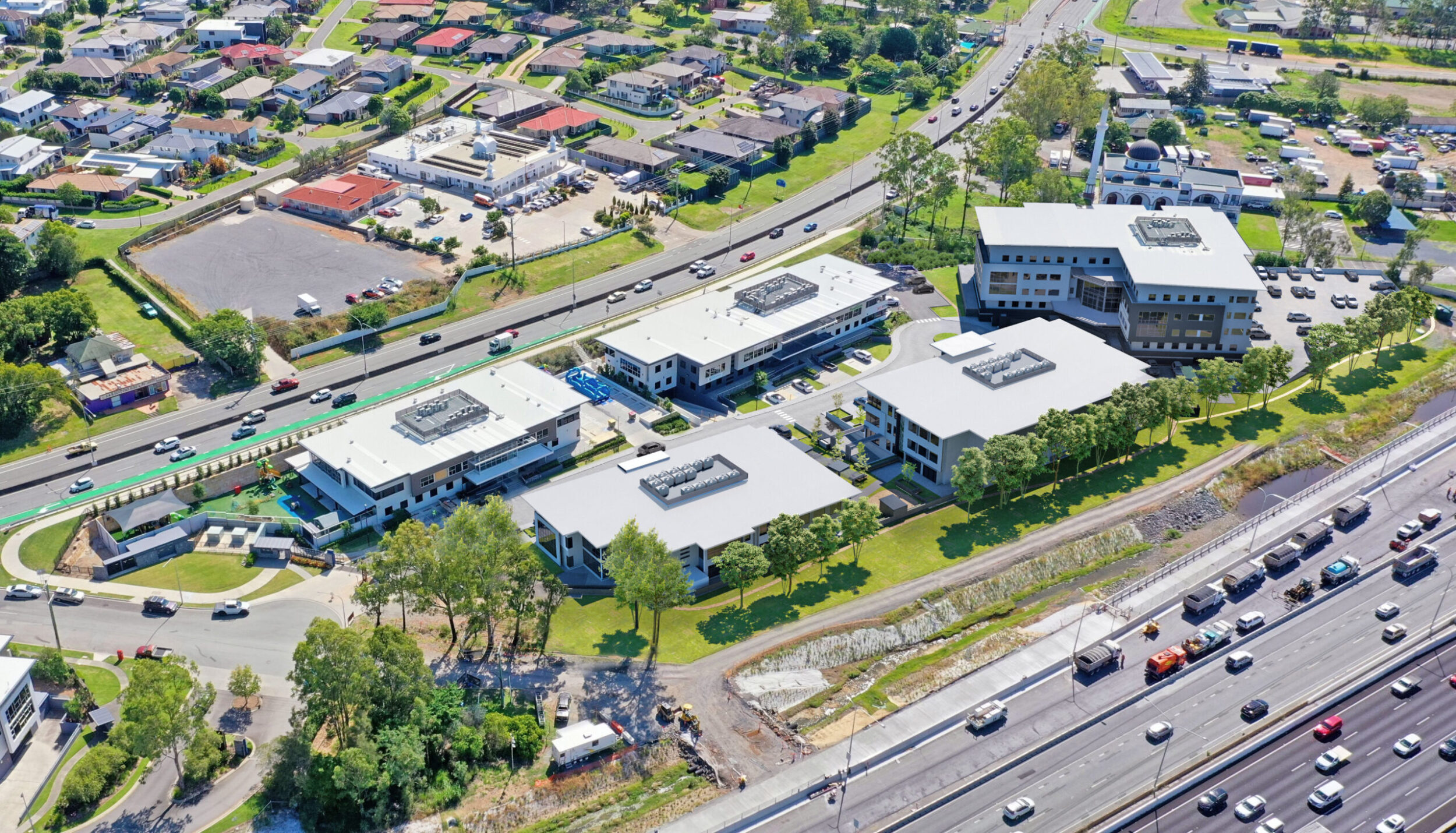 47
How Do You Market a Greenfield Commercial Development. Practical guidance for Australian commercial property developers covering positioning,.
READ INSIGHT →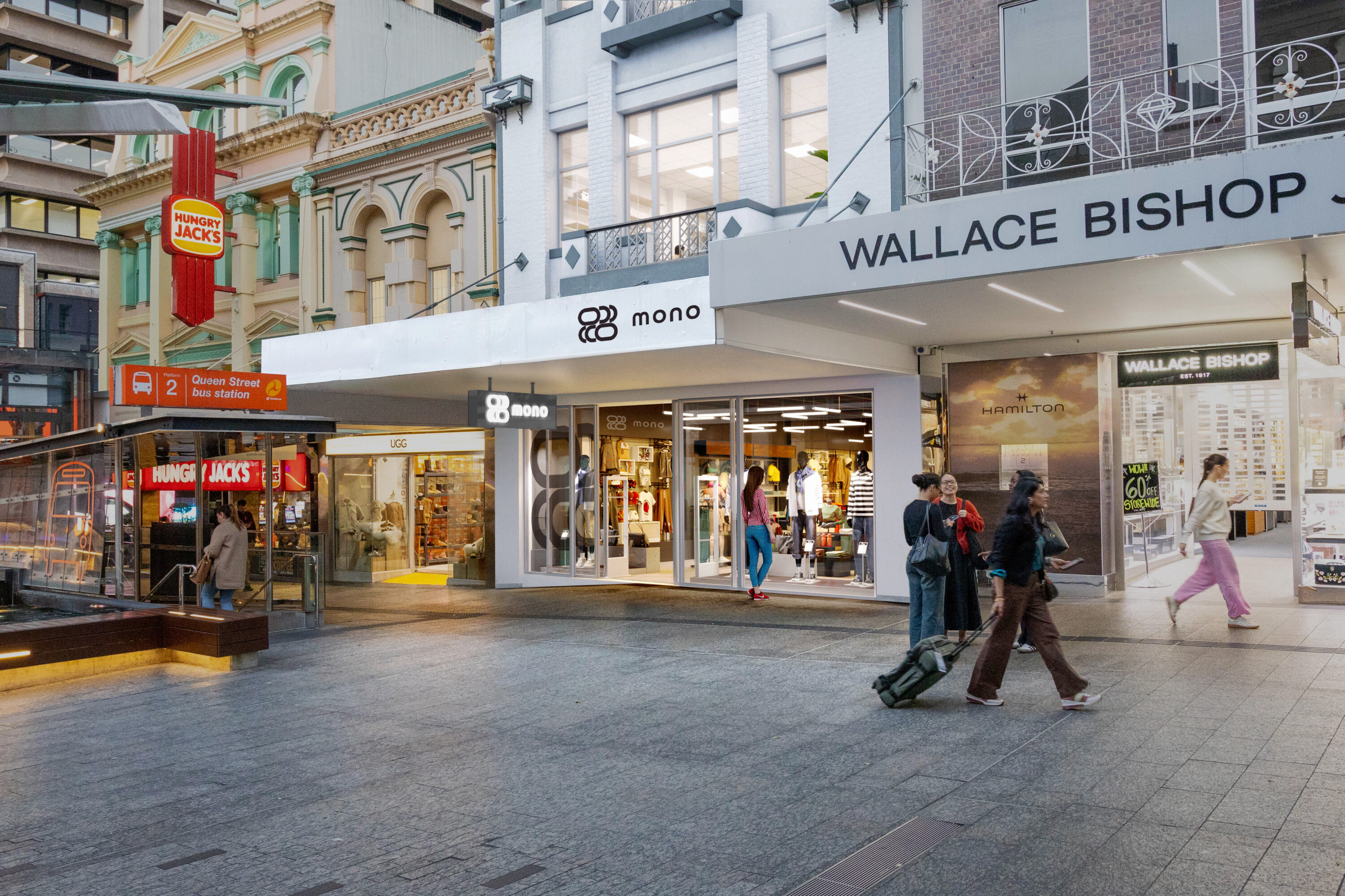 48
How Do You Market Warehouses Off the Plan. Practical guidance for Australian commercial property developers covering positioning, visualisation, plans,.
READ INSIGHT → 49
Hobart commercial property and industrial market update for August 2026, covering development, transactions, leasing and investment activity.
READ INSIGHT →50Canberra commercial property market update for August 2026, covering development activity, office, industrial property, investment and transactions.
READ INSIGHT →51Darwin commercial property and industrial market news for August 2026, covering logistics, development, land, transactions and investment activity.
READ INSIGHT →52Adelaide commercial property and industrial market news for August 2026, covering logistics, industrial land, transactions and development activity.
READ INSIGHT →53Perth commercial property and industrial market update for August 2026, covering industrial land, leasing, transactions, logistics and development.
READ INSIGHT →54Melbourne commercial property and industrial market news for August 2026, covering logistics, development, transactions, leasing and industrial property.
READ INSIGHT →55Newcastle commercial property and industrial market news for August 2026, covering development activity, industrial property, investment and leasing.
READ INSIGHT →56Sydney commercial property and industrial market news for August 2026, covering transactions, industrial development, logistics and major precinct activity.
READ INSIGHT →57Sunshine Coast commercial property and industrial market update for August 2026, covering development, industrial land, leasing and investment.
READ INSIGHT →58Gold Coast commercial property and industrial market news for August 2026, including transactions, development activity, land and investment.
READ INSIGHT →59Brisbane commercial property news and industrial market update for August 2026, covering development, leasing, transactions, industrial land and major projects.
READ INSIGHT →60How Do I Visualise a Development Application. Detailed guidance for Australian commercial property developers on planning, visualisation, campaign assets,.
READ INSIGHT → 61
August, 2026 Get the news > Australia’s defence build-up is becoming one of the country’s biggest industrial property stories Australia’s defence...
READ INSIGHT →62August, 2026 Get the news > Nearly $160 million in major industrial deals is putting Perth firmly back on the investment...
READ INSIGHT →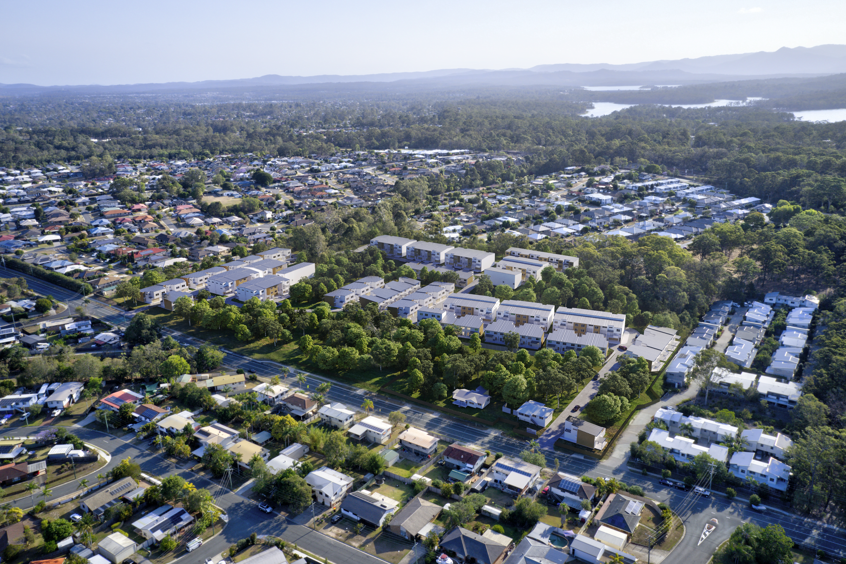 63
Learn how to pre-lease an industrial estate before completion using tenant-focused plans, renders, specifications, timing and coordinated leasing material.
READ INSIGHT →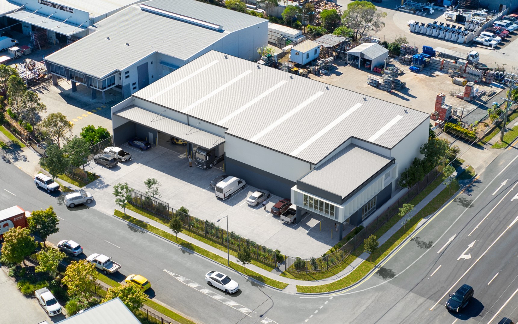 64
Aerial vs Ground-Level Renders for Commercial Property Marketing. Detailed guidance for Australian commercial property developers on planning,.
READ INSIGHT →65Can a Project Website Be Used Throughout Multiple Development Stages. Detailed guidance for Australian commercial property developers on planning,.
READ INSIGHT →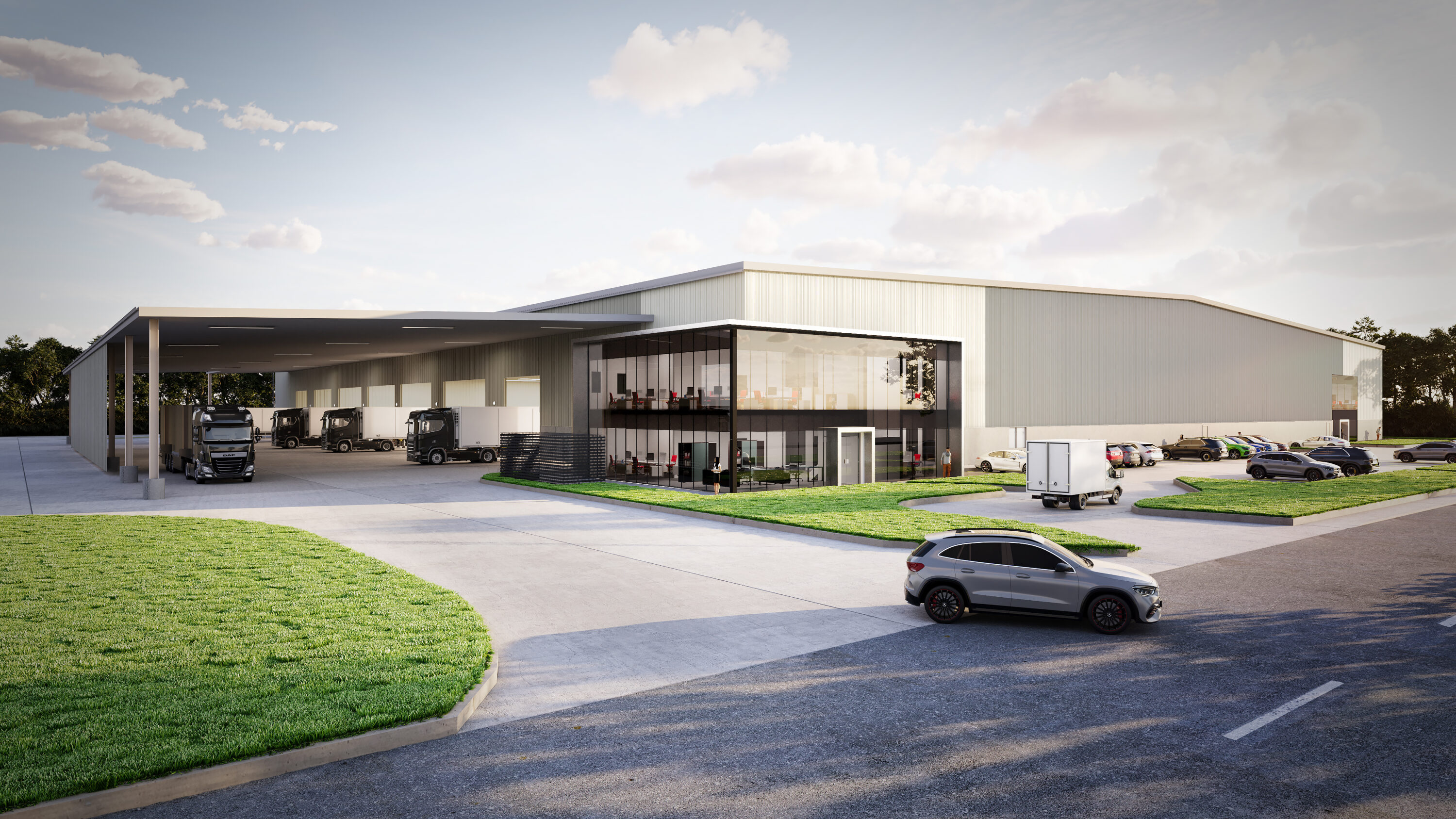 66
How Do You Generate Pre-Commitments for an Industrial Estate. Practical guidance for Australian commercial property developers covering positioning,.
READ INSIGHT →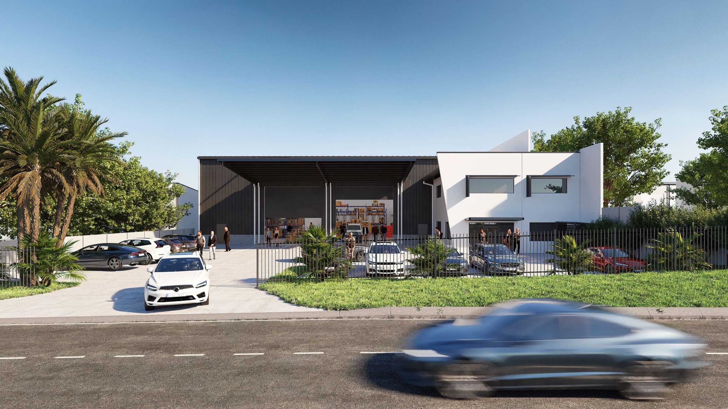 67
How Can Visualisation Help Explain a Commercial DA. Detailed guidance for Australian commercial property developers on planning, visualisation, campaign.
READ INSIGHT →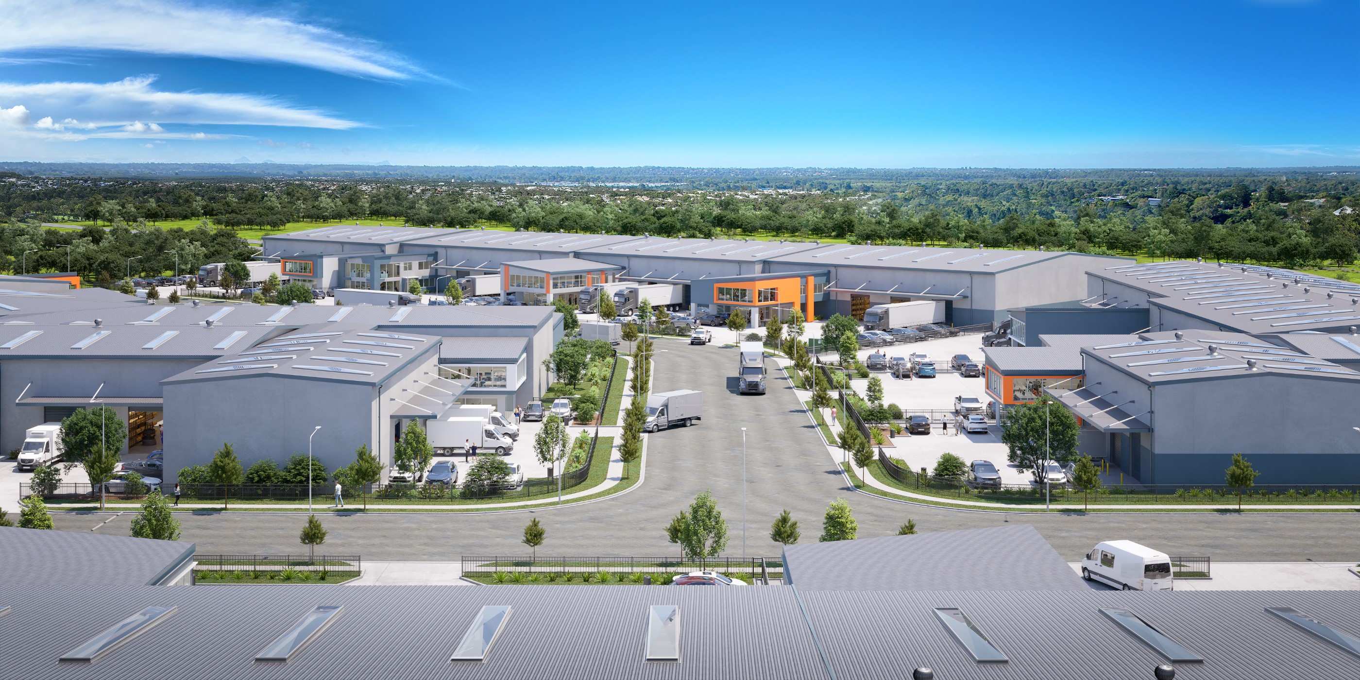 68
How Do You Present Multiple Available Units on a Property Website. Detailed guidance for Australian commercial property developers on planning,.
READ INSIGHT → 69
August, 2026 Get the news > Australia’s industrial property boom is colliding with a problem that cannot be solved quickly Australia...
READ INSIGHT → 70
August, 2026 Get the news > Australia’s next industrial boom isn’t warehouses — it’s AI space For decades, the fundamentals of...
READ INSIGHT → 71
How Do I Market Vacant Commercial Land. Practical guidance for Australian commercial property developers covering positioning, visualisation, plans,.
READ INSIGHT →72National August, 2026 Australia’s commercial property market enters FY27 with transaction activity accelerating Australia’s commercial and industrial property market entered FY2026/27...
READ INSIGHT →73Hobart August, 2026 Hobart enters FY27 with industrial property, development land and urban renewal firmly in focus Hobart’s commercial and industrial...
READ INSIGHT →74Darwin August, 2026 Darwin enters FY27 with defence, logistics and industrial investment firmly in focus Darwin’s commercial and industrial property market...
READ INSIGHT →75Canberra August, 2026 Canberra enters FY27 with government, defence and infrastructure supporting a resilient commercial market Canberra has entered the new...
READ INSIGHT →76Adelaide August, 2026 Adelaide’s commercial property market enters FY27 with defence, manufacturing and logistics driving growth Adelaide has entered the new...
READ INSIGHT → 77
Can a Property Website Show Sold, Leased and Available Units. Detailed guidance for Australian commercial property developers on planning, visualisation,.
READ INSIGHT →78Perth August, 2026 Perth has entered the new financial year as one of Australia’s strongest performing commercial property markets, with industrial...
READ INSIGHT →79Newcastle August, 2026 Newcastle has entered the new financial year with growing confidence across commercial, industrial and logistics property. Once recognised...
READ INSIGHT →80Melbourne August, 2026 Melbourne has entered FY2026/27 with renewed confidence across industrial, logistics and commercial property, as investors return to the...
READ INSIGHT →81Sydney August, 2026 Sydney has entered the new financial year with improving confidence across commercial and industrial property, supported by stronger...
READ INSIGHT →82Sunshine Coast August, 2026 The Sunshine Coast has started the new financial year with continued confidence across commercial and industrial property,...
READ INSIGHT →83Gold Coast August, 2026 The Gold Coast has entered the new financial year with strong momentum across industrial, commercial and mixed-use...
READ INSIGHT →84Brisbane August, 2026 Brisbane’s commercial property market starts FY27 with confidence After an exceptionally active end to the financial year, Brisbane...
READ INSIGHT →85How Can 3D Renders Help Pre-Lease Industrial Property. Practical guidance for Australian commercial property developers covering positioning,.
READ INSIGHT →86How Do You Capture Leads From a Commercial Development Website. Detailed guidance for Australian commercial property developers on planning,.
READ INSIGHT → 87
How Do You Market a Commercial Subdivision. Practical guidance for Australian commercial property developers covering positioning, visualisation, plans,.
READ INSIGHT → 88
How Can a Masterplan Help Sell Industrial Land. Detailed guidance for Australian commercial property developers on planning, visualisation, campaign.
READ INSIGHT →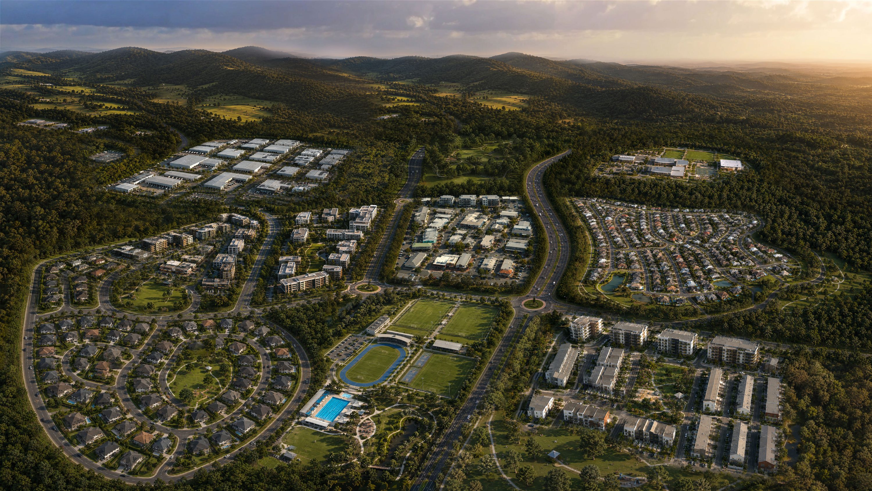 89
What Marketing Can Be Prepared While a DA Is Being Assessed. Detailed guidance for Australian commercial property developers on planning, visualisation,.
READ INSIGHT →90Who Can Create Renders From My DA Drawings. Detailed guidance for Australian commercial property developers on planning, visualisation, campaign assets,.
READ INSIGHT → 91
How Do You Bring Vacant Industrial Land to Life for Buyers. Practical guidance for Australian commercial property developers covering positioning,.
READ INSIGHT →92Should I Use Aerial Renders to Market an Industrial Estate. Detailed guidance for Australian commercial property developers on planning, visualisation,.
READ INSIGHT →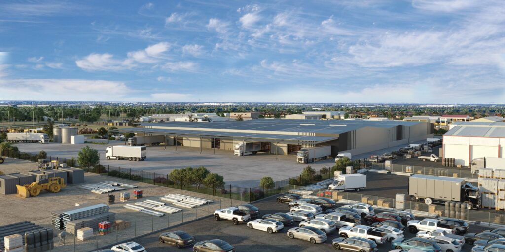 93
Sell industrial units before construction by reducing buyer uncertainty with clear plans, 3D renders, specifications, project timing and strong sales material.
READ INSIGHT →94How Do You Show a Proposed Development on an Existing Site. Detailed guidance for Australian commercial property developers on planning, visualisation,.
READ INSIGHT → 95
How Early Can You Start Marketing a Warehouse Development. Practical guidance for Australian commercial property developers covering positioning,.
READ INSIGHT →96How Do You Generate Enquiries for a New Industrial Development. Practical guidance for Australian commercial property developers covering positioning,.
READ INSIGHT → 97
Brisbane July, 2026 June 2026 marked a strong finish to the financial year for Brisbane’s commercial and industrial property market, with...
READ INSIGHT →98How Do Developers Use CGI to Sell Property Before Construction. Detailed guidance for Australian commercial property developers on planning,.
READ INSIGHT → 99
How Do You Combine a Masterplan With 3D Renders. Detailed guidance for Australian commercial property developers on planning, visualisation, campaign.
READ INSIGHT → 100
How Do You Create 3D Renders From Architectural Drawings. Detailed guidance for Australian commercial property developers on planning, visualisation,.
READ INSIGHT → 101
How Early in the Planning Process Can Commercial Property Marketing Begin. Detailed guidance for Australian commercial property developers on planning,.
READ INSIGHT → 102
How Do You Show Future Landscaping, Roads and Infrastructure in a Render. Detailed guidance for Australian commercial property developers on planning,.
READ INSIGHT →103How Do You Launch a New Business Park. Practical guidance for Australian commercial property developers covering positioning, visualisation, plans,.
READ INSIGHT → 104
How Do You Build a Website for an Industrial Estate. Detailed guidance for Australian commercial property developers on planning, visualisation, campaign.
READ INSIGHT → 105
What Marketing Assets Do I Need to Sell Industrial Land. Practical guidance for Australian commercial property developers covering positioning,.
READ INSIGHT → 106
How Can a Masterplan Help Sell Commercial Land. Practical guidance for Australian commercial property developers covering positioning, visualisation,.
READ INSIGHT → 107
Brisbane June, 2026 Brisbane Trade Coast industrial market update 2026: Why Pinkenba, Eagle Farm and the Trade Coast remain among Australia’s...
READ INSIGHT →108What Should Happen After a Commercial Development Gets DA Approval. Detailed guidance for Australian commercial property developers on planning,.
READ INSIGHT →109Learn how to market warehouse units off the plan using clear plans, 3D renders, specifications, comparisons, websites and buyer-focused sales material.
READ INSIGHT → 110
Yatala June, 2026 Yatala has been one of South East Queensland’s strongest industrial performers for more than a decade, but 2026...
READ INSIGHT → 111
How Do You Pre-Sell Commercial Property Before Construction. Practical guidance for Australian commercial property developers covering positioning,.
READ INSIGHT →112How Do You Use a Project Website to Support Pre-Leasing. Detailed guidance for Australian commercial property developers on planning, visualisation,.
READ INSIGHT → 113
How Do You Build Buyer Confidence Before a Development Exists. Practical guidance for Australian commercial property developers covering positioning,.
READ INSIGHT → 114
Can Existing Drone Photography Be Used for Development Visualisation. Detailed guidance for Australian commercial property developers on planning,.
READ INSIGHT → 115
Gold Coast , Market Updates June, 2026 North Maclean is no longer simply a future employment area shown on planning maps....
READ INSIGHT →116Can a Commercial Property Website Connect to a CRM. Detailed guidance for Australian commercial property developers on planning, visualisation, campaign.
READ INSIGHT →117Can a Development Website Generate PDF Brochures. Detailed guidance for Australian commercial property developers on planning, visualisation, campaign.
READ INSIGHT → 118
Melbourne June, 2026 Melbourne’s commercial and industrial property market continued showing strong underlying fundamentals throughout May 2026, despite ongoing pressures around...
READ INSIGHT → 119
Sydney June, 2026 Sydney’s commercial and industrial property market continued demonstrating remarkable resilience throughout May 2026, with industrial assets remaining among...
READ INSIGHT → 120
Brisbane June, 2026 Brisbane’s commercial and industrial property market continued building momentum throughout May 2026, with improving confidence, strong occupier demand...
READ INSIGHT → 121
What 3D Renders Does an Industrial Development Need. Detailed guidance for Australian commercial property developers on planning, visualisation, campaign.
READ INSIGHT →122How Do You Market a Brownfield Redevelopment Site. Practical guidance for Australian commercial property developers covering positioning, visualisation,.
READ INSIGHT → 123
How Do I Turn a DA-Approved Site Into a Marketable Development. Practical guidance for Australian commercial property developers covering positioning,.
READ INSIGHT → 124
Do Industrial Estates Need Their Own Project Website. Detailed guidance for Australian commercial property developers on planning, visualisation, campaign.
READ INSIGHT → 125
How Do You Market a Small Warehouse Estate. Practical guidance for Australian commercial property developers covering positioning, visualisation, plans,.
READ INSIGHT →126What Should an Industrial Development Website Include. Detailed guidance for Australian commercial property developers on planning, visualisation,.
READ INSIGHT → 127
How Do I Market Industrial Lots Before Titles Are Issued. Practical guidance for Australian commercial property developers covering positioning,.
READ INSIGHT →128Who Can Create Commercial Property Renders in Australia. Detailed guidance for Australian commercial property developers on planning, visualisation,.
READ INSIGHT →129How Do You Show Available Lots on an Industrial Masterplan. Detailed guidance for Australian commercial property developers on planning, visualisation,.
READ INSIGHT → 130
Can You Create a 3D Render From a PDF Site Plan. Detailed guidance for Australian commercial property developers on planning, visualisation, campaign.
READ INSIGHT →131How Do You Position a New Industrial Estate Against Competing Projects. Practical guidance for Australian commercial property developers covering.
READ INSIGHT → 132
Hobart May, 2026 Hobart’s commercial and industrial market continued showing stable demand throughout April 2026, with limited industrial stock continuing to...
READ INSIGHT → 133
Sunshine Coast May, 2026 The Sunshine Coast commercial and industrial market continued building strong momentum throughout April 2026, with demand increasing...
READ INSIGHT → 134
Brisbane May, 2026 Brisbane’s industrial market continued gaining momentum throughout April 2026, with occupier demand remaining extremely strong across key logistics...
READ INSIGHT → 135
Gold Coast May, 2026 The Gold Coast industrial market continued showing strong momentum throughout April 2026, with demand remaining high across...
READ INSIGHT → 136
Market Updates May, 2026 Newcastle’s commercial and industrial market continued showing strong momentum throughout April 2026, with increasing demand driven by...
READ INSIGHT → 137
Market Updates May, 2026 Sydney’s industrial market continued operating under extremely tight supply conditions throughout April 2026, with demand still significantly...
READ INSIGHT → 138
Melbourne May, 2026 Melbourne’s industrial market continued showing strong underlying demand throughout April 2026, with occupier activity remaining highly active across...
READ INSIGHT → 139
Darwin May, 2026 Darwin’s industrial market continued showing stable activity throughout April 2026, with demand largely driven by logistics, defence, infrastructure...
READ INSIGHT → 140
Market Updates May, 2026 Adelaide’s industrial property market continued strengthening throughout April 2026, with vacancy remaining low across many of the...
READ INSIGHT → 141
Perth May, 2026 Perth’s industrial market continued showing exceptional strength throughout April 2026, with demand remaining well ahead of available supply...
READ INSIGHT → 142
Market Updates January, 2026 Interest rates continue to shape almost every part of the commercial property market. Whether rates move up,...
READ INSIGHT → 143
Market Updates January, 2026 Negative gearing has long played a major role in Australian property investment behaviour, but most public discussion...
READ INSIGHT →144Learn how to launch an industrial development with the right positioning, visuals, website, IM, agent material and pre-launch preparation.
READ INSIGHT → 145
Who Can Handle the Entire Marketing Campaign for an Industrial Estate. Practical guidance for Australian commercial property developers covering.
READ INSIGHT →146How Do You Turn DA Drawings Into Marketing Material. Detailed guidance for Australian commercial property developers on planning, visualisation, campaign.
READ INSIGHT →147What Marketing Is Needed for a Commercial Pre-Leasing Campaign. Practical guidance for Australian commercial property developers covering positioning,.
READ INSIGHT → 148
Site potential & missed opportunities April, 2026 A lot of commercial sites don’t fail because there’s no demand — they fail...
READ INSIGHT → 149
Sales & Leasing April, 2026 When a commercial site sits, it’s rarely because of price alone. In most cases, it’s a...
READ INSIGHT → 150
Sales & Leasing April, 2026 Most sites aren’t limited by zoning, access, or location — they’re limited by how early decisions...
READ INSIGHT → 151
Sales & Leasing April, 2026 Most commercial land listings are doing the bare minimum — size, zoning, frontage, and a few...
READ INSIGHT → 152
How Can Renders Support a Leasing Campaign. Detailed guidance for Australian commercial property developers on planning, visualisation, campaign assets,.
READ INSIGHT →153Can Renders Be Updated When the Building Design Changes. Detailed guidance for Australian commercial property developers on planning, visualisation,.
READ INSIGHT →154Can a Development Website Change as the Project Is Built. Detailed guidance for Australian commercial property developers on planning, visualisation,.
READ INSIGHT → 155
Should a Commercial Development Have a Separate Website From the Developer. Detailed guidance for Australian commercial property developers on planning,.
READ INSIGHT → 156
How Many Renders Does a Commercial Development Need. Detailed guidance for Australian commercial property developers on planning, visualisation, campaign.
READ INSIGHT →157How Do I Sell Industrial Land Before Construction. Practical guidance for Australian commercial property developers covering positioning, visualisation,.
READ INSIGHT → 158
What Should Be Included in an Industrial Estate Masterplan. Detailed guidance for Australian commercial property developers on planning, visualisation,.
READ INSIGHT → 159
Sales & Leasing April, 2026 Leasing commercial property quickly is not about increasing exposure — it’s about removing friction. Tenants move...
READ INSIGHT → 160
Sales & Leasing April, 2026 Selling industrial units off the plan allows you to generate demand, secure buyers, and de-risk a...
READ INSIGHT → 161
Sales & Leasing April, 2026 Pre-leasing is one of the most effective ways to reduce risk and accelerate a development, but...
READ INSIGHT →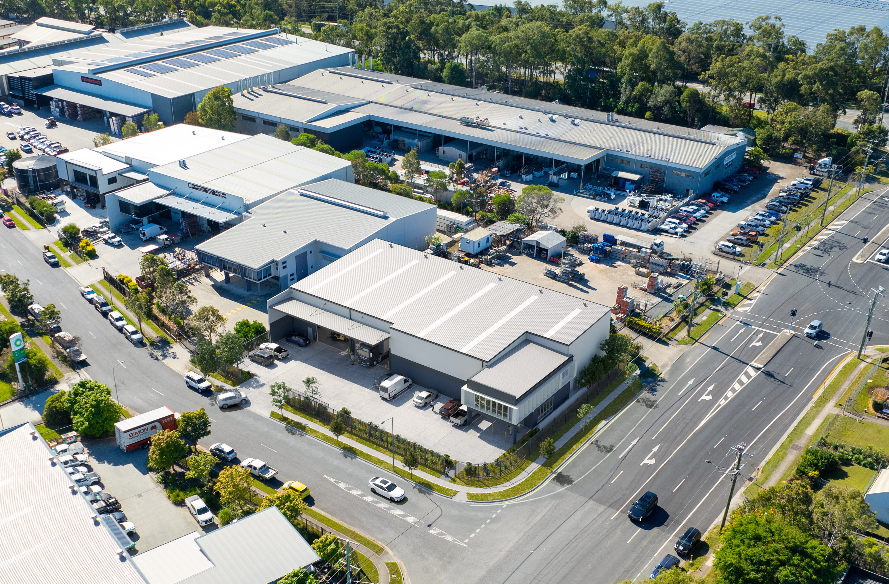 162
Sales & Leasing April, 2026 When a commercial property isn’t selling, the issue is rarely the market alone. More often, it...
READ INSIGHT → 163
Market positioning April, 2026 The way a site is presented determines how quickly it is understood, and how quickly decisions are...
READ INSIGHT →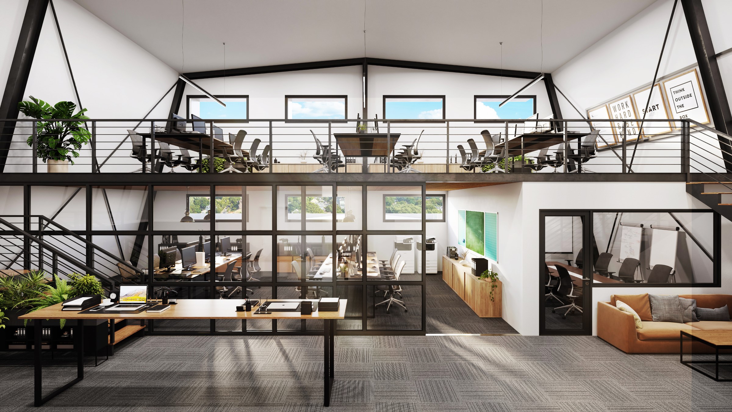 164
Market positioning April, 2026 In a competitive market, most developments are compared quickly and dismissed just as fast. Standing out is...
READ INSIGHT →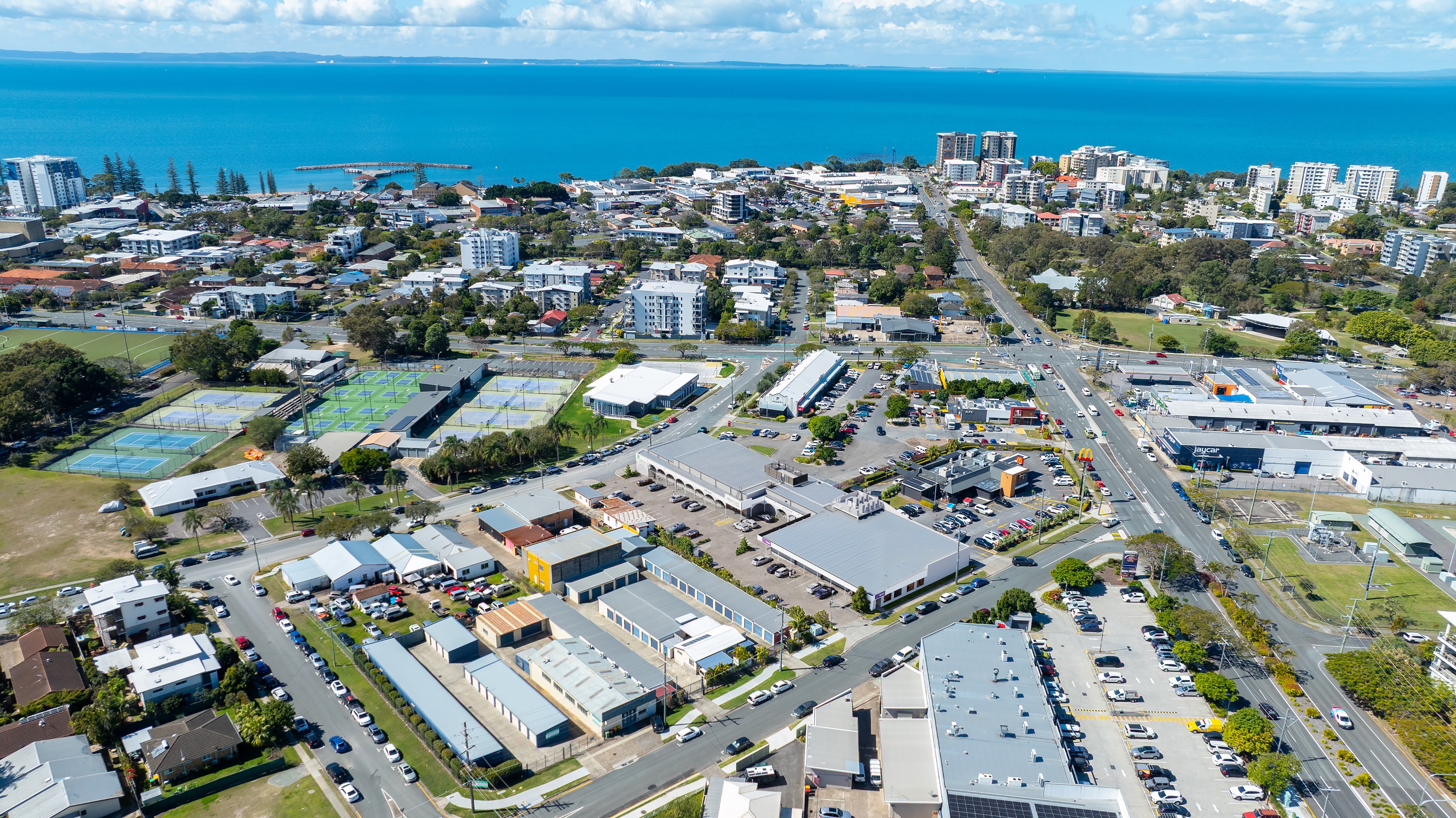 165
Market positioning April, 2026 Increasing enquiry on industrial property is not about more exposure — it’s about attracting the right attention....
READ INSIGHT →166Market positioning April, 2026 Positioning is what determines how your development is perceived in the market. It’s not just about what...
READ INSIGHT →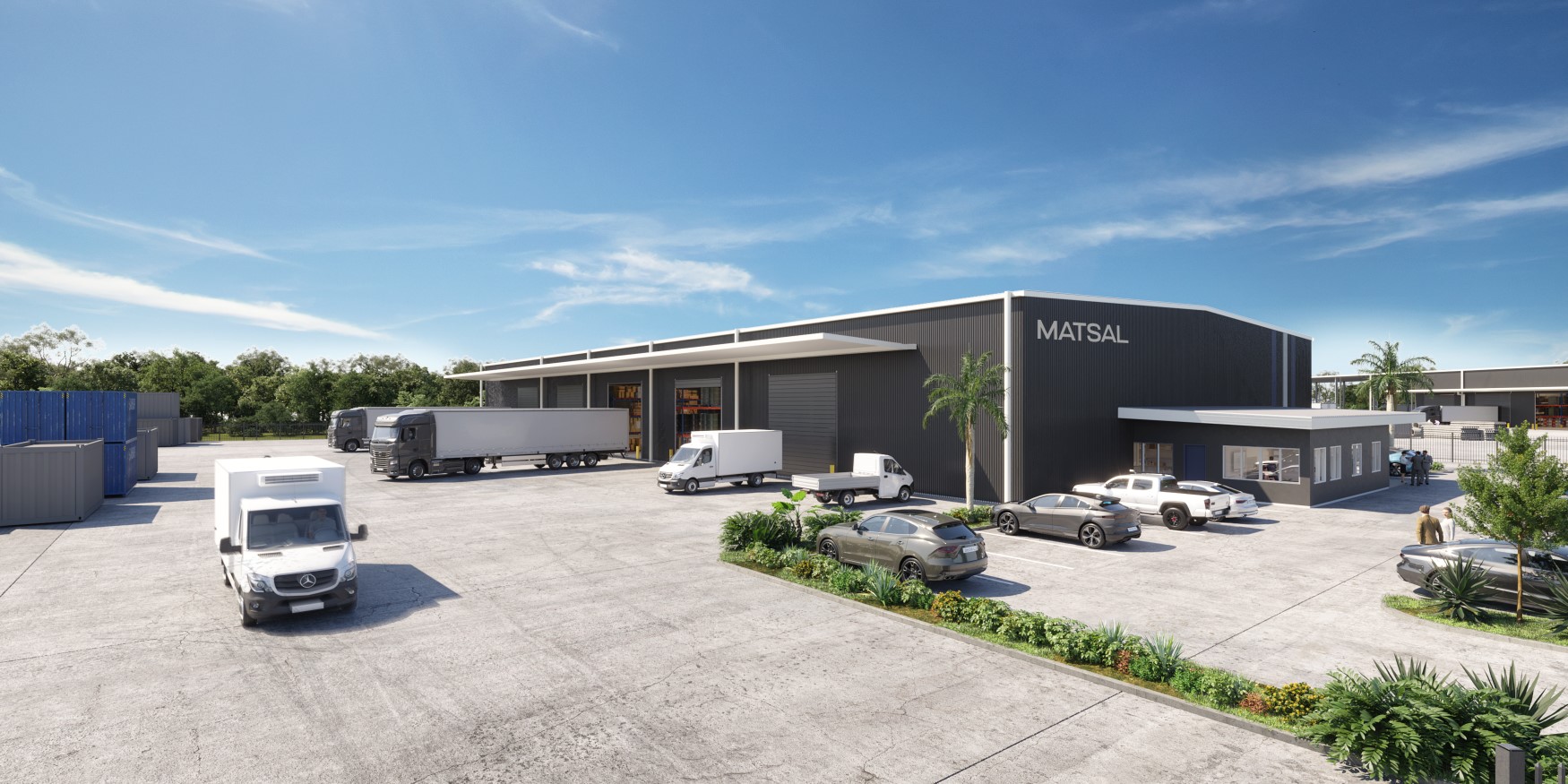 167
How Do I Market Commercial Land That Has No Buildings Yet. Practical guidance for Australian commercial property developers covering positioning,.
READ INSIGHT →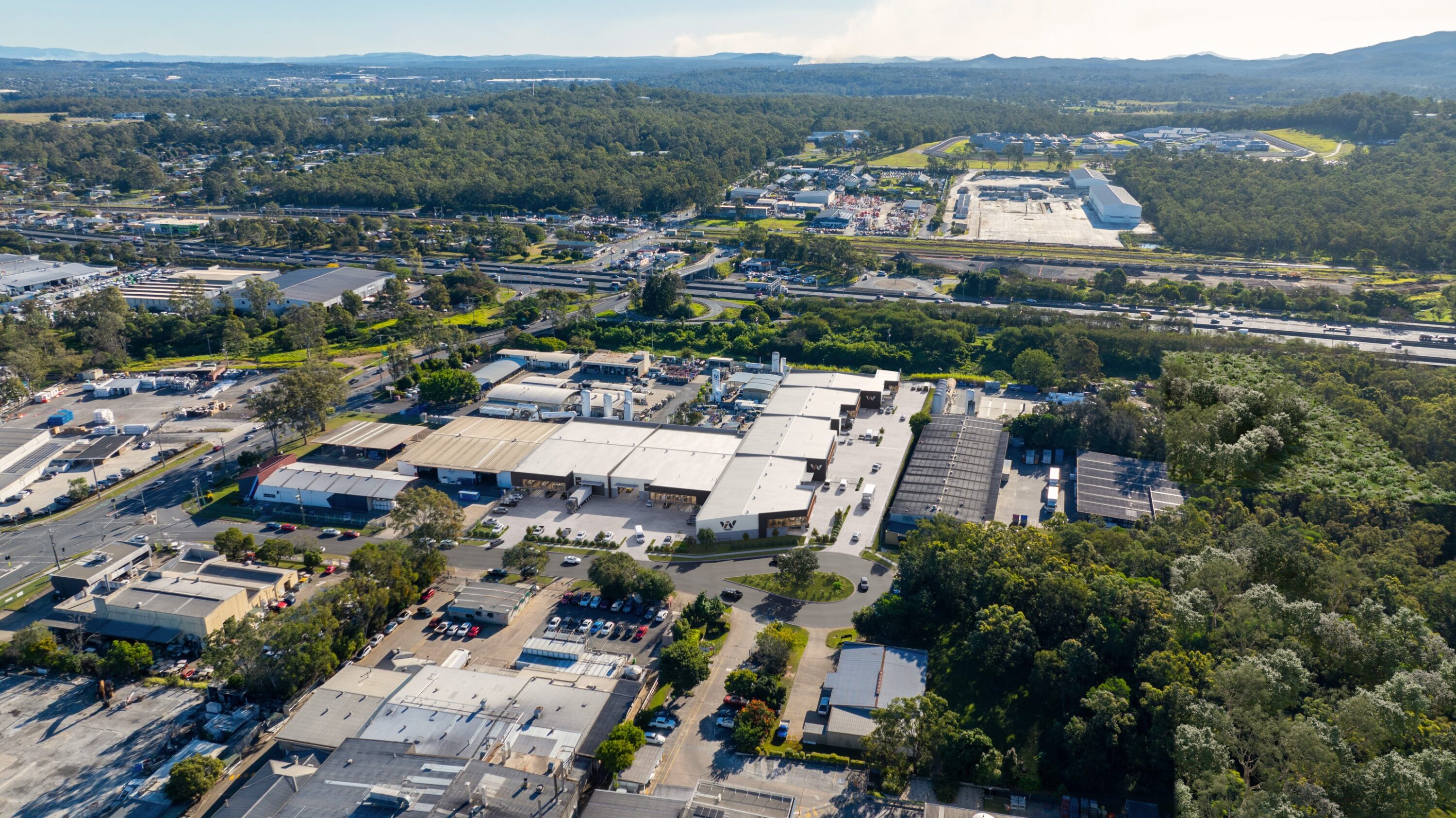 168
Development guides April, 2026 ttracting investors to a development site is not about exposure — it’s about clarity, confidence, and positioning....
READ INSIGHT →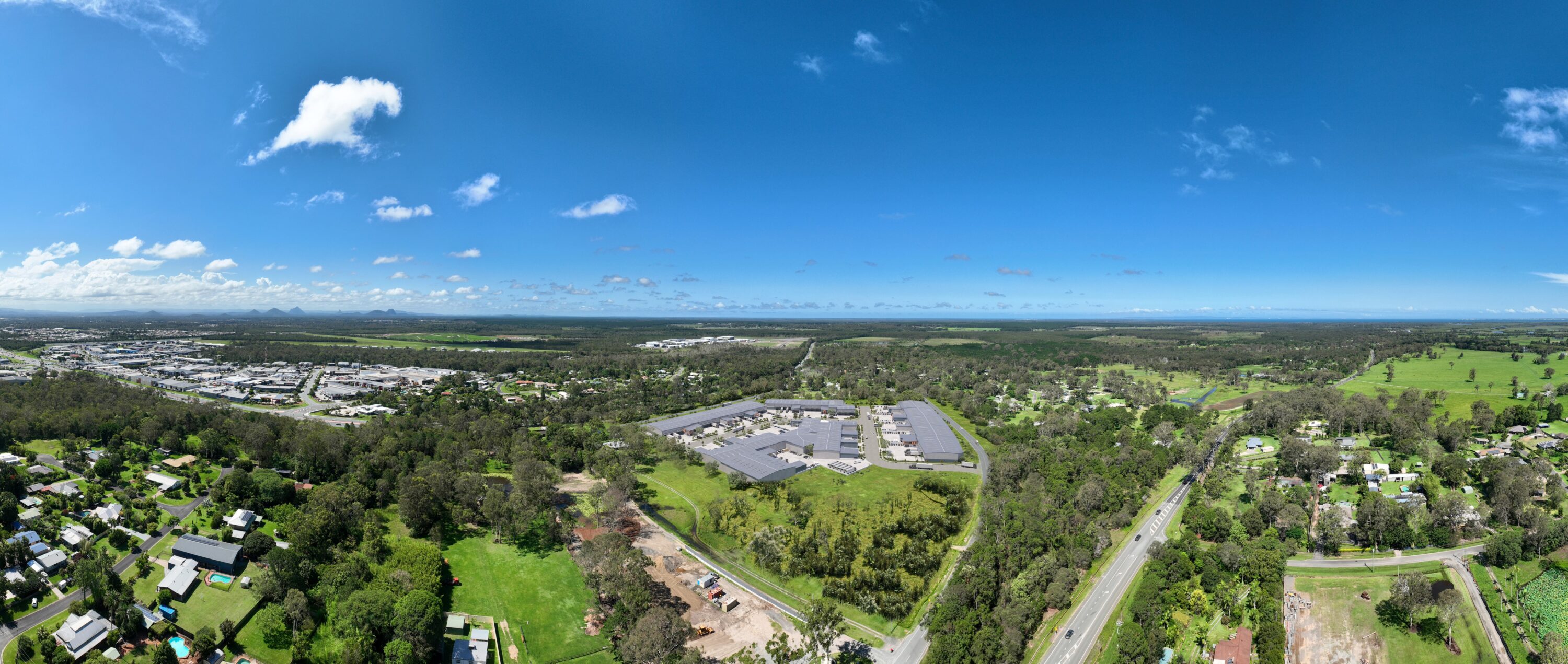 169
Project Strategies April, 2026 Selling or leasing land before titles are issued is one of the most effective ways to accelerate...
READ INSIGHT →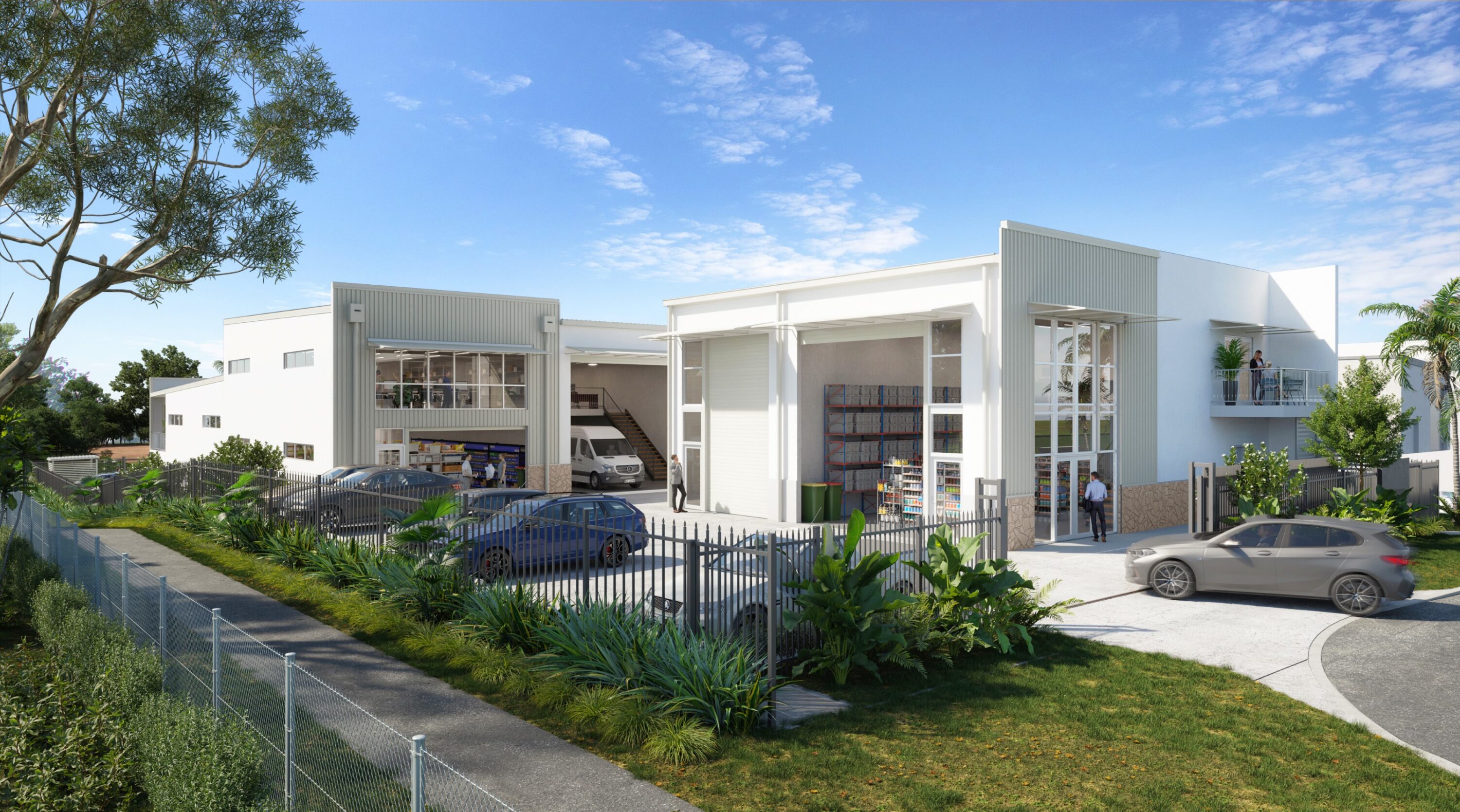 170
Project Strategies April, 2026 Bringing a development to market successfully doesn’t start with advertising — it starts with preparation. The projects...
READ INSIGHT →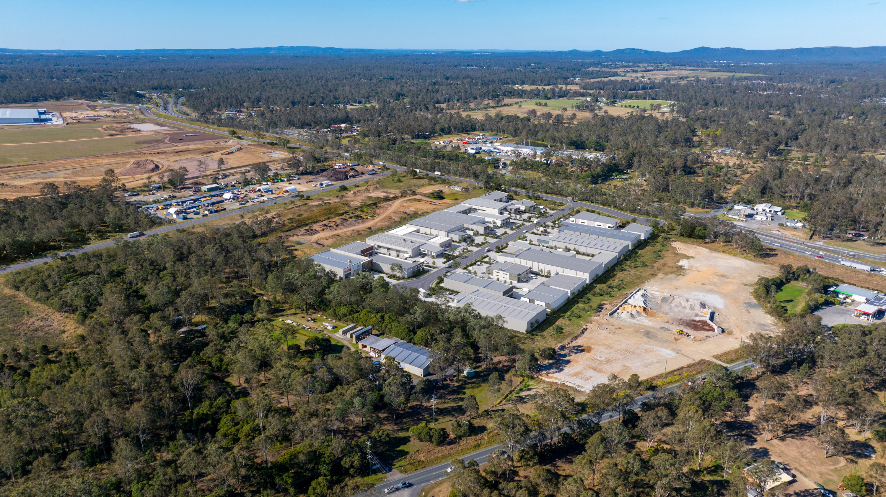 171
Market Updates April, 2026 Securing development approval is a major milestone — but it’s not the finish line. It’s the point...
READ INSIGHT →172How Do You Market a Trade Unit Development. Practical guidance for Australian commercial property developers covering positioning, visualisation, plans,.
READ INSIGHT →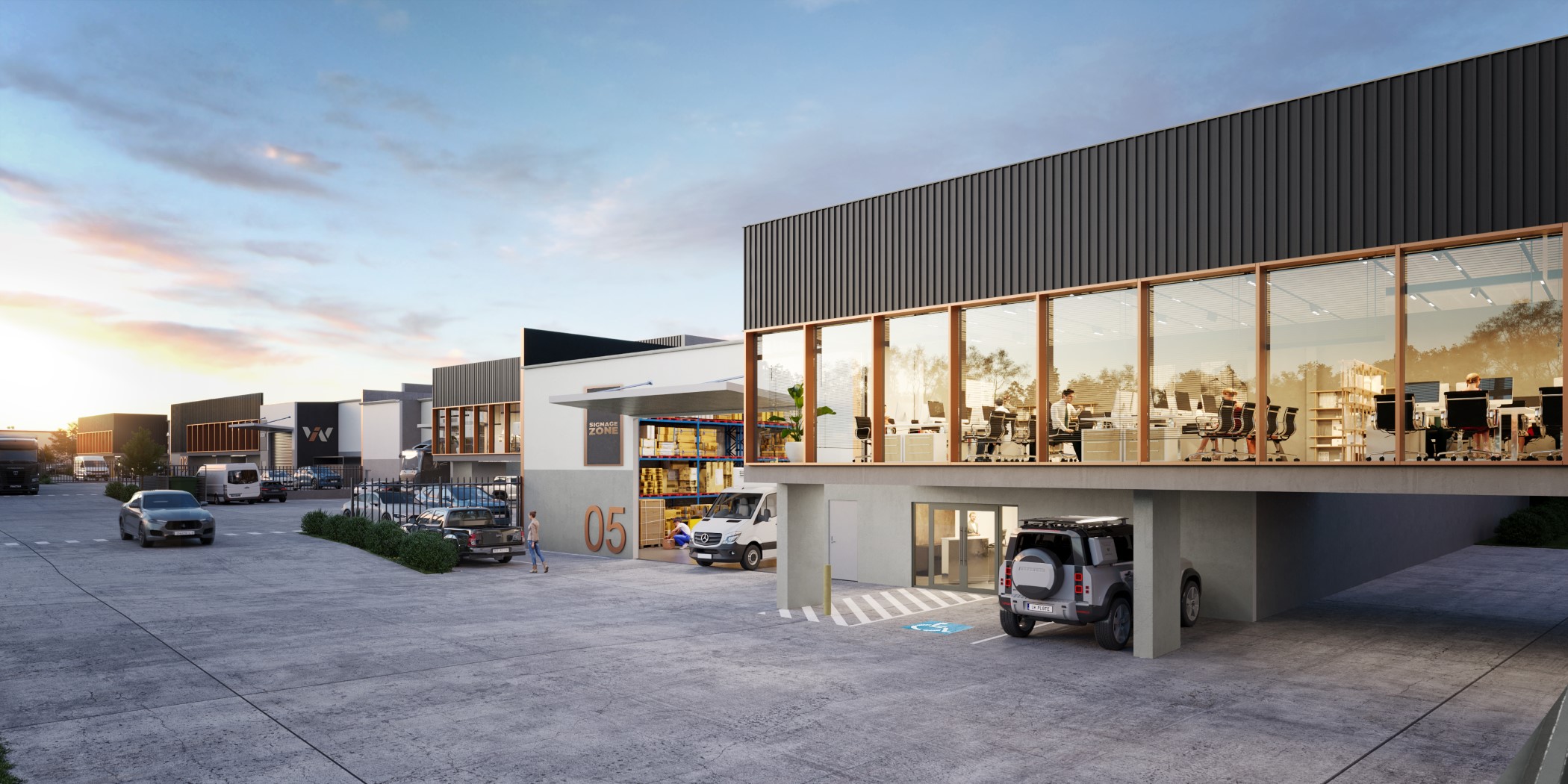 173
How Do Developers Market Industrial Property Before Construction. Practical guidance for Australian commercial property developers covering positioning,.
READ INSIGHT → 174
Market Updates April, 2026 Nambour is rapidly re-emerging as one of the Sunshine Coast’s most strategically positioned commercial and industrial centres....
READ INSIGHT → 175
Market Updates April, 2026 Perth’s commercial and industrial property market continues to outperform most other Australian capitals, driven by strong demand,...
READ INSIGHT → 176
Market Updates April, 2026 Adelaide’s commercial and industrial property market continues to strengthen, driven by defence investment, infrastructure growth, and increasing...
READ INSIGHT →177Market Updates April, 2026 Darwin’s commercial and industrial property market is stabilising, supported by renewed infrastructure investment, defence activity, and long-term...
READ INSIGHT → 178
Market Updates April, 2026 Melbourne’s commercial and industrial property market remains one of the most active in Australia, with strong demand...
READ INSIGHT → 179
Market Updates April, 2026 Sydney’s commercial and industrial property market remains one of the most competitive and supply-constrained in Australia, with...
READ INSIGHT → 180
Market Updates April, 2026 Newcastle’s commercial and industrial property market continues to gain momentum, driven by infrastructure investment, port activity, and...
READ INSIGHT →181Market Updates April, 2026 The Gold Coast continues to experience strong momentum across both commercial and industrial property, driven by population...
READ INSIGHT →182Market Updates April, 2026 Brisbane’s commercial and industrial property market continues to accelerate, driven by strong population growth, infrastructure investment, and...
READ INSIGHT → 183
Market Updates April, 2026 The Sunshine Coast continues to strengthen as one of Queensland’s fastest-growing commercial and industrial markets, driven by...
READ INSIGHT → 184
Market Updates April, 2026 Hobart’s commercial and industrial property market continues to operate under tight supply conditions, with limited land availability...
READ INSIGHT →185April, 2026 Selling commercial land or property in today’s market requires more than just listing an asset — it requires strategic...
READ INSIGHT → 186
April, 2026 Industrial property across Australia is undergoing a clear transformation, with developers increasingly delivering premium, high-spec facilities that go well...
READ INSIGHT → 187
April, 2026 Construction costs continue to place significant pressure on commercial and industrial development across Australia, forcing developers to rethink feasibility,...
READ INSIGHT →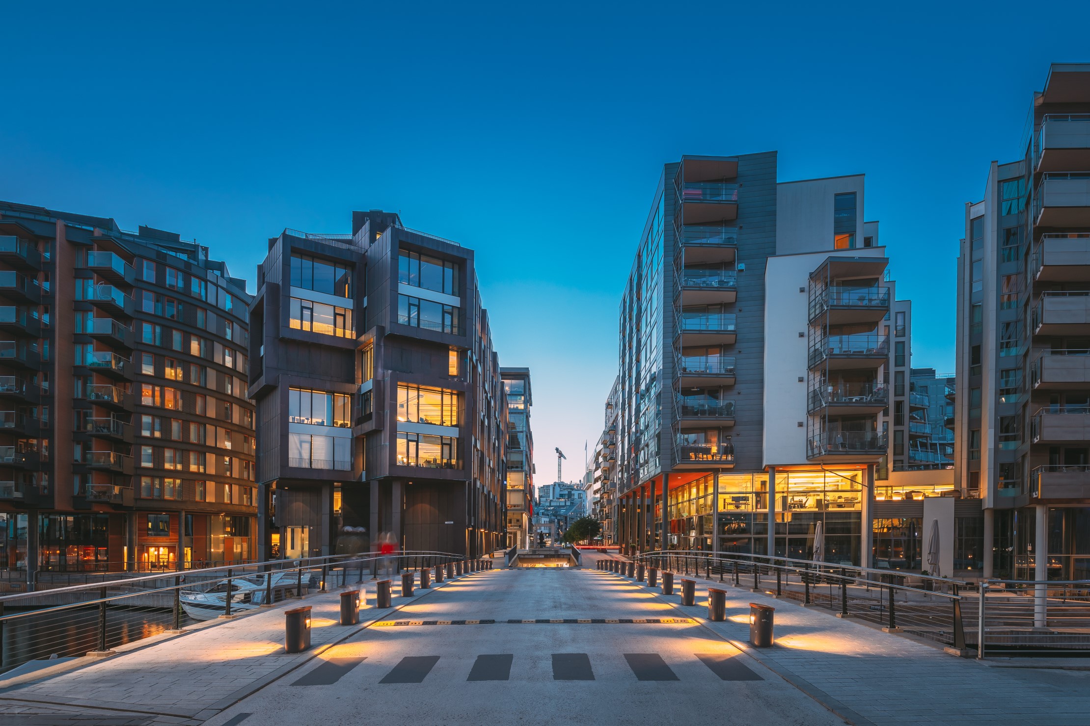 188
April, 2026 Outer-ring industrial precincts are rapidly outperforming traditional inner-city markets across Australia, driven by land availability, infrastructure access, and changing...
READ INSIGHT →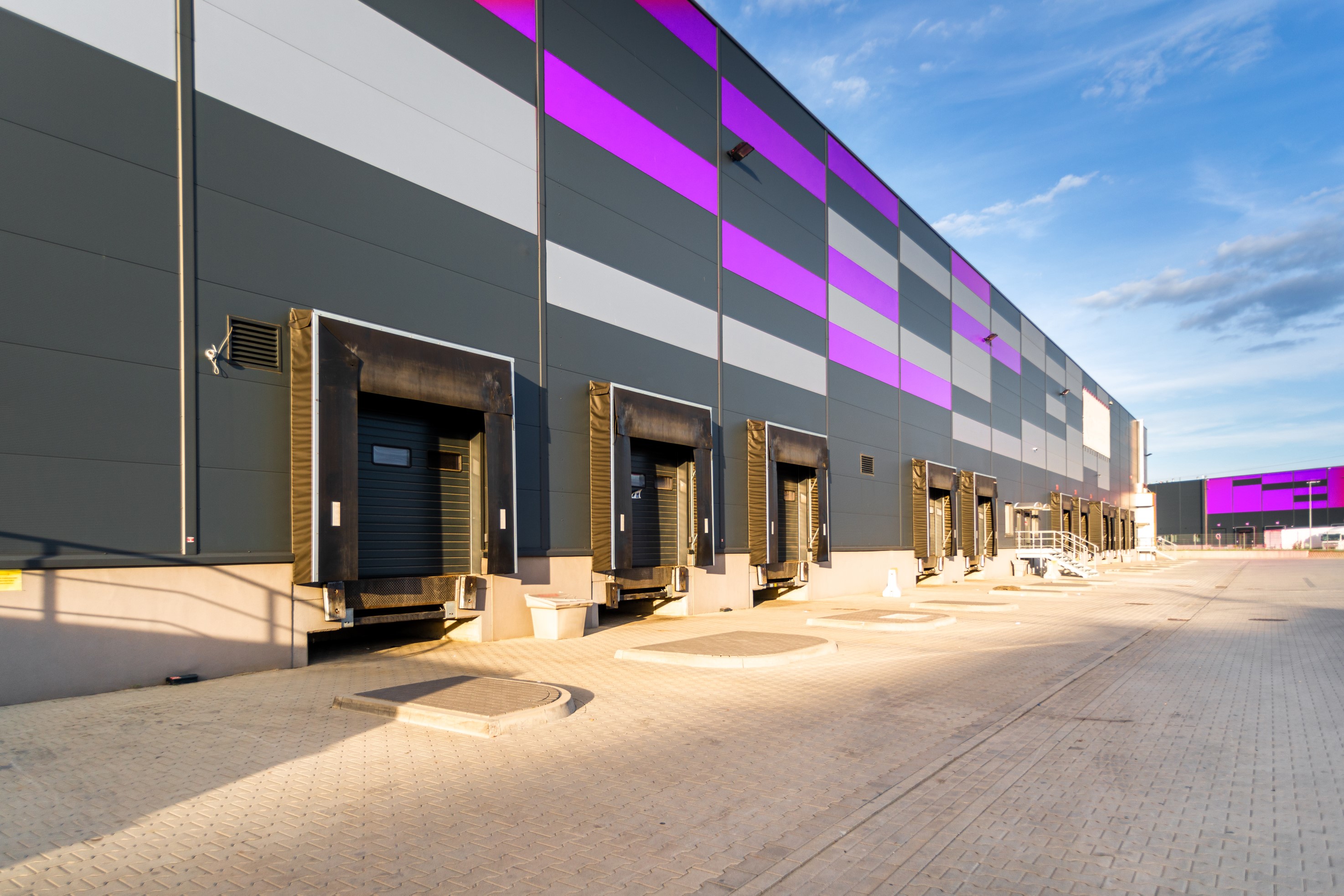 189
April, 2026 Strata industrial units have become one of the fastest-growing segments of Australia’s commercial property market, driven by strong demand...
READ INSIGHT →190April, 2026 Pre-leasing has become one of the most important strategies in Australia’s industrial development landscape, allowing developers to secure tenants...
READ INSIGHT →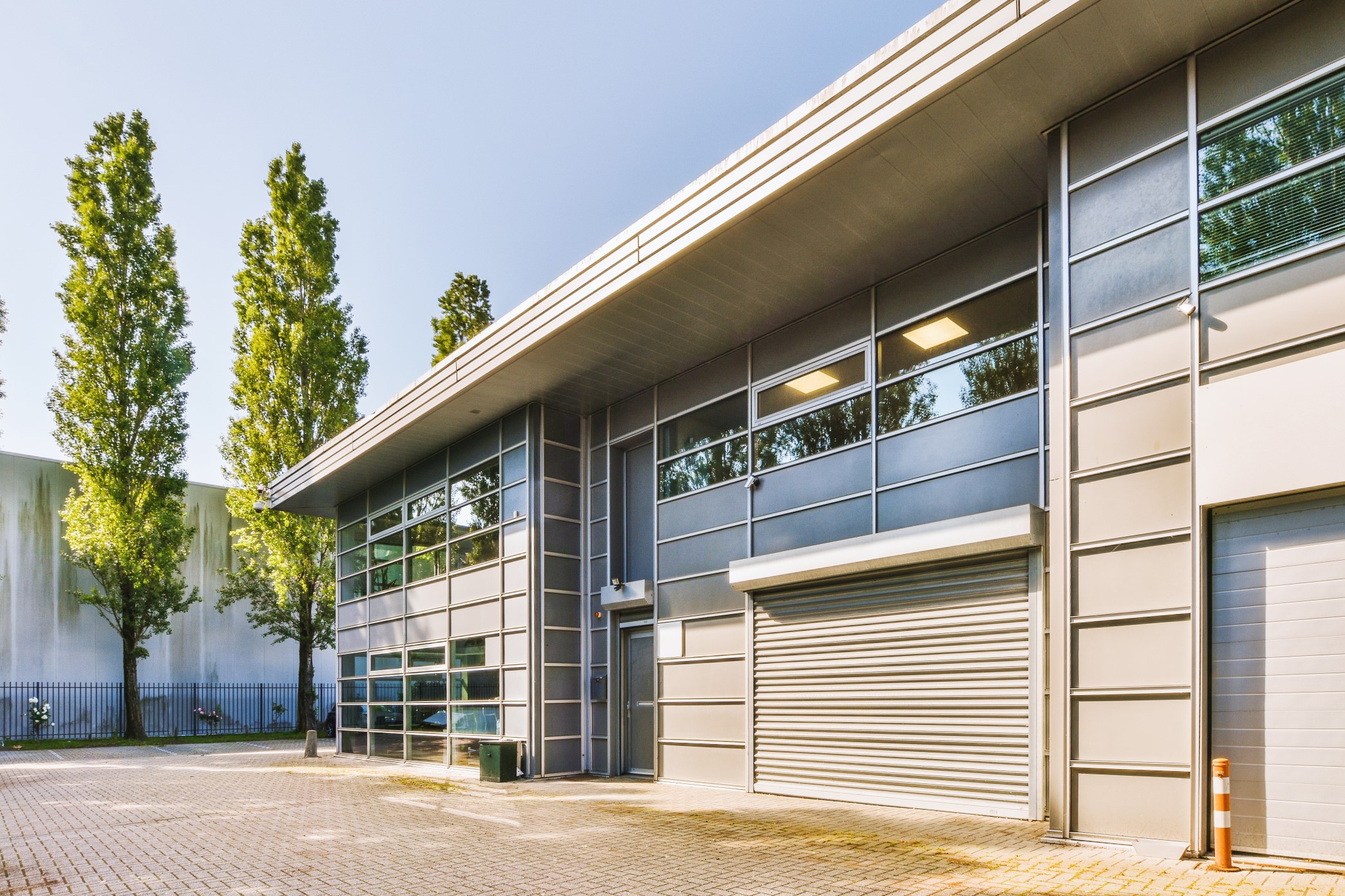 191
April, 2026 Build-to-rent and mixed-use developments are rapidly gaining traction across Australia, driven by institutional capital, changing demographics, and the need...
READ INSIGHT → 192
April, 2026 Interest rate movements are once again playing a central role in shaping Australia’s commercial property market. After a period...
READ INSIGHT → 193
April, 2026 A new wave of industrial land releases is reshaping the commercial property landscape across Australia, opening up entirely new...
READ INSIGHT →194April, 2026 Industrial vacancy rates across Australia’s major cities have reached historic lows, reinforcing the sector’s position as one of the...
READ INSIGHT → 195
April, 2026 Australia is in the middle of a data infrastructure surge that is fundamentally reshaping how industrial land is valued,...
READ INSIGHT →196What Is the Difference Between Architectural Visualisation and Property Marketing CGI. Detailed guidance for Australian commercial property developers on.
READ INSIGHT →197A practical guide to marketing a new industrial estate, including buyer positioning, masterplans, renders, websites, launch assets and agent support.
READ INSIGHT →198What Is a Commercial Property Marketing Masterplan. Detailed guidance for Australian commercial property developers on planning, visualisation, campaign.
READ INSIGHT →199How Do You Show Future Stages on a Development Masterplan. Detailed guidance for Australian commercial property developers on planning, visualisation,.
READ INSIGHT →200What Is a 3D Photomontage for Commercial Property. Detailed guidance for Australian commercial property developers on planning, visualisation, campaign.
READ INSIGHT → 201
How Do You Present Lot Sizes, Roads and Access Clearly. Detailed guidance for Australian commercial property developers on planning, visualisation,.
READ INSIGHT →202How Do You Maintain Demand Across Multiple Development Stages. Practical guidance for Australian commercial property developers covering positioning,.
READ INSIGHT →203How Do You Market Stage One of a Larger Industrial Estate. Practical guidance for Australian commercial property developers covering positioning,.
READ INSIGHT →204How Do You Show Surrounding Roads and Infrastructure on a Masterplan. Detailed guidance for Australian commercial property developers on planning,.
READ INSIGHT →205How Do Developers Secure Tenants Before Construction Starts. Practical guidance for Australian commercial property developers covering positioning,.
READ INSIGHT →206Can Masterplans Be Updated as Lots Sell. Detailed guidance for Australian commercial property developers on planning, visualisation, campaign assets,.
READ INSIGHT →207What Is Development Application Visualisation. Detailed guidance for Australian commercial property developers on planning, visualisation, campaign.
READ INSIGHT →208How Do You Visualise an Industrial Development Before Construction Documentation. Detailed guidance for Australian commercial property developers on.
READ INSIGHT →209When Should Marketing Start for an Industrial Estate. Practical guidance for Australian commercial property developers covering positioning,.
READ INSIGHT → 210
How Do You Visualise Vacant Land for Sale. Practical guidance for Australian commercial property developers covering positioning, visualisation, plans,.
READ INSIGHT →211How Should Available Units Be Presented During a Pre-Sales Campaign. Practical guidance for Australian commercial property developers covering.
READ INSIGHT →212How Do I Present a Proposed Development to Council, Investors or Buyers. Detailed guidance for Australian commercial property developers on planning,.
READ INSIGHT → 213
Do I Need a Website for a Commercial Property Development. Detailed guidance for Australian commercial property developers on planning, visualisation,.
READ INSIGHT → 214
How Accurate Should Commercial Property Marketing Renders Be. Detailed guidance for Australian commercial property developers on planning, visualisation,.
READ INSIGHT →215How Do You Make an Industrial Estate Masterplan Easy to Understand. Detailed guidance for Australian commercial property developers on planning,.
READ INSIGHT →216How Can 3D Renders Increase Commercial Property Enquiries. Detailed guidance for Australian commercial property developers on planning, visualisation,.
READ INSIGHT → 217
How Can I Show Buyers What Can Be Built on Commercial Land. Practical guidance for Australian commercial property developers covering positioning,.
READ INSIGHT →218Who Can Create a Marketing Masterplan for an Industrial Estate. Detailed guidance for Australian commercial property developers on planning,.
READ INSIGHT →219Find out what to look for in a team to market an industrial development, from positioning and renders to websites, IMs and agent sales…
READ INSIGHT → 220
Can You Create Marketing Renders From DA Drawings. Detailed guidance for Australian commercial property developers on planning, visualisation, campaign.
READ INSIGHT →221How Early Should a Development Website Go Live. Detailed guidance for Australian commercial property developers on planning, visualisation, campaign.
READ INSIGHT → 222
February, 2026 Retail property didn’t fade in 2025. It recalibrated. Investment volumes surprised to the upside, and 2026 is shaping as...
READ INSIGHT → 223
February, 2026 UniSuper’s approximately $200 million off-market acquisition of modern Brisbane industrial assets reinforces that institutional capital hasn’t left logistics. It’s...
READ INSIGHT → 224
February, 2026 The Reserve Bank’s decision to lift the cash rate to 3.85% isn’t a shock — but it formalises what...
READ INSIGHT → 225
February, 2026 Charter Hall’s acquisition of a 50% stake in Sydney’s O’Connell Street precinct for approximately $500 million is not a...
READ INSIGHT → 226
February, 2026 Australia’s commercial property market has quietly entered a new phase, and it’s being driven by infrastructure rather than tenants....
READ INSIGHT →227How Do You Turn a Civil Plan Into a Marketing Masterplan. Detailed guidance for Australian commercial property developers on planning, visualisation,.
READ INSIGHT → 228
How to Use 3D Renders to Support Commercial Property Sales. Detailed guidance for Australian commercial property developers on planning, visualisation,.
READ INSIGHT →229Can Tenancy Branding Be Added to Commercial Property Renders. Detailed guidance for Australian commercial property developers on planning, visualisation,.
READ INSIGHT →230How Do I Explain a Commercial Land Opportunity Visually. Practical guidance for Australian commercial property developers covering positioning,.
READ INSIGHT →231What Does a Complete Industrial Property Marketing Campaign Include. Practical guidance for Australian commercial property developers covering.
READ INSIGHT →232January, 2026 Australia’s commercial property market enters 2026 with momentum rebuilding across multiple sectors, but with far more selectivity in where...
READ INSIGHT → 233
Development insights January, 2026 The Logan Flagstone Industrial project sits at the centre of one of South East Queensland’s most significant...
READ INSIGHT →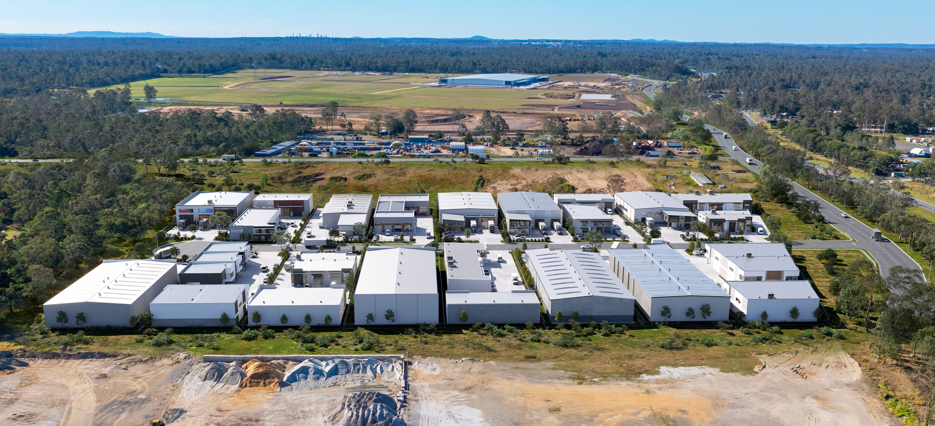 234
Market Updates January, 2026 The Gold Coast industrial and commercial market ended 2025 on a high, with tightly held supply and...
READ INSIGHT → 235
Market Updates January, 2026 The Sunshine Coast finished 2025 with powerful momentum, driven by population growth, record infrastructure investment, and landmark...
READ INSIGHT →236Market Updates January, 2026 Hobart’s commercial and industrial market wrapped up 2025 with a noticeable uptick in institutional activity and investor-led...
READ INSIGHT →237Market Updates January, 2026 Adelaide’s commercial and industrial property market closed out 2025 with steady growth across the north and west,...
READ INSIGHT → 238
Market Updates January, 2026 Perth’s commercial and industrial sector ended 2025 with strong momentum, as high land demand, constrained supply, and...
READ INSIGHT → 239
Market Updates January, 2026 Brisbane commercial property news – November / December 2025 Brisbane’s commercial and industrial property sector closed out...
READ INSIGHT → 240
Market Updates January, 2026 Melbourne commercial property news – November / December 2025 Melbourne’s commercial and industrial property market ended the...
READ INSIGHT → 241
Market Updates January, 2026 Sydney commercial property news – November / December 2025 Sydney’s commercial and industrial property market closed out...
READ INSIGHT →242How Do I Market a Multi-Unit Warehouse Development. Practical guidance for Australian commercial property developers covering positioning, visualisation,.
READ INSIGHT →243Can a Concept Masterplan Be Created Before Detailed Design. Detailed guidance for Australian commercial property developers on planning, visualisation,.
READ INSIGHT →244How Do You Create a Precinct Plan for a Commercial Development. Detailed guidance for Australian commercial property developers on planning,.
READ INSIGHT →245How Do You Build Demand Before an Industrial Project Is Finished. Practical guidance for Australian commercial property developers covering positioning,.
READ INSIGHT →246Who Can Create Industrial Property Renders. Detailed guidance for Australian commercial property developers on planning, visualisation, campaign assets,.
READ INSIGHT →247How Do I Market a DA-Approved Commercial Development. Detailed guidance for Australian commercial property developers on planning, visualisation, campaign.
READ INSIGHT →248How Do I Sell Commercial Lots Off the Plan. Practical guidance for Australian commercial property developers covering positioning, visualisation, plans,.
READ INSIGHT →249Learn how to market an industrial estate before construction using project positioning, 3D renders, masterplans, websites and sales material.
READ INSIGHT →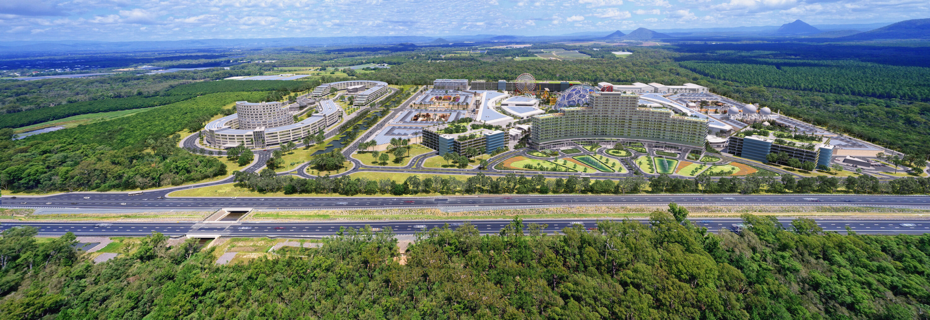 250
Market Updates November, 2025 October has cemented the Sunshine Coast’s position as one of Australia’s most dynamic and fast-moving commercial and...
READ INSIGHT → 251
Market Updates November, 2025 Adelaide’s commercial and industrial property market continues to strengthen, with key activity across the northern growth corridors...
READ INSIGHT → 252
Market Updates November, 2025 Canberra Commercial & Industrial Property News October 2025 Canberra’s commercial and industrial property market remains one of...
READ INSIGHT →253Perth November, 2025 Hobart Commercial & Industrial Property News October 2025 Hobart’s commercial and industrial property market continues to evolve from...
READ INSIGHT → 254
Perth November, 2025 Perth Commercial & Industrial Property News October 2025 Perth’s commercial and industrial property sector continues to surge ahead,...
READ INSIGHT → 255
Market Updates November, 2025 Melbourne Commercial & Industrial Property News — October 2025 Melbourne’s commercial and industrial sectors are regaining momentum,...
READ INSIGHT → 256
Sydney November, 2025 Sydney commercial property news – October 2025 Sydney’s commercial and industrial markets remain active this October, driven by...
READ INSIGHT → 257
Brisbane November, 2025 Brisbane commercial & industrial property news – October 2025 Brisbane’s commercial and industrial sectors are seeing a pronounced uplift...
READ INSIGHT → 258
Development guides October, 2025 Drive market confidence: How visuals reduce hesitation and create clarity for buyers, tenants and investors No matter...
READ INSIGHT →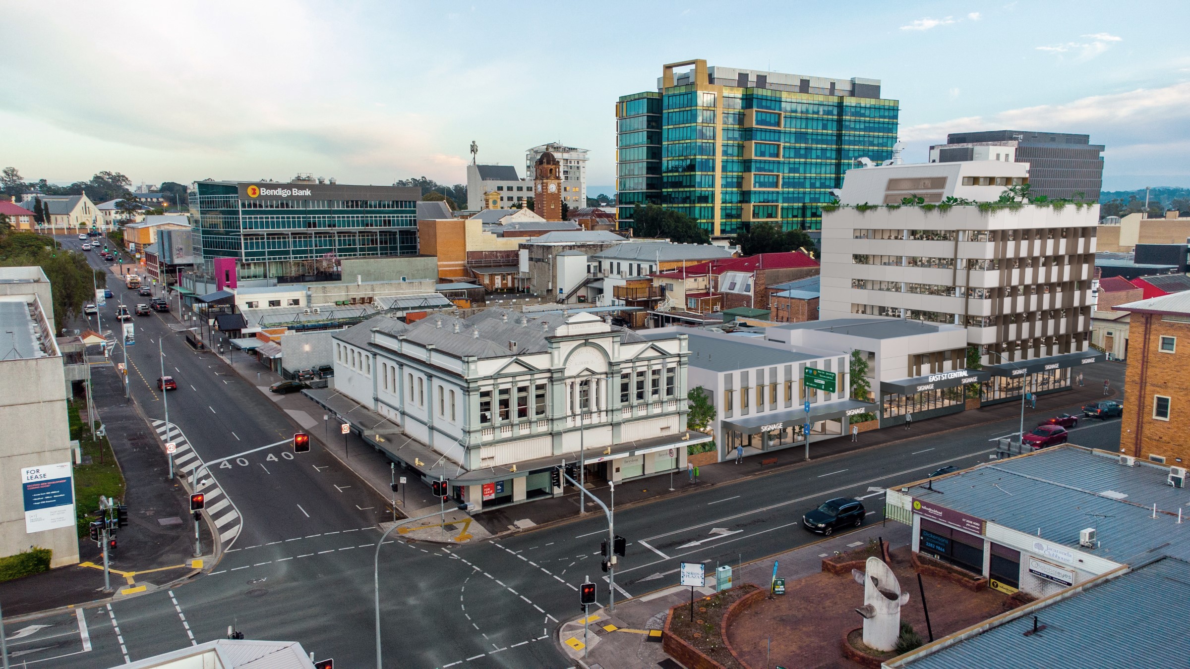 259
Development guides October, 2025 Strengthen your DA submission: How 3D visuals and clarity improve development outcomes Submitting a Development Application (DA)...
READ INSIGHT →260Development guides October, 2025 Sell your land faster: How visuals and masterplans increase value and speed up the sales process Selling...
READ INSIGHT →261Development guides October, 2025 Secure early leasing success: How visuals drive tenant confidence before construction starts In today’s market, waiting until...
READ INSIGHT → 262
Market Updates October, 2025 Canberra Commercial & Industrial Property Market — September 2025 Update Canberra’s commercial and industrial property sector is...
READ INSIGHT →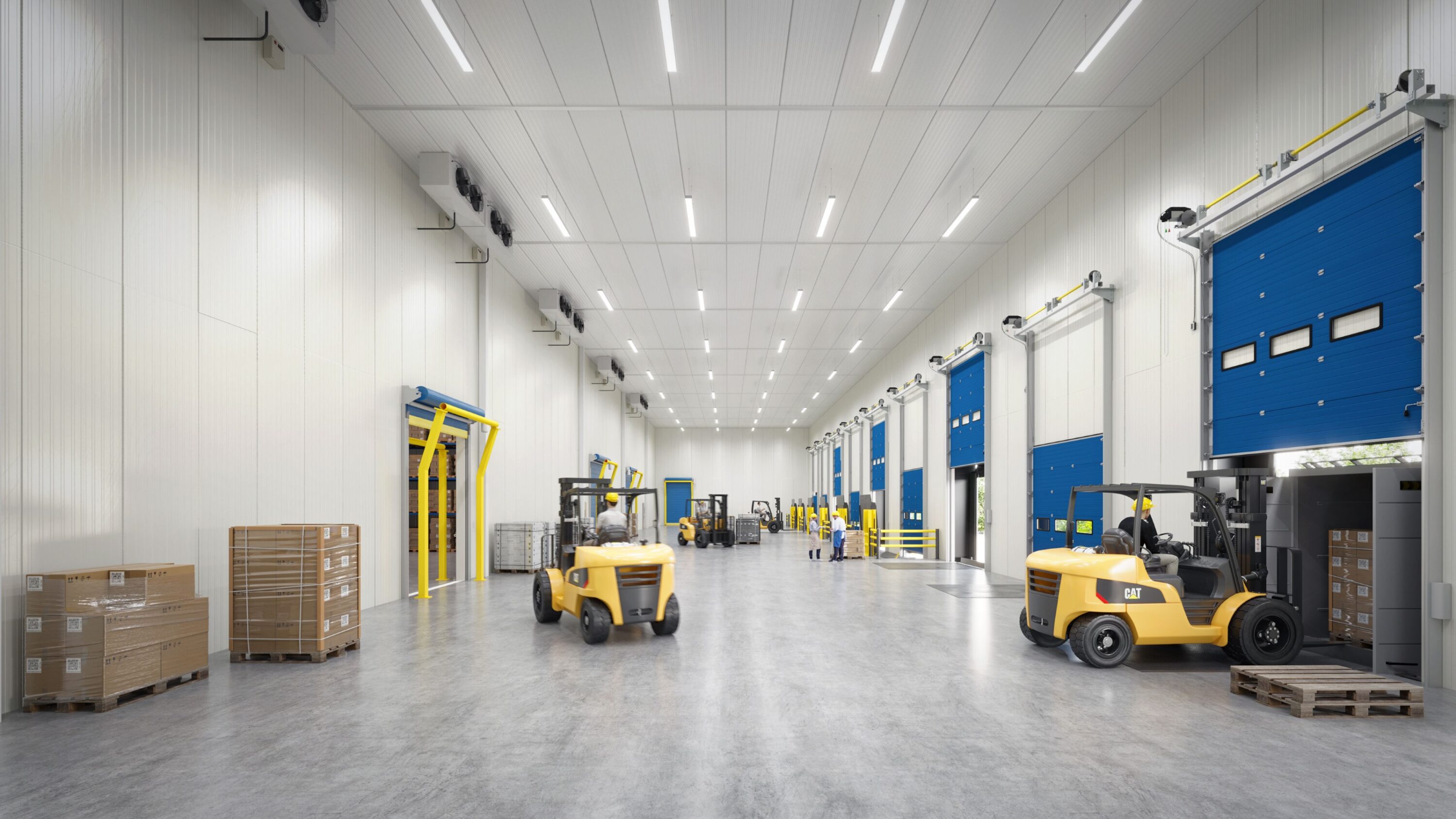 263
Market Updates October, 2025 Adelaide Commercial & Industrial Property Market — September 2025 Update Adelaide’s commercial and industrial sector is entering...
READ INSIGHT → 264
Perth October, 2025 Perth Commercial & Industrial Property Market — September 2025 Update Perth’s industrial and commercial sector continues to outperform...
READ INSIGHT →265Brisbane October, 2025 Brisbane Commercial & Industrial Property Market — September 2025 Update Brisbane’s commercial and industrial market is powering into...
READ INSIGHT → 266
Market Updates October, 2025 Melbourne Commercial & Industrial Property Market — September 2025 Update Melbourne’s industrial and commercial property market remains...
READ INSIGHT → 267
Sydney October, 2025 Sydney Commercial & Industrial Property Market — September 2025 Update Sydney’s commercial and industrial market remains active in...
READ INSIGHT →268Market Updates September, 2025 Seymour Property Group Launches Morlink Tradepark in Moreton Bay Seymour Property Group has officially launched Morlink Tradepark...
READ INSIGHT → 269
Market Updates September, 2025 Sentinel Property’s East Arm Acquisition Signals NT Industrial Momentum Darwin’s industrial sector is gaining strength, underlined by...
READ INSIGHT → 270
Market Updates September, 2025 Lansdown Eco‑Industrial Precinct Accelerates with Battery & Solar Manufacturing Projects Townsville’s emerging Lansdown Eco‑Industrial Precinct (LEIP) is...
READ INSIGHT → 271
Perth September, 2025 REIWA Reports 15% Annual Increase in Perth’s Industrial Land Values The Real Estate Institute of Western Australia (REIWA)...
READ INSIGHT → 272
Perth September, 2025 Perth Industrial Leasing Booms: 122,200 sqm Gross Take-Up Recorded in Q2 2025 Perth’s industrial property sector continues to...
READ INSIGHT → 273
Perth September, 2025 Major Industrial Land Releases in Wattleup, Hope Valley and Forrestdale Power Perth’s Logistical Growth Perth’s industrial expansion is...
READ INSIGHT → 274
Market Updates September, 2025 Perth Industrial Vacancy Hits Record Low — Defies National Trends In Q2 2025, Perth industrial vacancy fell...
READ INSIGHT →275Market Updates September, 2025 $500M Industrial Development Fund Targets East Coast Logistics Precincts Melbourne-based Cadence Property Group is launching a $500...
READ INSIGHT → 276
Market Updates September, 2025 Port Adelaide Industrial Property Sets Record as Centuria Buys $216M Logistics Asset Centuria Industrial REIT has made...
READ INSIGHT → 277
Market Updates September, 2025 Western Sydney Industrial Land Booms with Goodman’s $575M Airport Precinct Acquisition Goodman Group has taken a bold...
READ INSIGHT → 278
Market Updates August, 2025 Perth August 2025 Commercial & Industrial Market Update Perth’s industrial property market remains one of the strongest...
READ INSIGHT → 279
Market Updates August, 2025 Adelaide August 2025 Commercial & Industrial Market Update Adelaide’s commercial and industrial property market continues to grow...
READ INSIGHT → 280
Market Updates August, 2025 Brisbane August 2025 Commercial & Industrial Market Update Brisbane’s commercial and industrial property sector has entered a...
READ INSIGHT →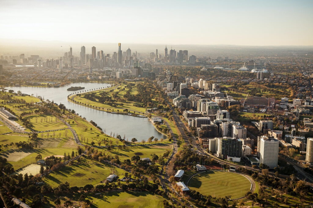 281
Market Updates August, 2025 Melbourne August 2025 Commercial & Industrial Market Update Melbourne’s industrial property market is showing strong resilience in...
READ INSIGHT →282Market Updates August, 2025 Sydney August 2025 Commercial & Industrial Market Update Sydney’s industrial property market continues to operate at full...
READ INSIGHT → 283
Development insights July, 2025 How Artificial Intelligence Is Shaping Commercial Property Investment and Design Artificial Intelligence (AI) is quickly becoming one...
READ INSIGHT → 284
Development insights July, 2025 Australia’s $500 Billion Infrastructure Pipeline: What It Means for Commercial and Industrial Property Australia is in the...
READ INSIGHT → 285
Darwin July, 2025 Northern Australia’s Infrastructure Surge Unlocks Commercial and Industrial Growth Northern Australia is undergoing a transformative shift, driven by...
READ INSIGHT → 286
3d masterplan , sell land July, 2025 Super Funds Reshape Australia’s Industrial Property Sector: Hostplus Challenges Lendlease on $2B Mandate The...
READ INSIGHT →287Sydney July, 2025 Sydney’s Skyline to Shift with Approval of Two 300m+ Commercial Towers In a landmark decision that signals the...
READ INSIGHT →288Market Updates July, 2025 Perth June 2025 Commercial & Industrial Market Update Perth’s commercial and industrial property sectors continue to outperform...
READ INSIGHT →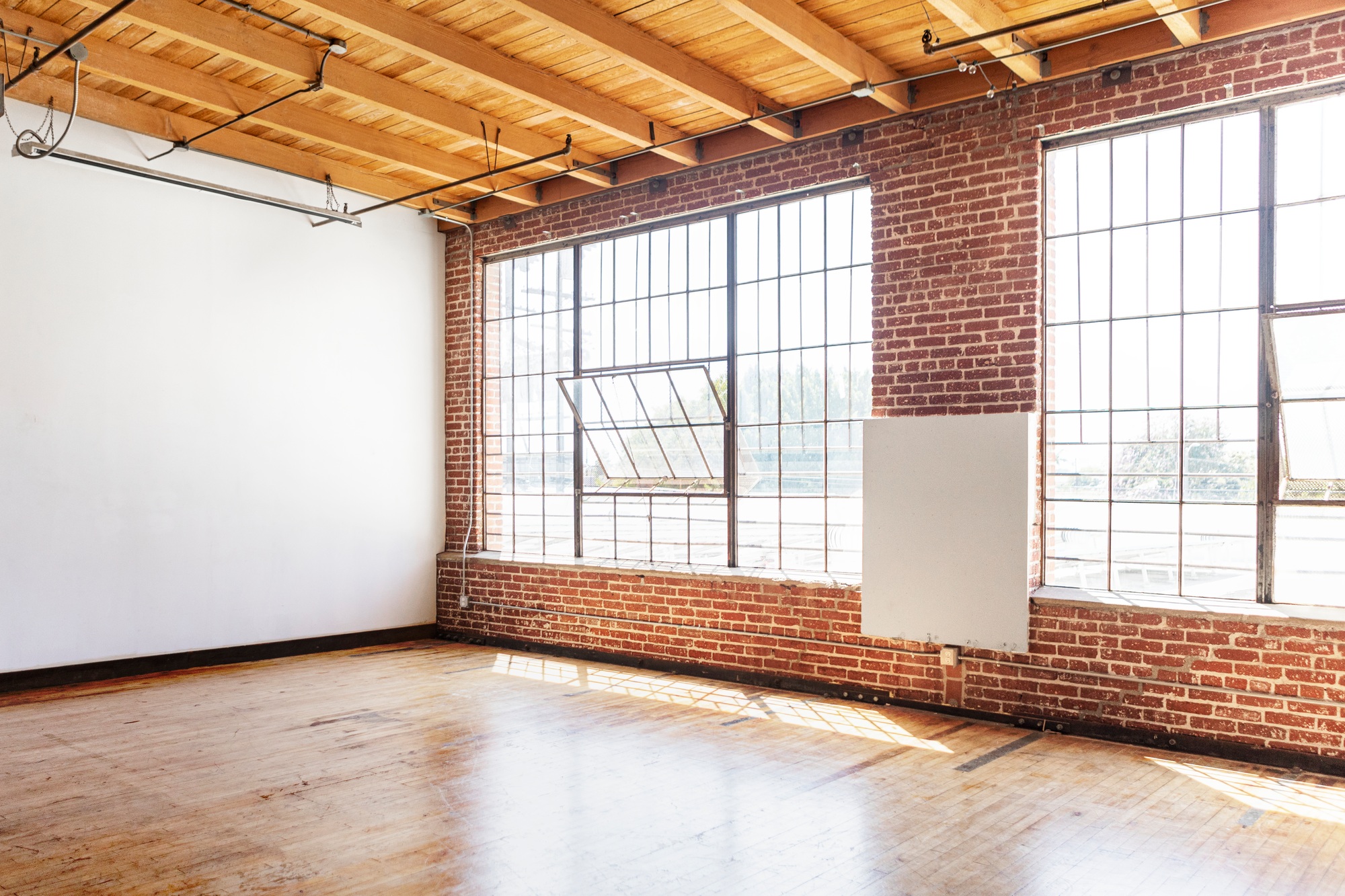 289
Market Updates July, 2025 Brisbane June 2025 Commercial & Industrial Market Update Brisbane’s commercial and industrial market is powering ahead in...
READ INSIGHT →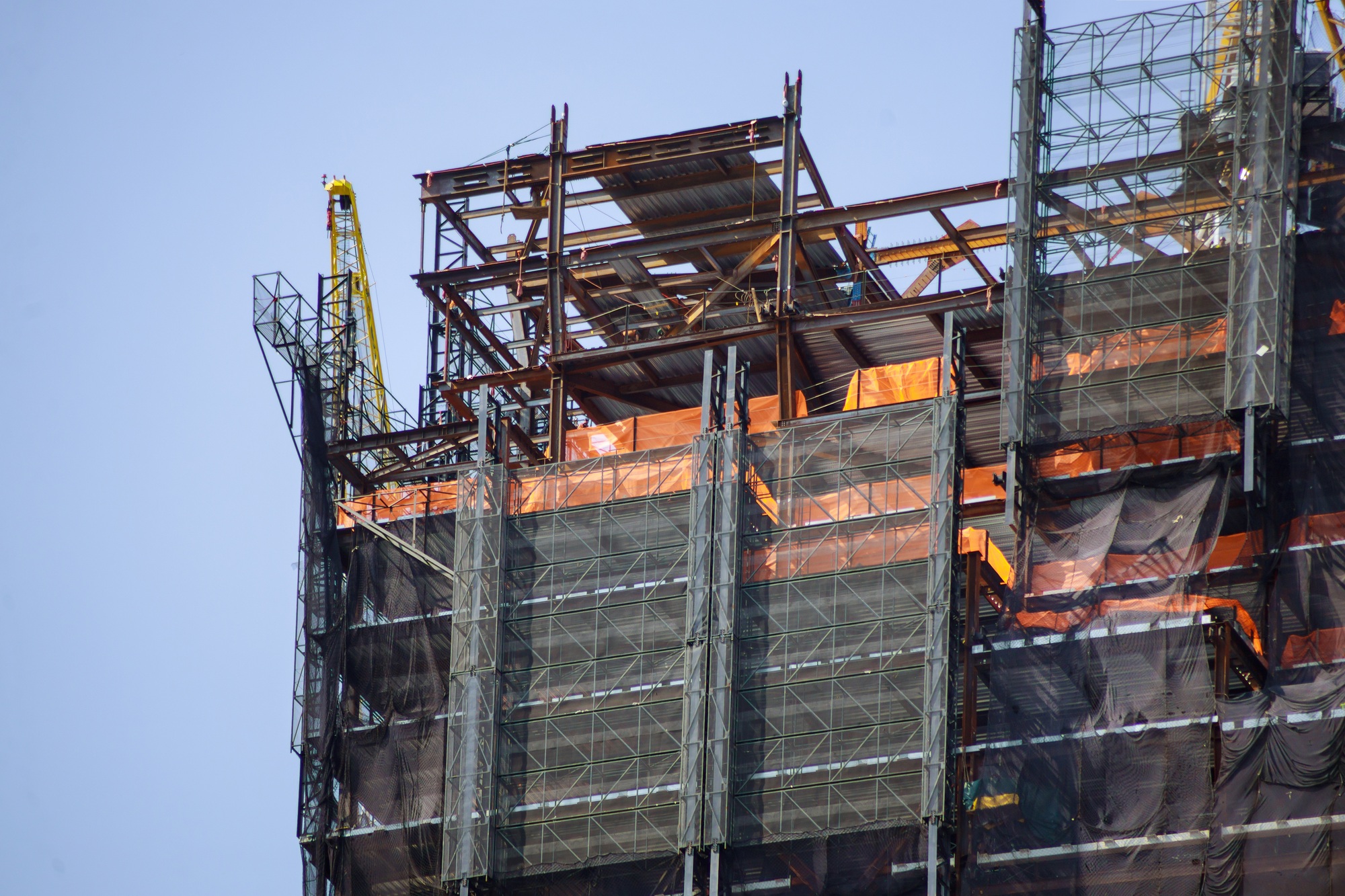 290
Market Updates July, 2025 Melbourne June 2025 Commercial & Industrial Market Update Melbourne’s commercial and industrial property sectors are navigating a...
READ INSIGHT → 291
Market Updates July, 2025 Sydney June 2025 Commercial & Industrial Market Update Sydney’s commercial and industrial property sectors are surging forward...
READ INSIGHT →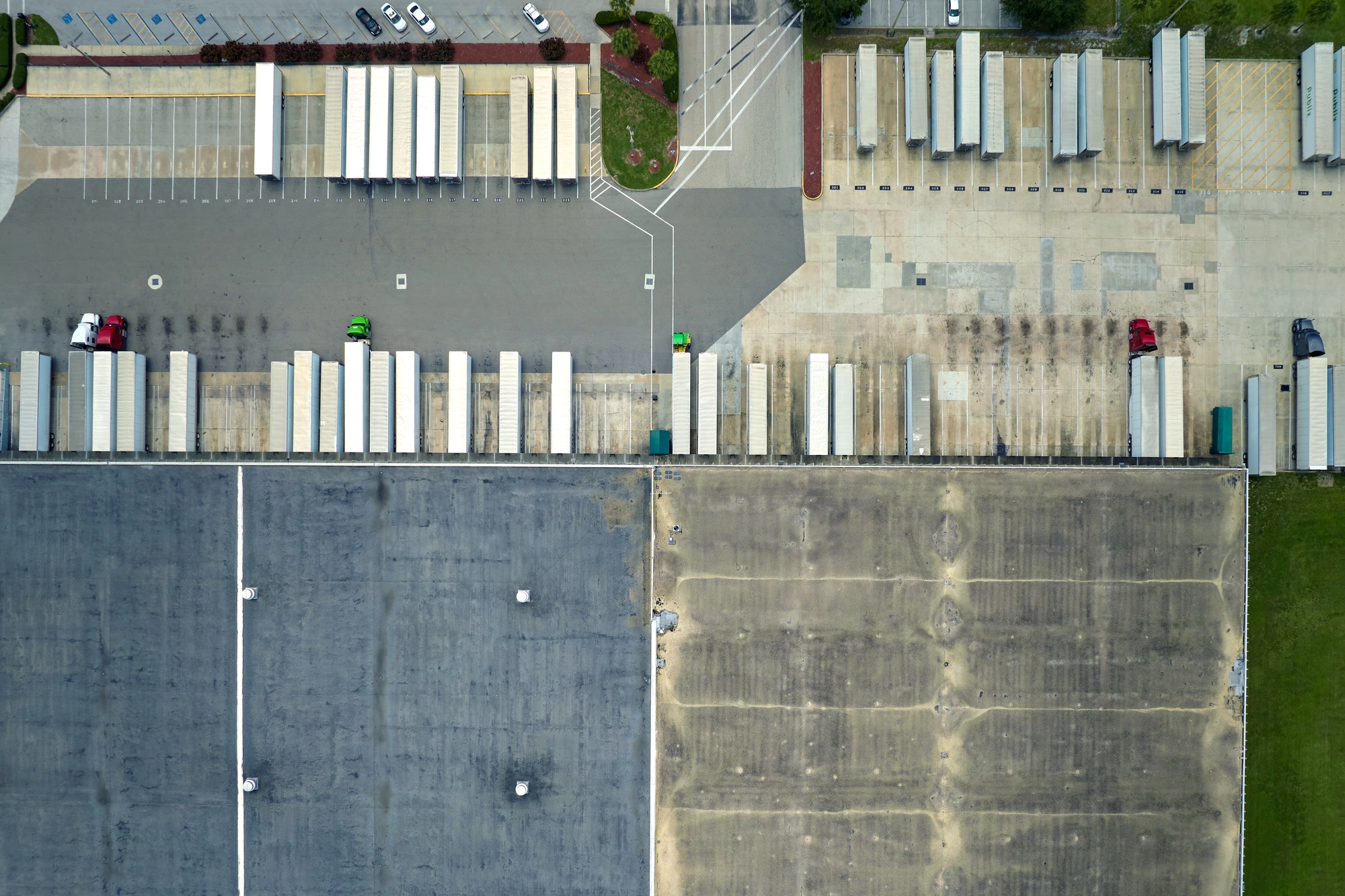 292
Market Updates July, 2025 Hobart June 2025 Commercial & Industrial Market Update Hobart’s commercial and industrial property market continues to evolve...
READ INSIGHT →293Market Updates July, 2025 Darwin June 2025 Commercial & Industrial Market Update Darwin’s commercial and industrial property market in June 2025...
READ INSIGHT → 294
Market Updates July, 2025 Canberra June 2025 Commercial & Industrial Market Update Canberra’s commercial and industrial property sectors remain highly specialised...
READ INSIGHT →2953d masterplan , sell land July, 2025 Unlocking Value: How a 3D Masterplan Can Increase Your Land’s Per Square Metre Price...
READ INSIGHT → 296
Strathpine July, 2025 Strathpine QLD: Commercial Momentum Returns as Strathpine Evolves into a Northern Metro Hub Strathpine has long played a...
READ INSIGHT → 297
Melbourne July, 2025 Williams Landing VIC: Commercial Development Scales Up in Melbourne’s West Williams Landing is fast emerging as the economic...
READ INSIGHT → 298
Melbourne July, 2025 Northcote VIC: Inner-Urban Commercial Property Tightens as Industrial Sites Change Hands Northcote has long been known for its...
READ INSIGHT → 299
Development insights , Sydney July, 2025 Leppington NSW: Commercial Developments Expand as South-West Sydney Takes Shape Leppington is no longer just...
READ INSIGHT → 300
Development insights , Sydney June, 2025 Smithfield NSW: Sydney’s West-Side Industrial Workhorse Evolves Again Smithfield is a suburb built on industrial...
READ INSIGHT → 301
Development insights , Sydney June, 2025 RF Corval Launches $250 Million Metro Infill Industrial Trust Targeting Girraween RF Corval has announced...
READ INSIGHT → 302
Development insights , Sunshine Coast June, 2025 NextDC Eyes Sunshine Coast with New Maroochydore Data Centre Proposal NextDC has lodged plans...
READ INSIGHT → 303
Development insights , Sydney June, 2025 Goodman Group Commits $4 Billion to Data Centres and Robotics-Driven Warehousing Goodman Group is doubling...
READ INSIGHT →304Development insights June, 2025 WS Commits $20 Billion to Australian Data Centres: A New Era for Industrial Land Amazon Web Services...
READ INSIGHT → 305
Brisbane , Development insights June, 2025 Brisbane’s Construction Boom: Navigating Rising Costs Amid Olympic Preparations Brisbane is in the midst of...
READ INSIGHT → 306
Development insights , Sydney June, 2025 Sydney’s Industrial Market Leads Recovery: Why Investors Are Focusing on the Harbour City After a...
READ INSIGHT → 307
Development insights , Townsville June, 2025 Townsville Industrial Market Shows Strength Amid North Queensland Headwinds While other segments of the North...
READ INSIGHT →308Development insights , Melbourne June, 2025 Trilogy Funds Targets E-Commerce Logistics with Key Acquisition in North Geelong Trilogy Funds has secured...
READ INSIGHT →309Development insights , Melbourne June, 2025 $900 Million Industrial Estate in Cranbourne Set to Reshape Melbourne’s Southeast Frasers Property Industrial and...
READ INSIGHT → 310
Development insights , Sydney June, 2025 Elite Supplements Expands With Strategic Land Acquisition in Bella Vista Elite Supplements has secured a...
READ INSIGHT → 311
Adelaide , Development insights June, 2025 $220 Million Port Adelaide Industrial Listing Signals South Australia’s Growth Potential Port Adelaide has stepped...
READ INSIGHT → 312
Development insights , WA June, 2025 Development suburb focus – Wangara WA: Proven Performer in Perth’s Northern Industrial Corridor Wangara has...
READ INSIGHT →313Development insights , WA June, 2025 Kwinana: Western Australia’s Strategic Industrial Powerhouse Kwinana has long been a core engine room for...
READ INSIGHT → 314
Development insights , WA May, 2025 Western Australia Leads in Industrial Growth Across 2025 Western Australia’s industrial property market has surged...
READ INSIGHT → 315
Development insights May, 2025 What Impact Could a Trump Presidency Have on the Australian Commercial Property Market? With Donald Trump likely...
READ INSIGHT → 316
Location Activity , Perth May, 2025 Carillon City’s $400 Million Redevelopment Approved: A New Era for Perth’s CBD Commercial Landscape Perth’s...
READ INSIGHT → 317
Location Activity , Perth May, 2025 Global Investment Firm Barings Backs Perth’s Industrial Market: A Vote of Confidence from Offshore Capital...
READ INSIGHT →318Location Activity , Perth May, 2025 Perth’s Industrial Pipeline Surges: 14 New Projects to Be Delivered by Mid-2025 Perth’s industrial property...
READ INSIGHT → 319
Development insights May, 2025 Kamala Harris Addresses Australian Real Estate Conference: Global Leadership, AI Concerns, and Lessons for the Property Sector...
READ INSIGHT → 320
Development insights , QLD May, 2025 RBA Cuts Interest Rates to 3.85%: Commercial Property Sector Enters a New Phase of Recovery...
READ INSIGHT → 321
Development insights , Sydney May, 2025 $186 Million Hotel Tower Approved in Sydney CBD Amid Opposition: What This Means for Urban...
READ INSIGHT → 322
Development insights , QLD May, 2025 Gold Coast Council Buys Corporate Centre for $117 Million: A Strategic Civic Investment Anchoring the...
READ INSIGHT → 323
Development insights , QLD May, 2025 MA Financial Acquires IPGeneration for $90.4 Million: A Game-Changing Shift in Australia’s Mid-Tier Commercial Investment...
READ INSIGHT → 324
Development insights , QLD May, 2025 Woolloongabba Olympic Precinct Plans Rethink: What’s Next for Brisbane’s Former Games Epicentre? In a dramatic...
READ INSIGHT → 325
Development insights , NSW May, 2025 Suburb Focus – Epping – Northern Sydney: From Transit Hub to Commercial Growth Precinct Epping...
READ INSIGHT → 326
Development insights , WA May, 2025 Suburb Focus — Bradfield (Western Sydney): Australia’s Newest City is Being Built for Industry and...
READ INSIGHT → 327
Brisbane May, 2025 Sunshine Coast Commercial Development in 2025: Olympic Momentum and Urban Growth Converge The Sunshine Coast is rapidly evolving...
READ INSIGHT → 328
Brisbane May, 2025 How the 2023 Brisbane Olympic Changes Are Repositioning the City The Brisbane 2032 Olympics was always going to...
READ INSIGHT →329Location Activity , Melbourne May, 2025 Darwin’s Latest Commercial Development Activity – May 2025 Darwin’s commercial property market in 2025 is...
READ INSIGHT →330Location Activity , Melbourne May, 2025 Melbourne’s Latest Commercial Development Activity – May 2025 Melbourne’s commercial property market in 2025 is...
READ INSIGHT → 331
Brisbane , Location Activity May, 2025 Brisbane’s Latest Commercial Development Activity – May 2025 Infrastructure, and New Growth Corridors Brisbane’s commercial...
READ INSIGHT → 332
Location Activity , Perth May, 2025 Perth’s Latest Commercial Development Activity – May 2025 Perth’s commercial property market is experiencing significant...
READ INSIGHT → 333
Market Trends May, 2025 Commercial Property Market Trends – May 2025 The commercial property landscape in Australia is experiencing significant shifts...
READ INSIGHT → 334
Sydney May, 2025 Sydney’s Industrial Development Landscape: Key Corridors, Investment Zones and Strategic Precincts in 2025 Sydney’s industrial property market in...
READ INSIGHT →335Perth May, 2025 Perth’s Western Trade Coast: WA’s Leading Industrial Corridor for Heavy Industry and Export Growth Perth’s Western Trade Coast...
READ INSIGHT → 336
Perth May, 2025 Pilbara Industrial Development in 2025: Strategic Areas Powering Australia’s Resource and Energy Future Western Australia’s Pilbara region is...
READ INSIGHT → 337
Perth May, 2025 Forrestdale Business Park West: Perth’s South-East Industrial Growth Engine Located just 21km from Perth’s CBD, Forrestdale Business Park...
READ INSIGHT →338Development insights May, 2025 Pre-leasing strategy for new estates: how to secure tenants before completion in 2025 Pre-leasing is no longer...
READ INSIGHT → 339
Development insights May, 2025 Marketing Land Before Titles Are Ready — How to Generate Demand Before Settlement Selling land before titles...
READ INSIGHT → 340
Development insights May, 2025 Subdividing Commercial and Industrial Land Lots: Strategies to Maximise Return in 2025 Subdividing land is one of...
READ INSIGHT → 341
Sydney May, 2025 Sydney’s Industrial Land Crunch: Navigating the 2025 Supply Squeeze Sydney’s industrial property market has entered a new phase...
READ INSIGHT → 342
Welshpool WA commercial and industrial property market overview covering development activity, logistics, industrial land, property trends and major sites.
READ INSIGHT → 343
Perth May, 2025 Perth’s Industrial Corridors in 2025: How Strategic Zoning is Driving the Next Phase of Growth While Perth’s outer...
READ INSIGHT → 344
Sydney Wednesday, 30 April, 2025 Last-Mile Logistics and Urban Industrial: How Sydney’s Inner Zones Are Being Reimagined in 2025 While Western...
READ INSIGHT →345Development insights Tuesday, 29 April, 2025 Why Berrinba and Crestmead Are Emerging Commercial and Industrial Hotspots in Brisbane As Brisbane’s southern...
READ INSIGHT → 346
Development insights Tuesday, 29 April, 2025 Why Yatala is a Leading Location for Industrial and Commercial Development in Brisbane When it...
READ INSIGHT → 347
Development insights Tuesday, 29 April, 2025 How to Maximise Price for your Industrial & Commercial land Selling vacant land at top...
READ INSIGHT → 348
Development insights Monday, 28 April, 2025 How to Speed Up Development Approvals: Tips for Every Australian State Getting a development approved...
READ INSIGHT → 349
Development insights Monday, 28 April, 2025 Top 10 Development Hotspots in Australia in 2025 As 2025 unfolds, Australia’s development landscape is...
READ INSIGHT →350Brisbane Monday, 28 April, 2025 What Development Opportunities Will the Brisbane Olympics Bring — and How Quickly Will They Arise? The...
READ INSIGHT → 351
Brisbane Sunday, 27 April, 2025 Brisbane’s Development Future: How the 2032 Olympics Will Shape Commercial Property Growth The countdown is on...
READ INSIGHT →352Perth Sunday, 27 April, 2025 Sydney’s Outer Suburb Development Areas: Where Commercial and Industrial Growth is Accelerating in 2025 Sydney’s commercial...
READ INSIGHT → 353
Perth Saturday, 26 April, 2025 A Guide to Taking Commercial Property to Market in Perth Selling or leasing commercial property in...
READ INSIGHT → 354
Development insights Saturday, 26 April, 2025 The Best Way to Sell Land Lots: 3D Visualisation, Professional Presentation, and Market-Specific Strategy Selling...
READ INSIGHT →355Sunshine Coast Friday, 25 April, 2025 Sunshine Coast Commercial and Industrial Property is Booming in 2025 The Sunshine Coast has become...
READ INSIGHT → 356
Hobart Friday, 25 April, 2025 Commercial Property Demand is Rising in Hobart in 2025 Hobart’s commercial property market is experiencing steady,...
READ INSIGHT → 357
Perth Thursday, 24 April, 2025 Best Industrial Development Locations in Perth for 2025 Perth’s industrial market continues to gain momentum in...
READ INSIGHT →358Brisbane Thursday, 24 April, 2025 Best Industrial Development Locations in Brisbane for 2025 Brisbane’s industrial market continues to outperform in 2025,...
READ INSIGHT → 359
Cairns Wednesday, 23 April, 2025 Cairns Commercial Property is Gaining Serious Momentum in 2025 Once defined by its tourism sector, Cairns...
READ INSIGHT → 360
Adelaide Wednesday, 23 April, 2025 Adelaide Commercial Property Market 2025: Stable Growth, High Yields, and Emerging Sectors Adelaide has quietly become...
READ INSIGHT → 361
Brisbane Tuesday, 22 April, 2025 South Brisbane Industrial Development in 2025: Expansion, Demand, and a Market Going Bezerk South Brisbane’s industrial...
READ INSIGHT →362Perth Monday, 21 April, 2025 Perth’s Growing Industrial Corridors: Location, Logistics and Long-Term Opportunity As demand for logistics, warehousing and manufacturing...
READ INSIGHT → 363
Darwin Sunday, 20 April, 2025 Darwin’s Commercial Property Market in 2025: Emerging Potential in a Strategic Gateway City Darwin’s commercial property...
READ INSIGHT → 364
Perth Thursday, 17 April, 2025 Perth’s Industrial Property Market in 2025: Growth, Infrastructure, and Strategic Opportunity Perth’s industrial market is evolving...
READ INSIGHT →365Canberra Tuesday, 15 April, 2025 Canberra’s Commercial Property Market in 2025: Government Stability and Long-Term Growth As Australia’s capital city, Canberra...
READ INSIGHT → 366
Perth Monday, 14 April, 2025 How to Lease and Reposition Your Commercial Property in Perth for 2025 With vacancy rates tightening...
READ INSIGHT →367Perth Monday, 14 April, 2025 Perth Commercial Property in 2025: What Investors and Sellers Need to Know Perth’s commercial property market...
READ INSIGHT →368Development insights Friday, 11 April, 2025 Why Sydney’s Office Market is Evolving in 2025 After a period of uncertainty, Sydney’s office...
READ INSIGHT → 369
Development insights Thursday, 10 April, 2025 A Guide to Selling Commercial Property in Australia Selling commercial property in Australia requires a...
READ INSIGHT → 370
Sydney Wednesday, 9 April, 2025 Why Sydney’s Office Market is Evolving in 2025 After a period of uncertainty, Sydney’s office sector...
READ INSIGHT → 371
Melbourne Wednesday, 9 April, 2025 Why Melbourne’s Industrial Market is One to Watch in 2025 As vacancy rates tighten and land...
READ INSIGHT → 372
Brisbane Thursday, 3 April, 2025 Why Brisbane is key for Commercial Property Investment in 2025 Commercial investment in Brisbane is gaining...
READ INSIGHT →373Development insights Thursday, 3 April, 2025 Is Now the Time to Sell Your Commercial Asset? With rising yields, ongoing demand for...
READ INSIGHT →374Darwin Thursday, 3 April, 2025 Darwin’s Commercial Sector: Gateway to Asia Darwin is fast becoming one of Australia’s most strategically positioned...
READ INSIGHT → 375
Canberra Thursday, 3 April, 2025 Canberra Commercial Market: Government & Beyond Long seen as a government town, Canberra’s commercial property market...
READ INSIGHT → 376
Adelaide Wednesday, 2 April, 2025 ESG and Sustainable Development Are Now Non-Negotiable Environmental, Social, and Governance (ESG) priorities have moved from...
READ INSIGHT →377Development insights Wednesday, 2 April, 2025 ESG and Sustainable Development Are Now Non-Negotiable Environmental, Social, and Governance (ESG) priorities have moved...
READ INSIGHT → 378
Perth Sunday, 30 March, 2025 Perth Commercial Property Forecast Perth’s commercial property market is entering 2025 with strong momentum, driven by...
READ INSIGHT → 379
Brisbane Sunday, 23 March, 2025 Brisbane’s Industrial Boom: What’s Driving Record Demand and Future Growth in 2025 Brisbane is leading the...
READ INSIGHT → 380
Melbourne Friday, 21 March, 2025 Melbourne’s Office Market in Transition Melbourne’s commercial property landscape is undergoing a significant shift as the...
READ INSIGHT → 381
Hobart Friday, 3 January, 2025 Hobart’s Rise in Niche Commercial Investment Once considered a fringe market for commercial real estate, Hobart...
READ INSIGHT → 382
Sydney Thursday, 2 January, 2025 Sydney Commercial Property Outlook 2025 Sydney remains one of Australia’s most dynamic commercial property markets, and...
READ INSIGHT →