
01
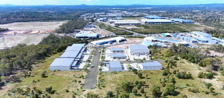
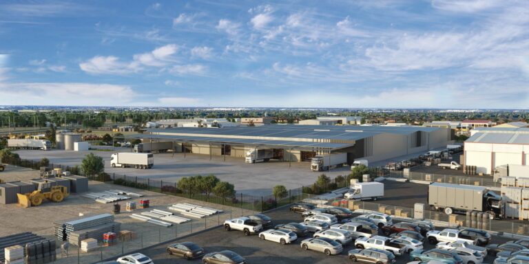
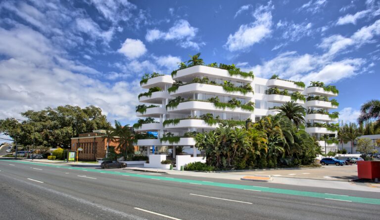
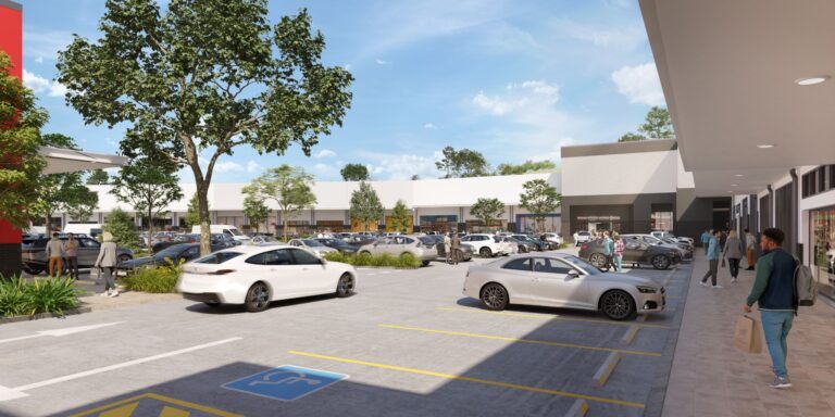
Aerial 3D Renders
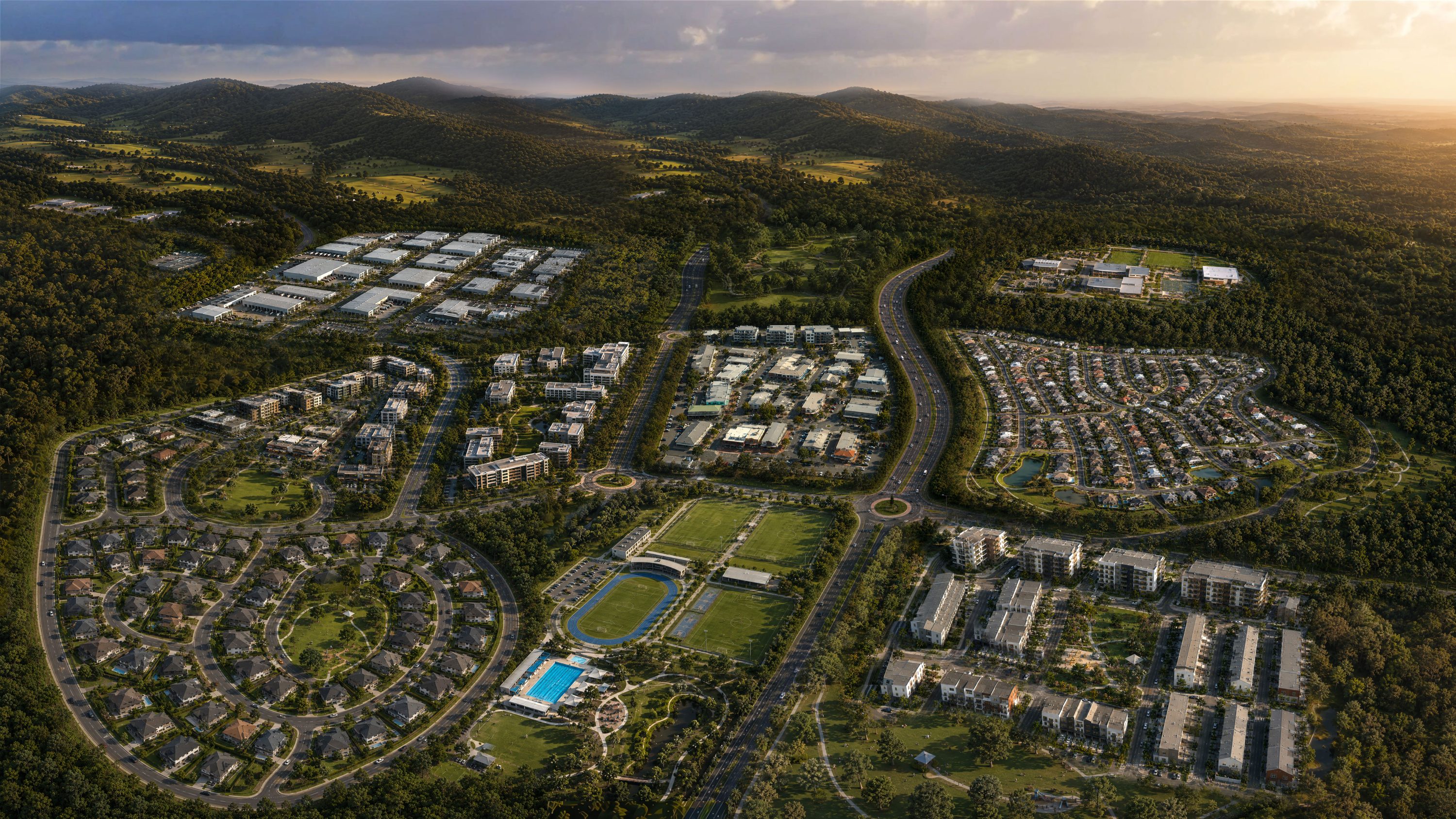
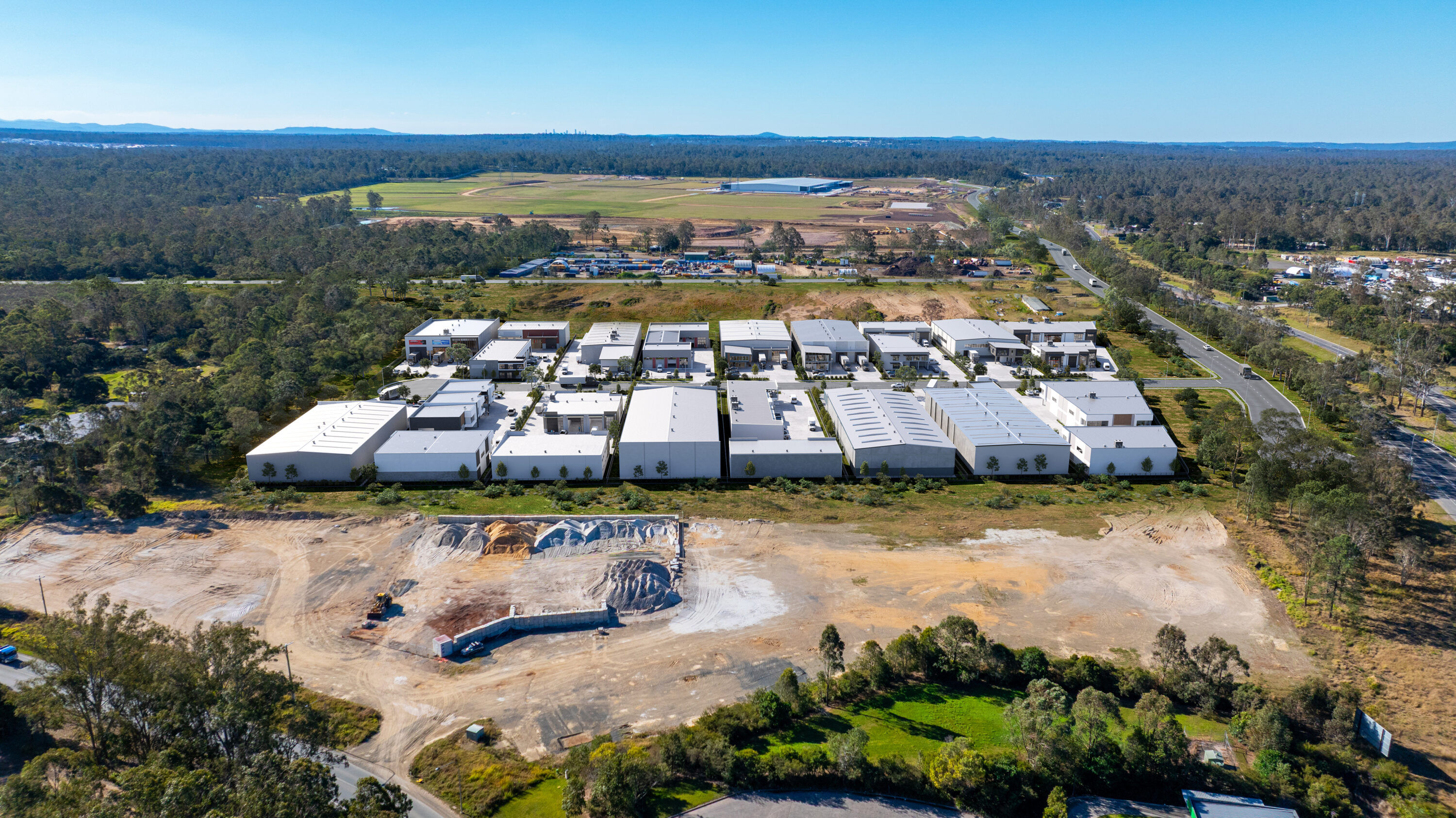
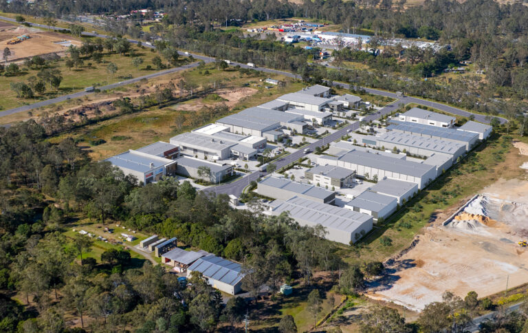
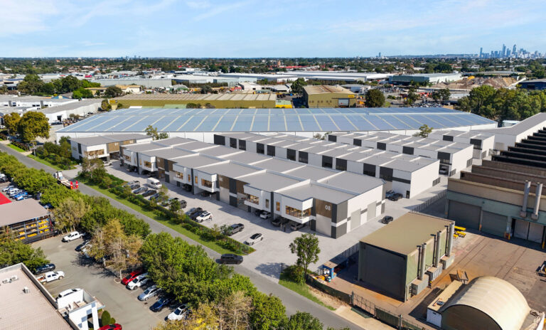
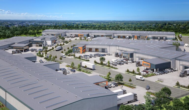
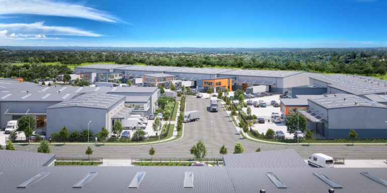
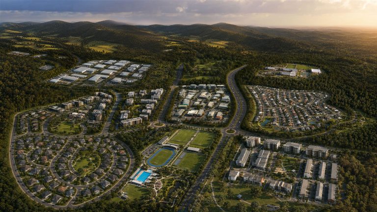
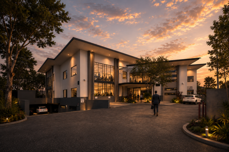
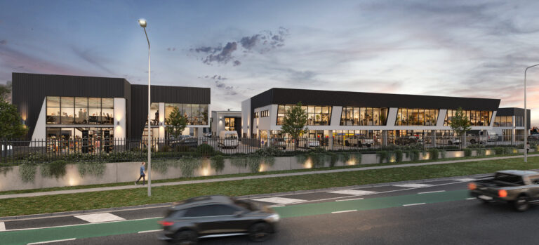
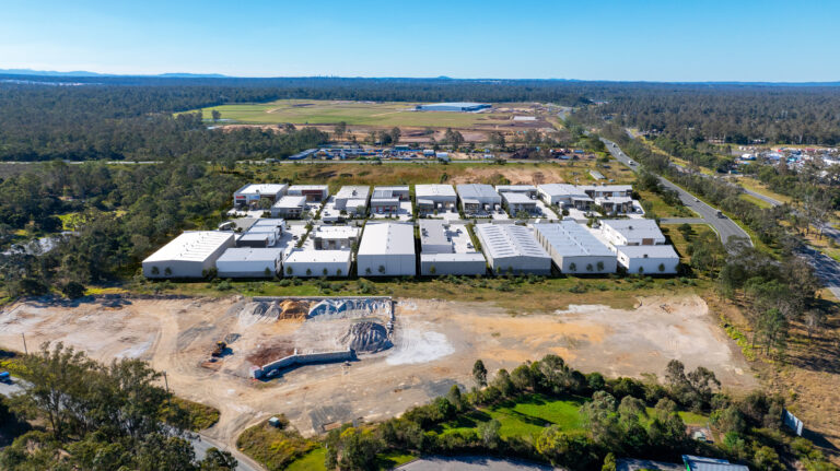
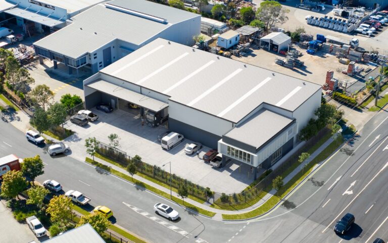
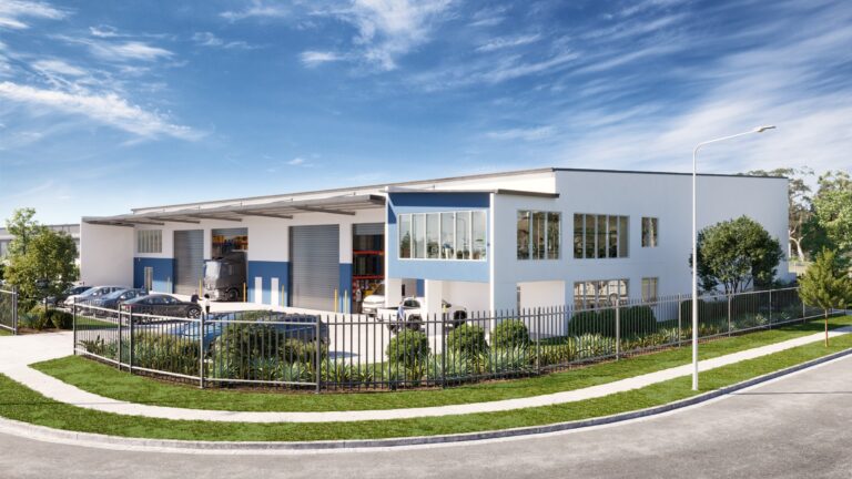
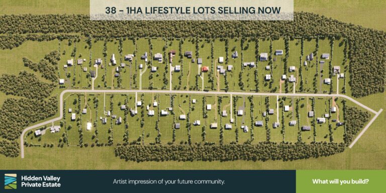
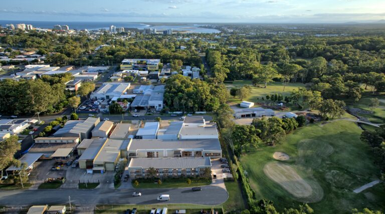
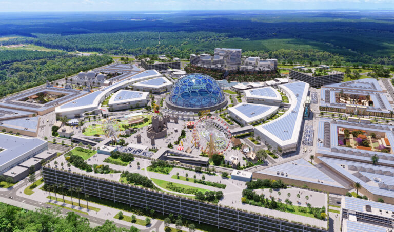
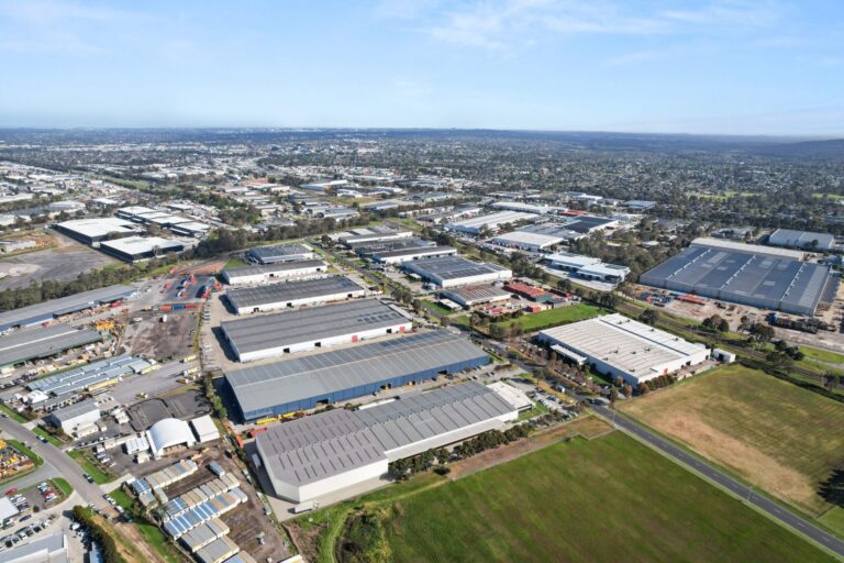
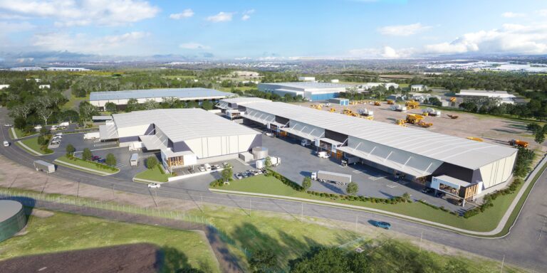
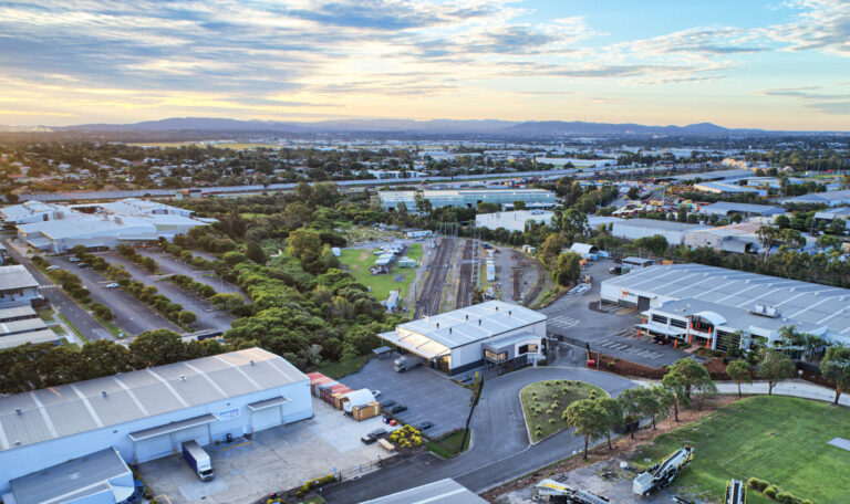
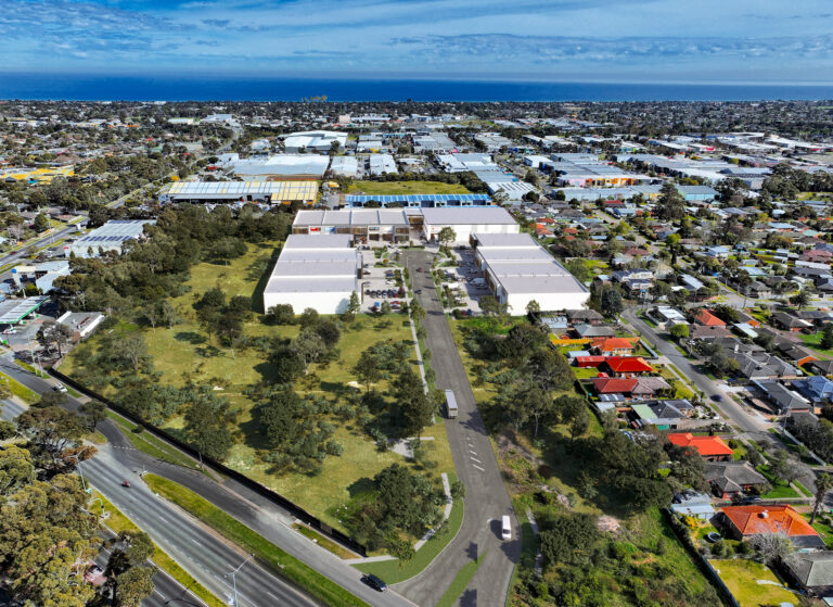
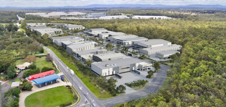
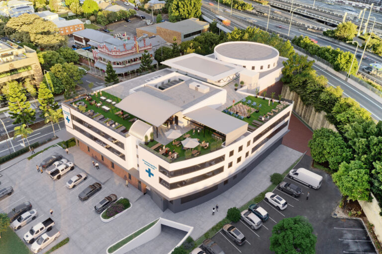
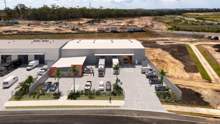
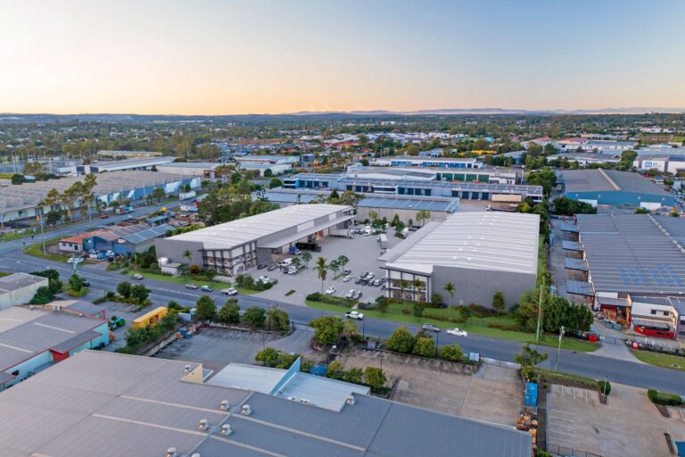
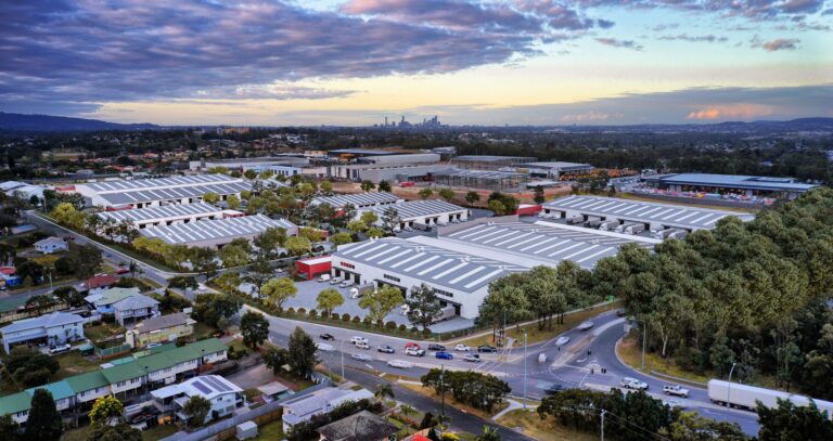
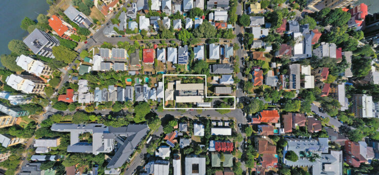
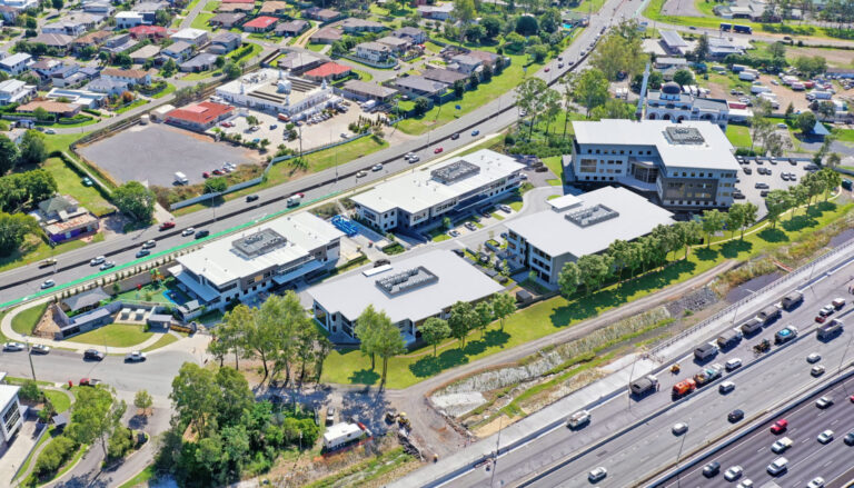
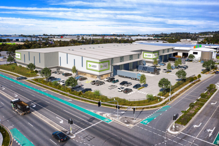
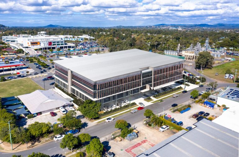
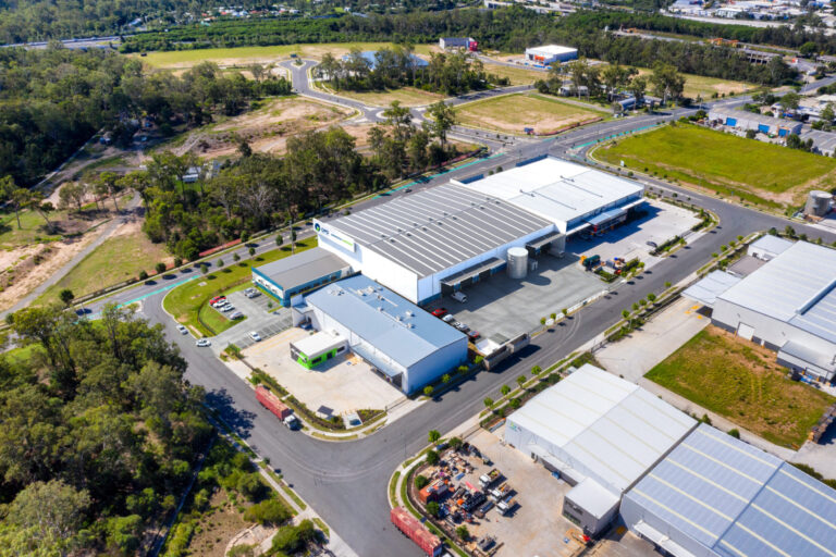
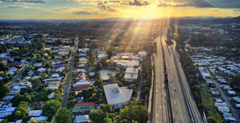
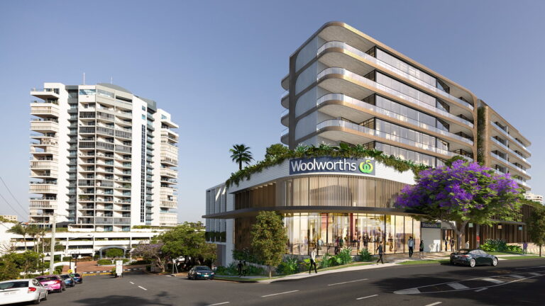
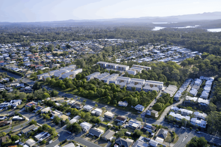
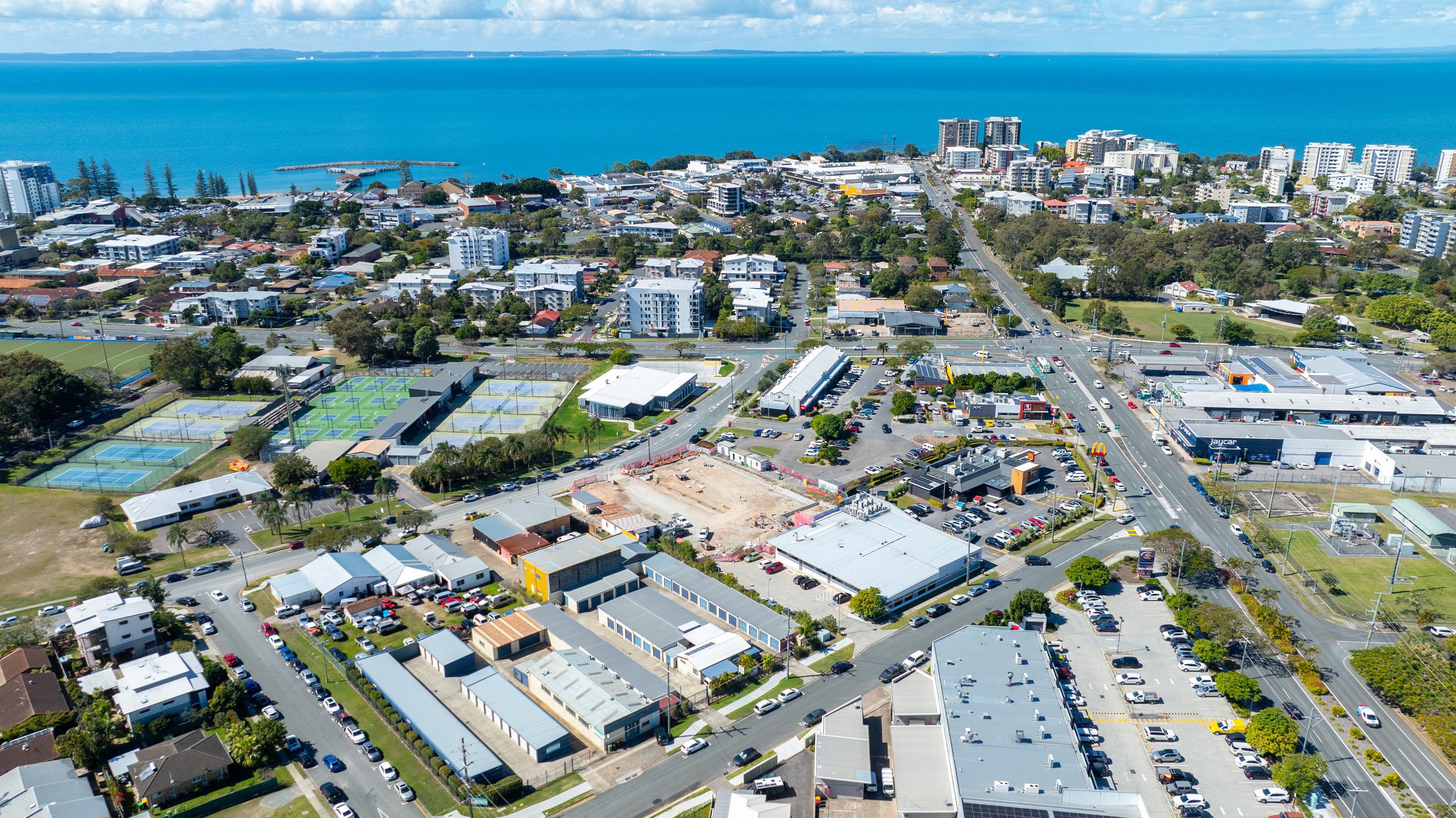
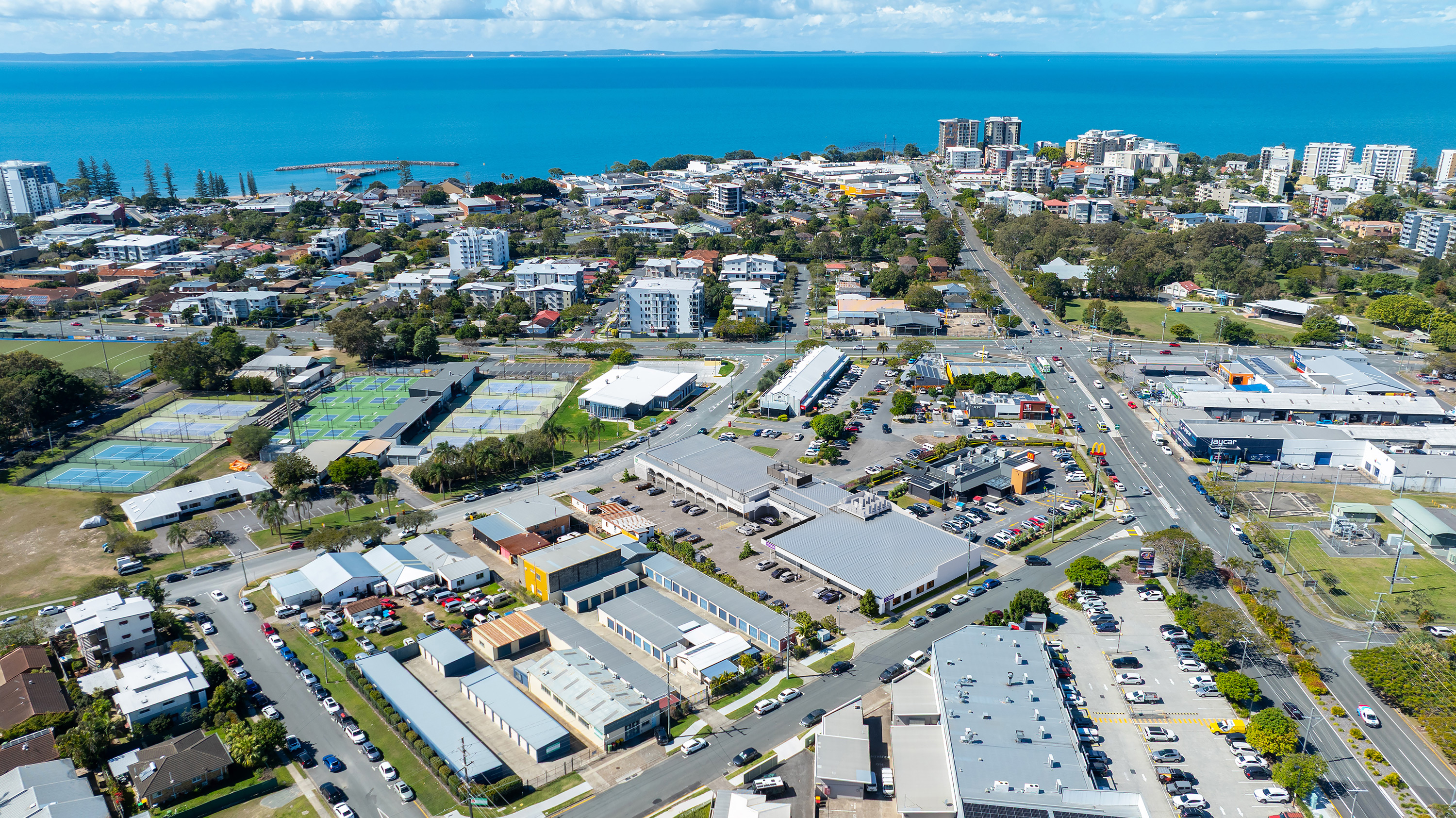
We used drone photography combined with architectural data to produce accurate aerial 3D montages of the site. These renders demonstrated how the estate integrates with major arterial routes and surrounding logistics infrastructure, helping communicate its scale and strategic positioning.
Why It Works:
-
Displays the project in its true environment and scale
-
Highlights connectivity to major transport corridors
-
Strengthens early-stage marketing with clear spatial context