

01
Aerial 3D Renders
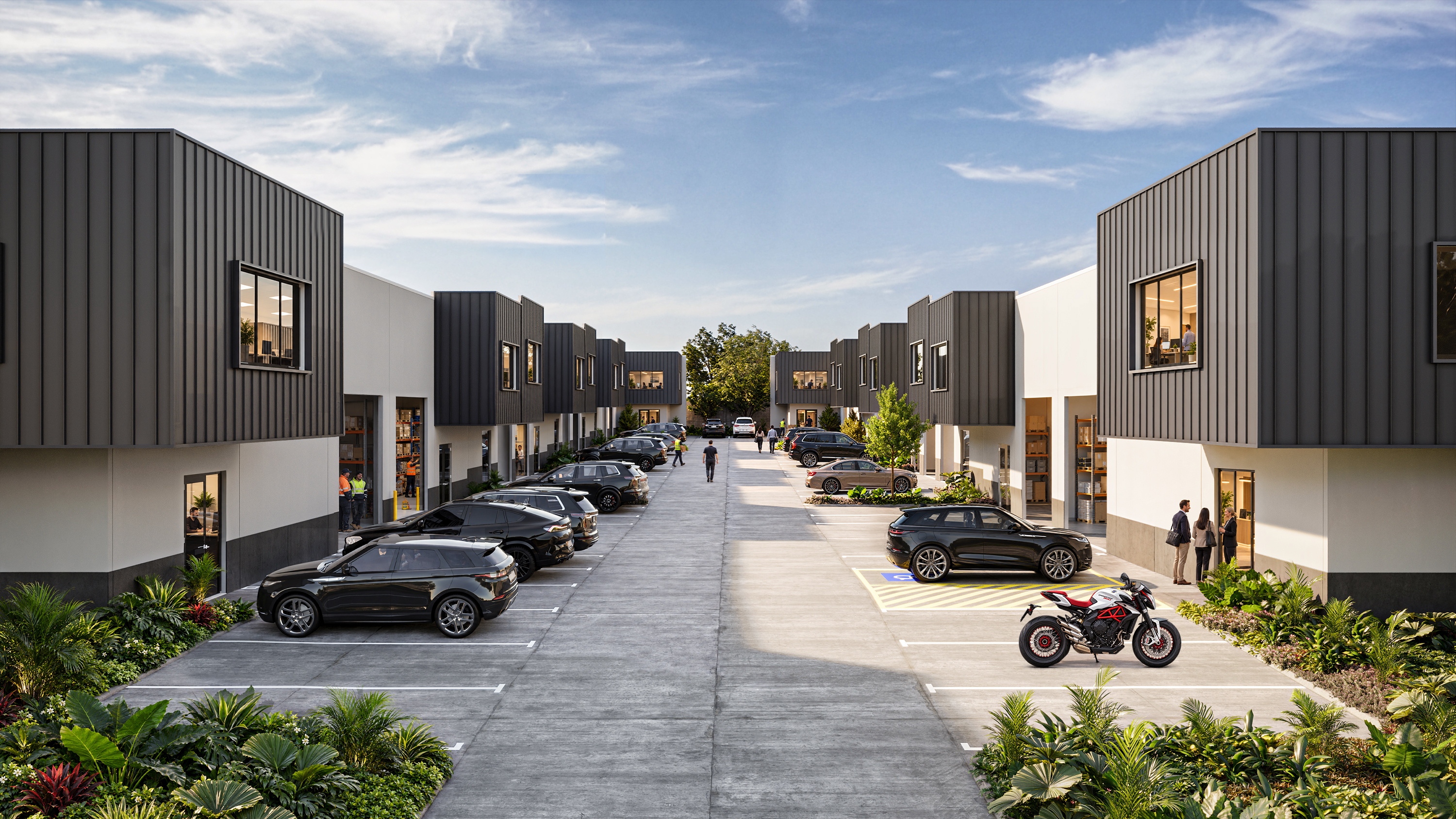
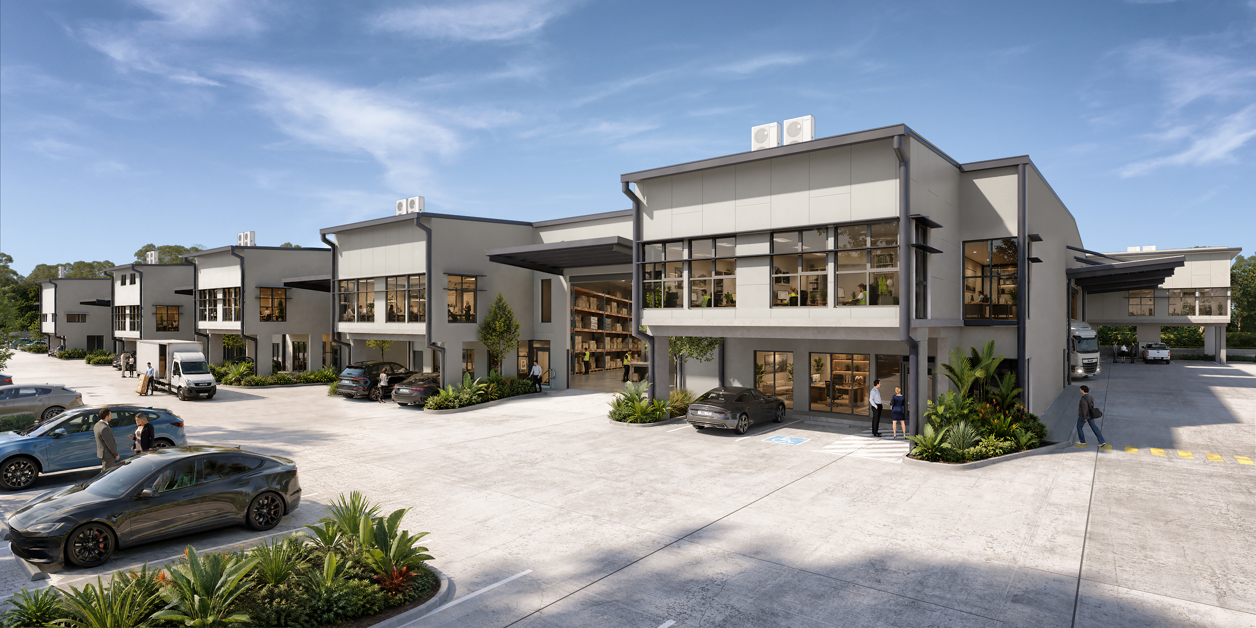
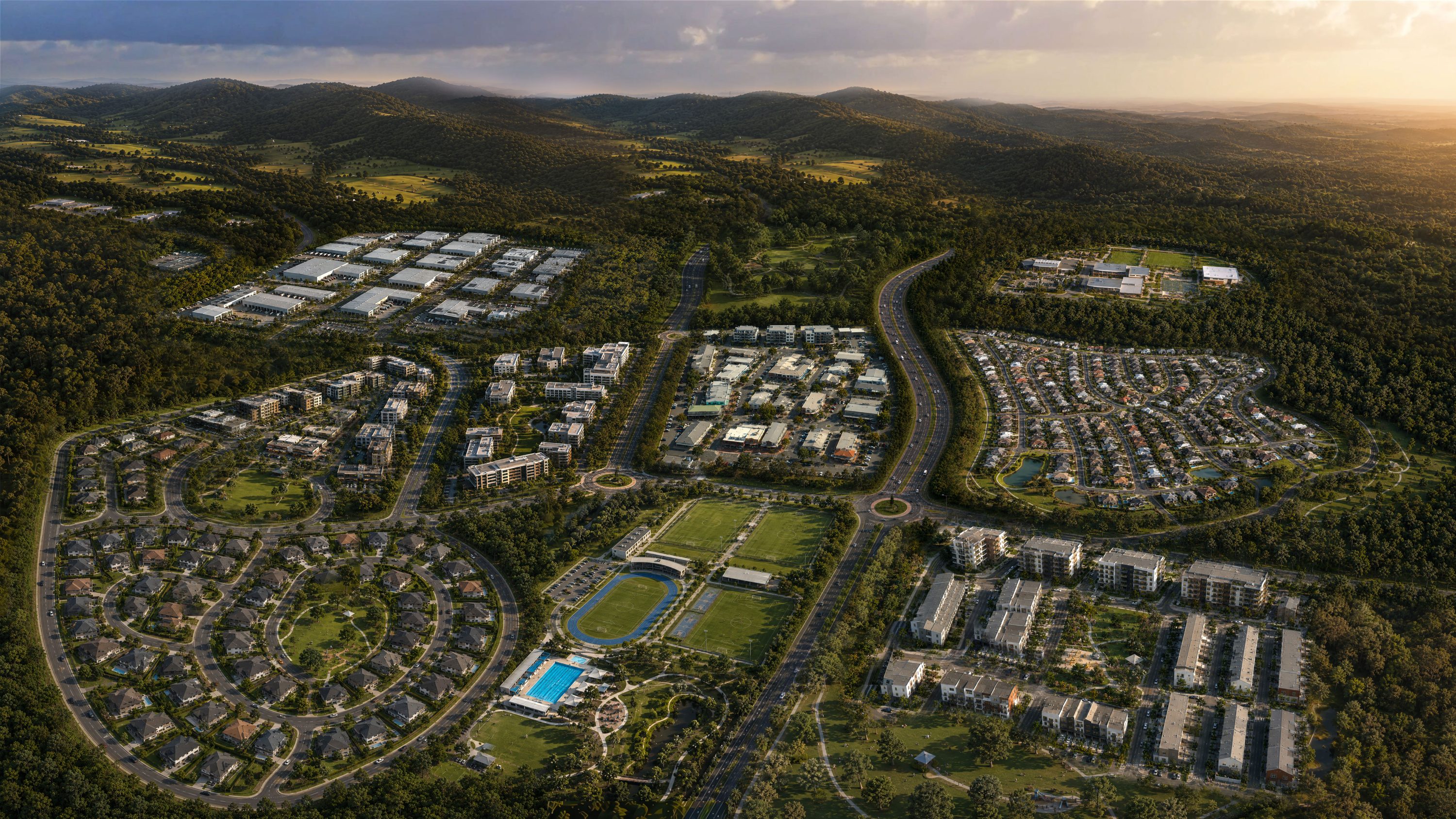
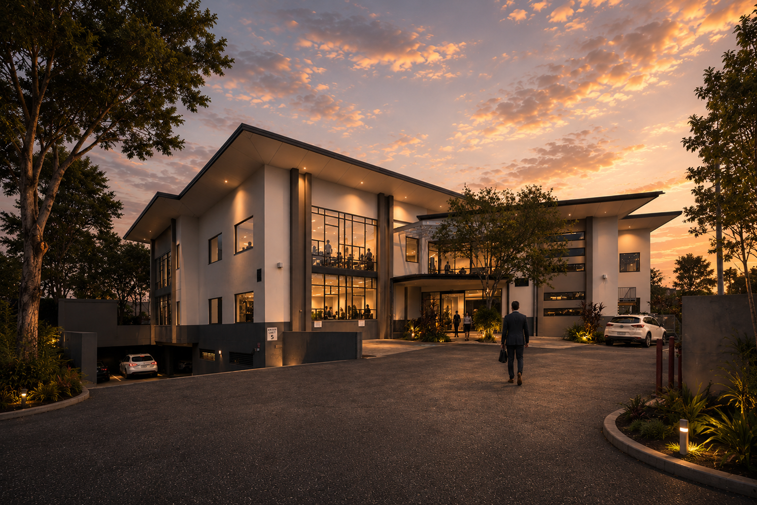
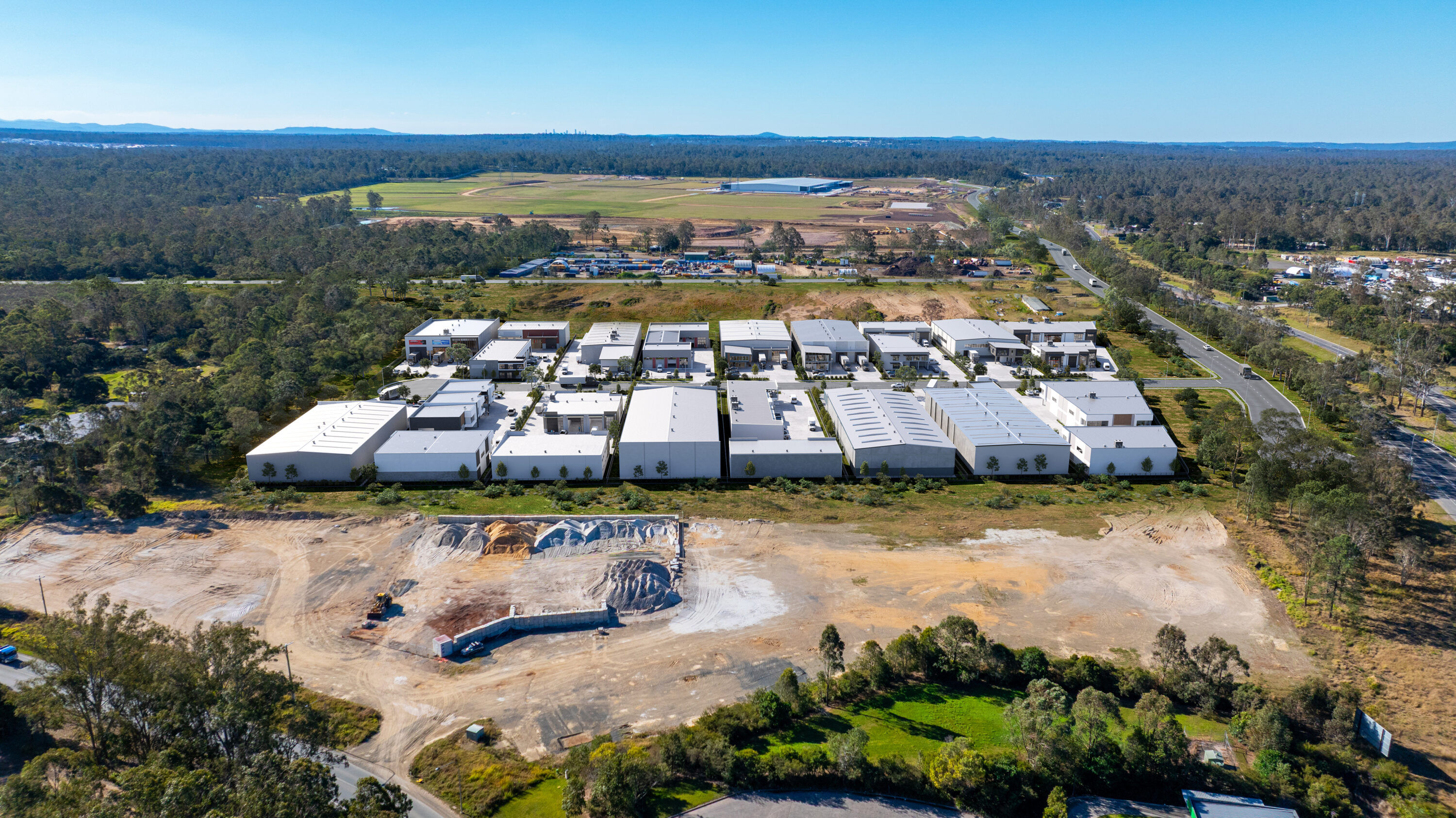
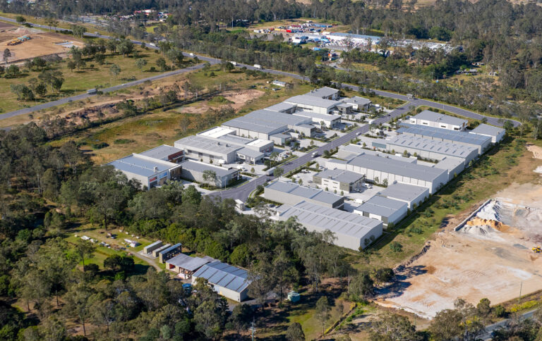
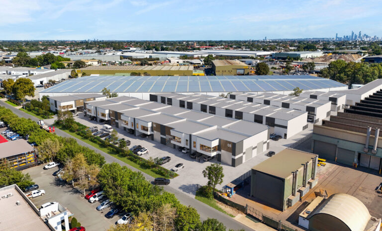
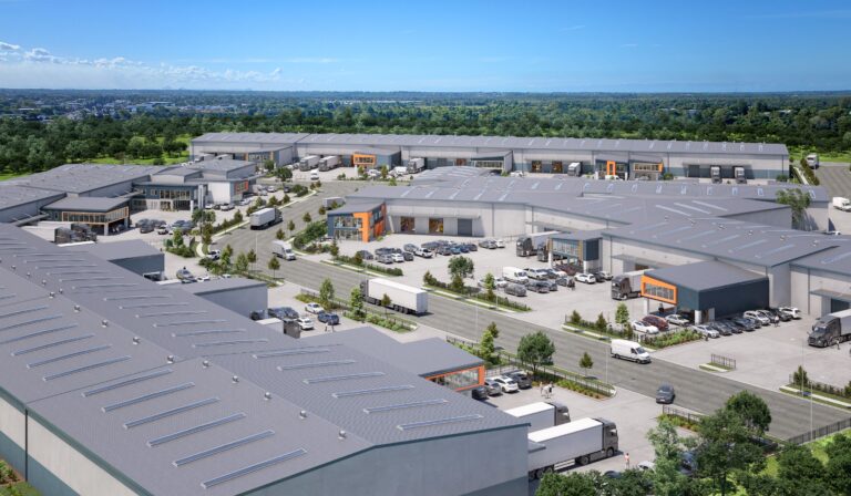
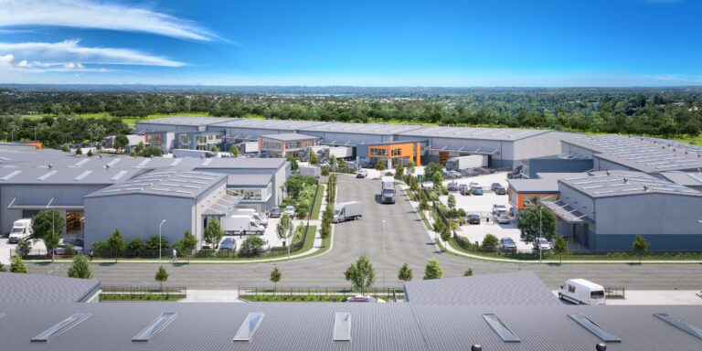
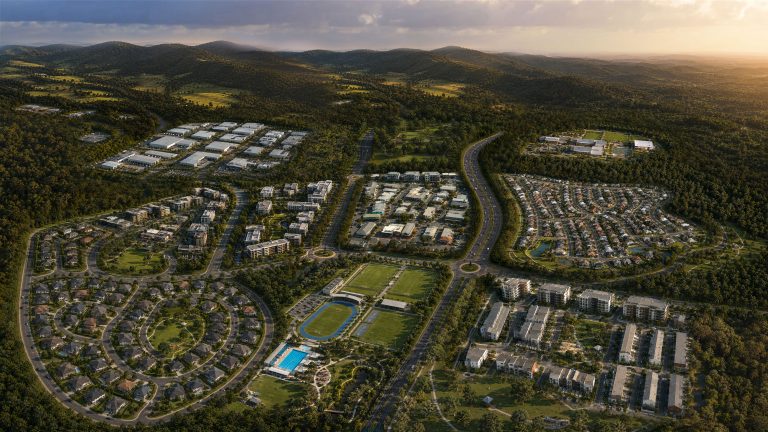
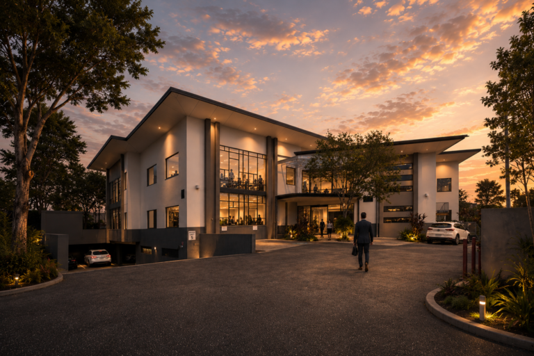
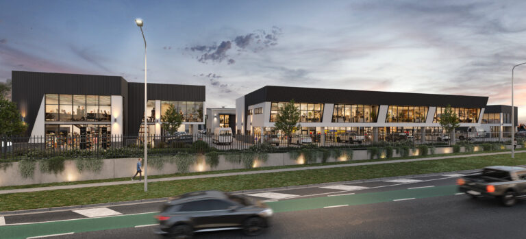
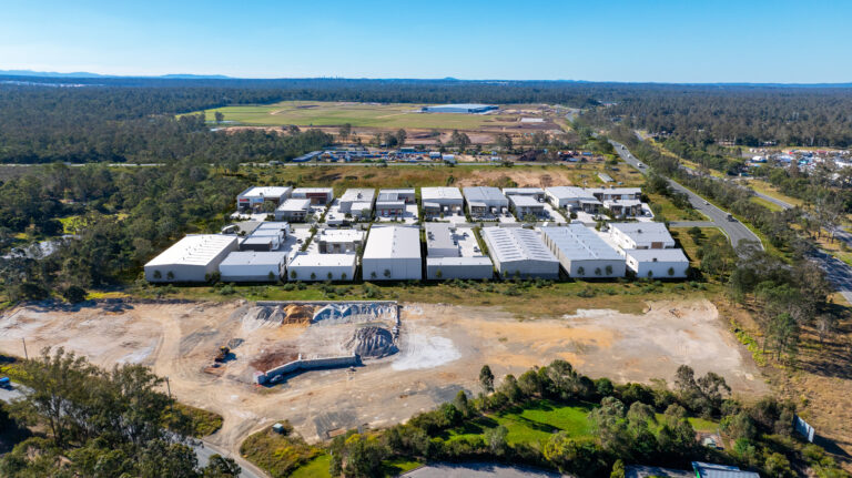
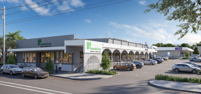
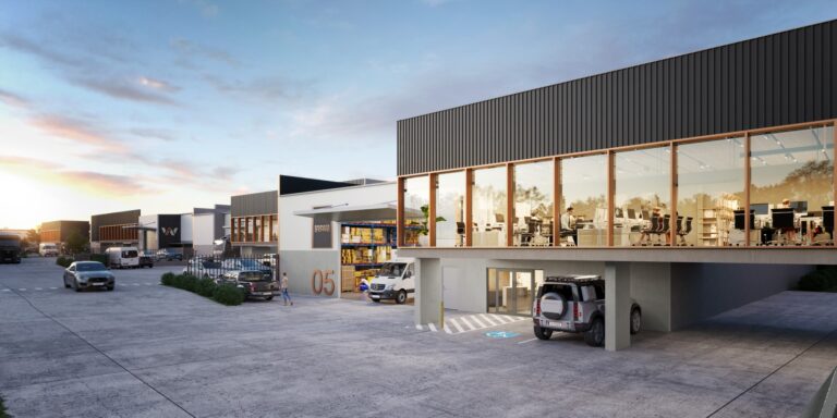
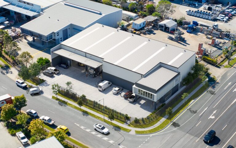
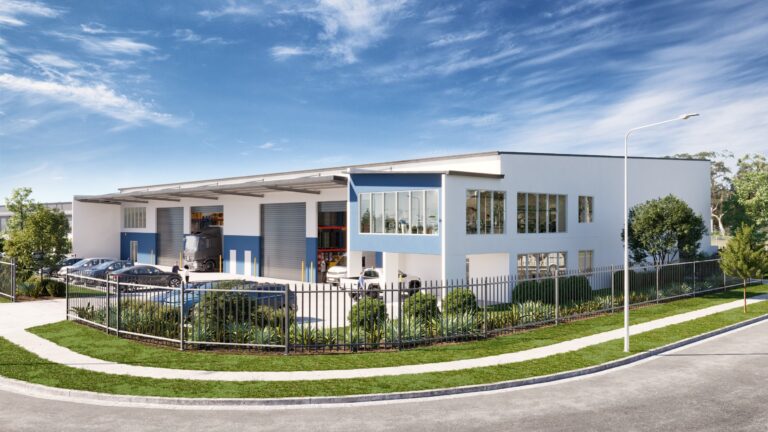
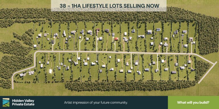
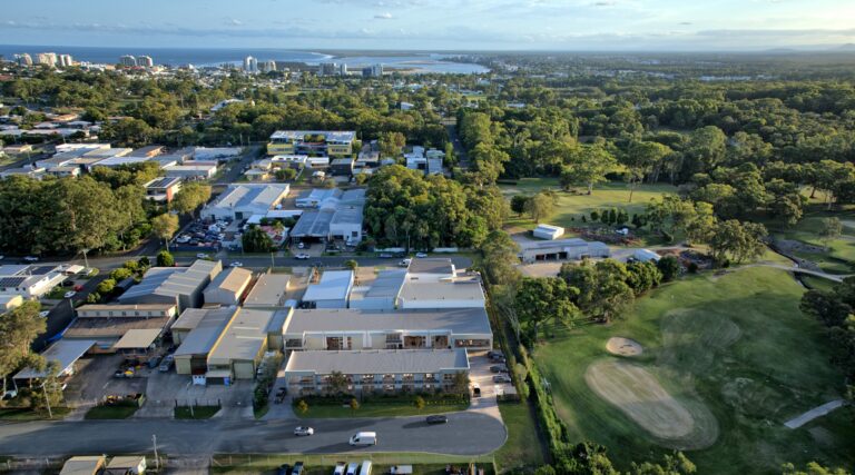
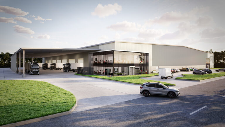
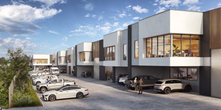
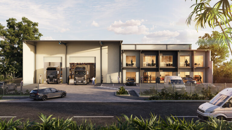
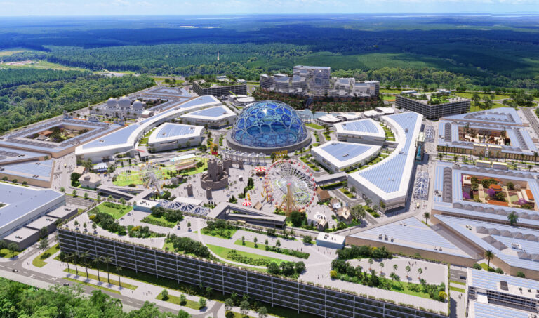
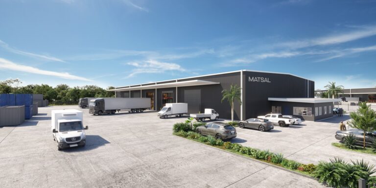
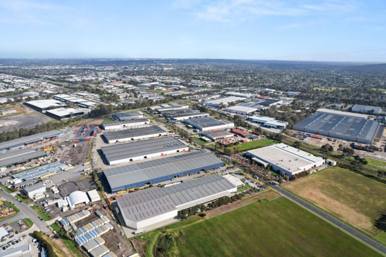
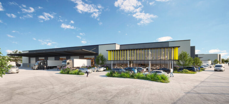
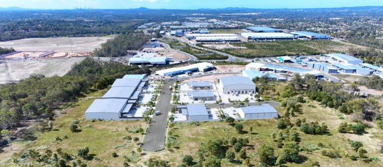
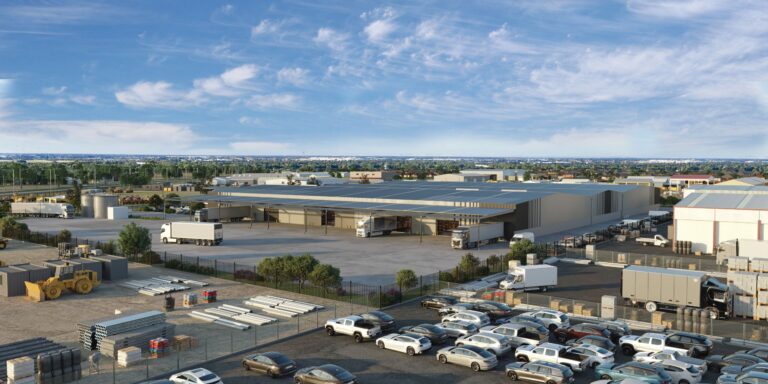
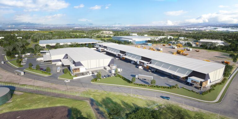
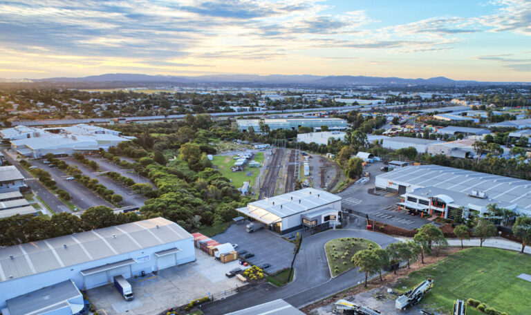
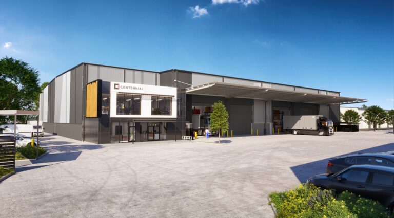
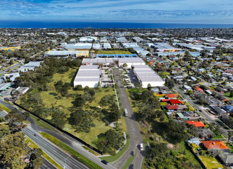
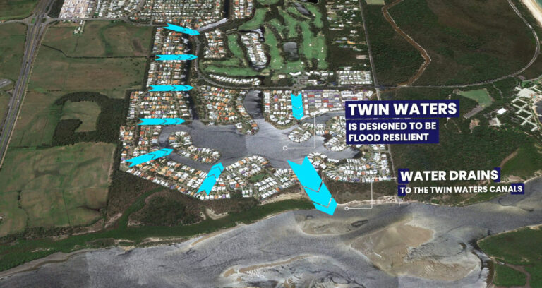
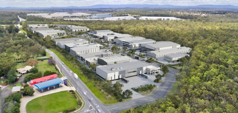
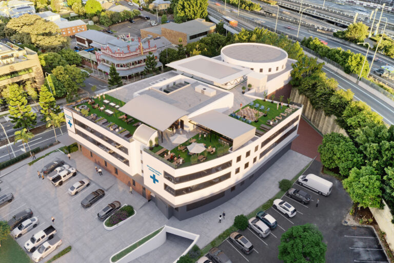
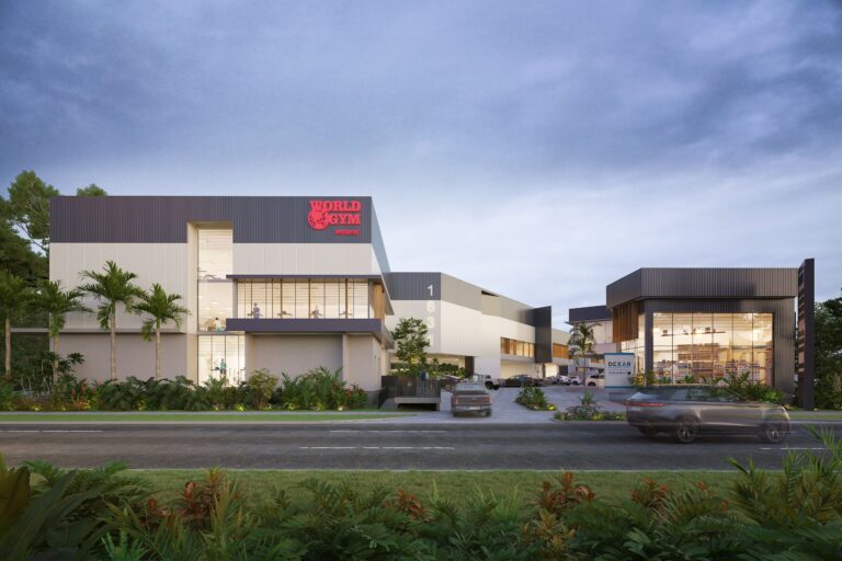
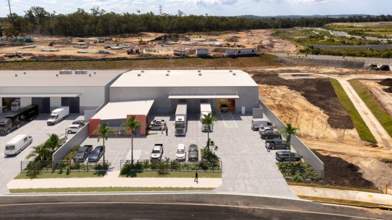
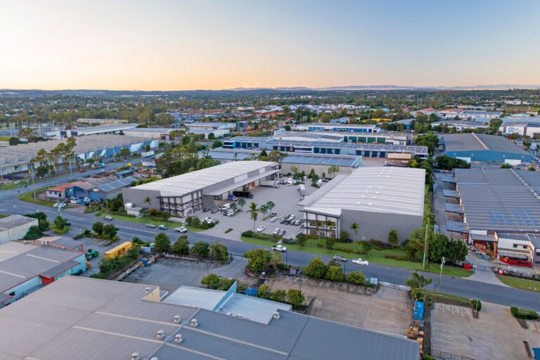
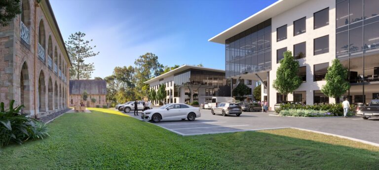
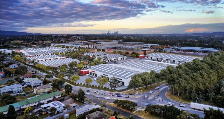
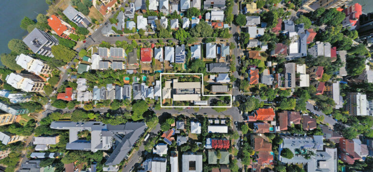
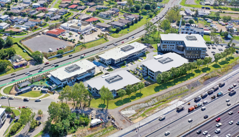
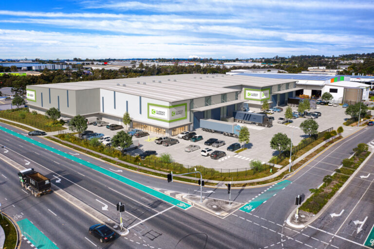
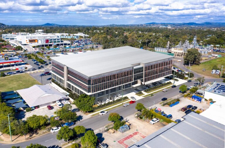
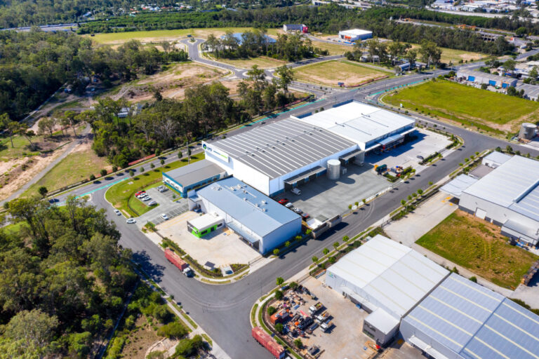
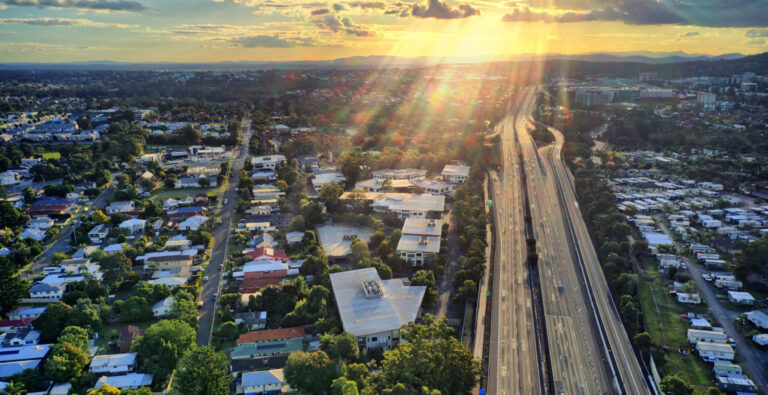
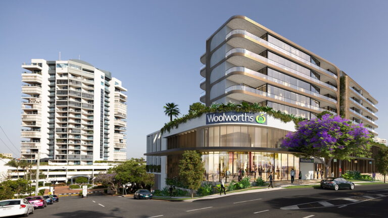
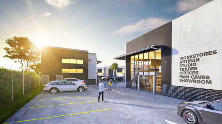
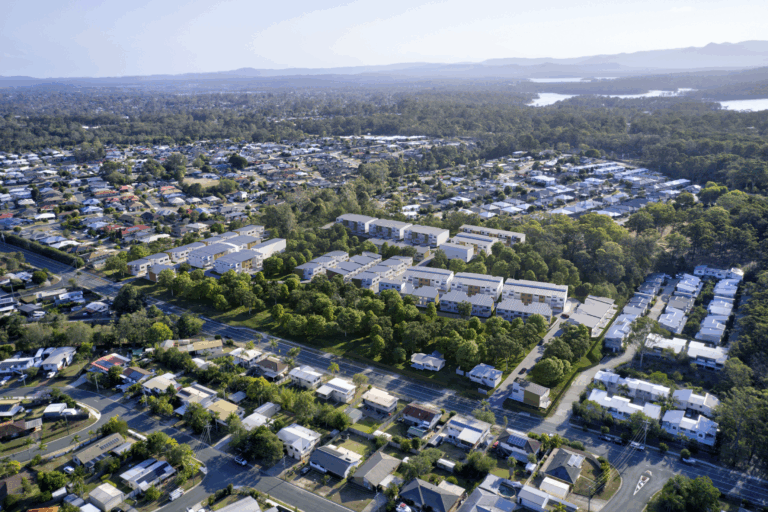
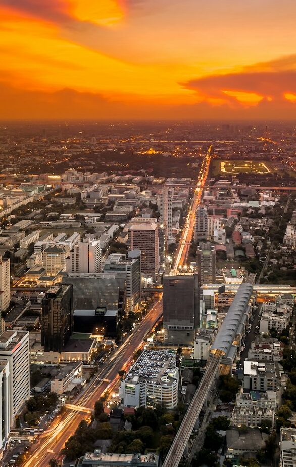
We created high-resolution aerial 3D renders that integrated the proposed development directly into real-world drone photography. These visuals captured the layout, orientation, and scale of the site in its surrounding environment.
Why It Works:
-
Helps buyers and investors instantly understand the location
-
Demonstrates proximity to major roads, suburbs, and infrastructure
-
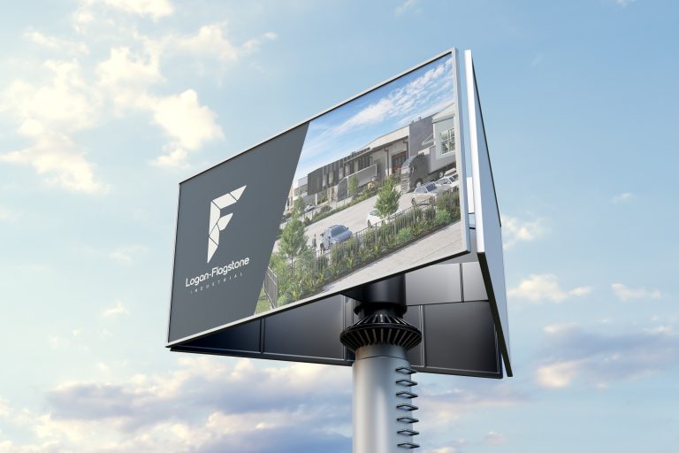
Ideal for use across digital campaigns, signage, and presentations